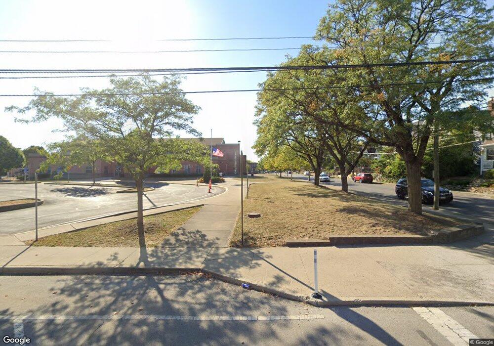
1295 N 4th St Unit TWENTY Columbus, OH 43201
Dennison Place NeighborhoodEstimated Value: $151,000 - $371,000
3
Beds
1
Bath
1,388
Sq Ft
$180/Sq Ft
Est. Value
About This Home
This home is located at 1295 N 4th St Unit TWENTY, Columbus, OH 43201 and is currently estimated at $250,133, approximately $180 per square foot. 1295 N 4th St Unit TWENTY is a home located in Franklin County with nearby schools including Hubbard Elementary School, Dominion Middle School, and Whetstone High School.
Ownership History
Date
Name
Owned For
Owner Type
Purchase Details
Closed on
Dec 21, 2007
Sold by
Citimortgage Inc
Bought by
Digennaro Aram L
Current Estimated Value
Purchase Details
Closed on
Jun 15, 2007
Sold by
Brisco Pamela L and Harper Pamela L
Bought by
Citimortgage Inc
Purchase Details
Closed on
Jan 24, 1992
Bought by
Brisco Pamela
Purchase Details
Closed on
Oct 1, 1985
Purchase Details
Closed on
Mar 1, 1984
Create a Home Valuation Report for This Property
The Home Valuation Report is an in-depth analysis detailing your home's value as well as a comparison with similar homes in the area
Home Values in the Area
Average Home Value in this Area
Purchase History
| Date | Buyer | Sale Price | Title Company |
|---|---|---|---|
| Digennaro Aram L | $18,000 | Resource T | |
| Citimortgage Inc | $38,000 | Resource Title Agency Inc | |
| Brisco Pamela | $39,900 | -- | |
| -- | -- | -- | |
| -- | -- | -- |
Source: Public Records
Tax History Compared to Growth
Tax History
| Year | Tax Paid | Tax Assessment Tax Assessment Total Assessment is a certain percentage of the fair market value that is determined by local assessors to be the total taxable value of land and additions on the property. | Land | Improvement |
|---|---|---|---|---|
| 2024 | $4,834 | $52,890 | $5,220 | $47,670 |
| 2023 | $2,343 | $52,890 | $5,220 | $47,670 |
| 2022 | $823 | $15,860 | $2,490 | $13,370 |
| 2021 | $824 | $15,860 | $2,490 | $13,370 |
| 2020 | $825 | $15,860 | $2,490 | $13,370 |
| 2019 | $746 | $12,290 | $2,070 | $10,220 |
| 2018 | $813 | $11,730 | $2,070 | $9,660 |
| 2017 | $711 | $11,730 | $2,070 | $9,660 |
| 2016 | $941 | $14,210 | $2,100 | $12,110 |
| 2015 | $916 | $14,210 | $2,100 | $12,110 |
| 2014 | $844 | $13,620 | $2,100 | $11,520 |
| 2013 | $464 | $15,155 | $2,345 | $12,810 |
Source: Public Records
Map
Nearby Homes
- 154-156 W 6th Ave
- 1298 Hunter Ave
- 93 King Ave Unit 95
- 1245 Pennsylvania Ave
- 63 Smith Place
- 398 W 5th Ave
- 343 King Ave Unit 345
- 1438-1440 Hunter Ave
- 396 W 7th Ave
- 42 King Ave
- 6 1/2 Clark Place
- 1276 N High St Unit 206
- 1276 N High St Unit 402
- 30 W 4th Ave
- 1042 Neil Ave
- 18 W 4th Ave
- 1145 N High St Unit 203
- 1145 N High St Unit 307
- 477 W 4th Ave
- 337 Tappan St
- 1289 N 4th St Unit 291
- 1285 Forsythe Ave
- 1299 Forsythe Ave
- 246 W 5th Ave
- 311 E 4th Ave Unit 1309
- 250 1/2 Front W 5th Ave
- 1305 Forsythe Ave
- 1288 Forsythe Ave
- 248 1/2 Front W 5th Ave
- 1290 Forsythe Ave
- 1294 Forsythe Ave
- 246 1/2 Front W 5th Ave
- 246 1/2 Rear W 5th Ave
- 250 1/2 Rear W 5th Ave
- 1307 Forsythe Ave
- 1292 Neil Ave
- 1288 Neil Ave
- 1292 Forsythe Ave
- 1294 Neil Ave Unit 296
- 1284 Neil Ave
