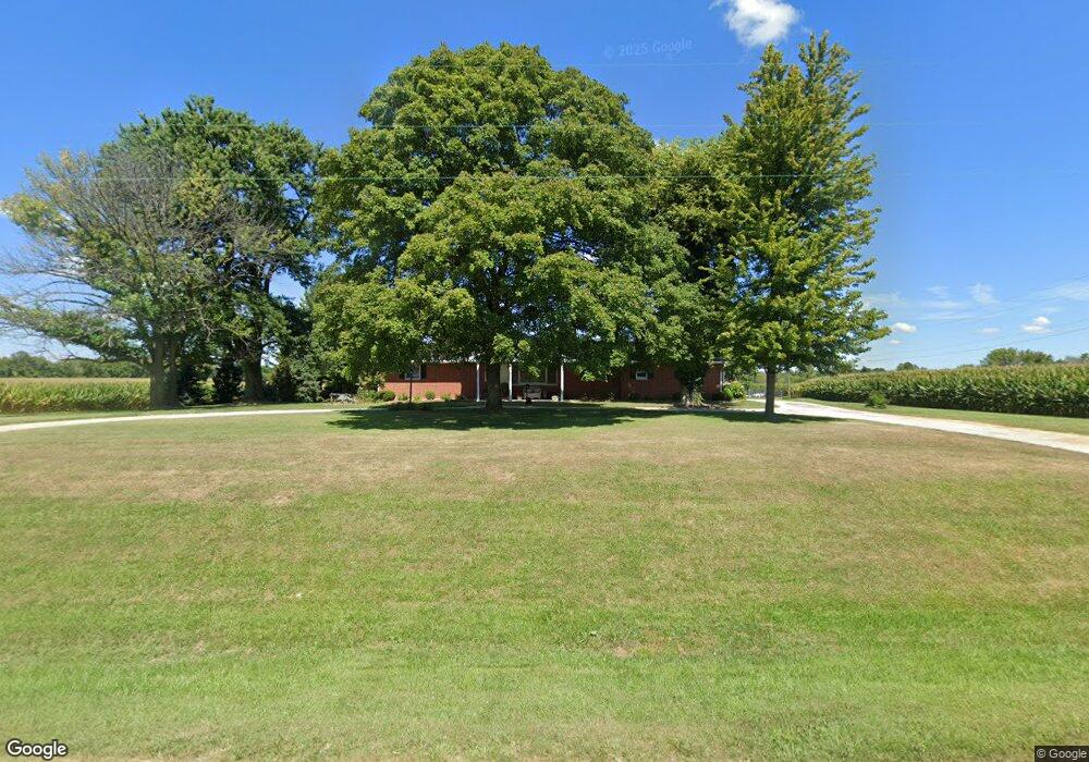
1295 State Highway 78 W Jacksonville, IL 62650
Estimated Value: $214,000 - $277,342
4
Beds
2
Baths
1,504
Sq Ft
$163/Sq Ft
Est. Value
About This Home
This home is located at 1295 State Highway 78 W, Jacksonville, IL 62650 and is currently estimated at $245,671, approximately $163 per square foot. 1295 State Highway 78 W is a home located in Morgan County with nearby schools including Jacksonville High School and Westfair Christian Academy.
Ownership History
Date
Name
Owned For
Owner Type
Purchase Details
Closed on
Sep 3, 2010
Sold by
Ware Teresa M
Bought by
Mccormick Anthonay L and Mccormick Kelley
Current Estimated Value
Home Financials for this Owner
Home Financials are based on the most recent Mortgage that was taken out on this home.
Original Mortgage
$117,600
Interest Rate
4.06%
Mortgage Type
New Conventional
Purchase Details
Closed on
May 26, 2010
Sold by
Hadden Dale B and Hadden Amy K
Bought by
Ware Teresa M
Purchase Details
Closed on
Dec 19, 2008
Sold by
Smith Darrell L and Tepen Jeanne A
Bought by
Hadden Dale B and Hadden Amy K
Home Financials for this Owner
Home Financials are based on the most recent Mortgage that was taken out on this home.
Original Mortgage
$84,741
Interest Rate
6.06%
Mortgage Type
Purchase Money Mortgage
Create a Home Valuation Report for This Property
The Home Valuation Report is an in-depth analysis detailing your home's value as well as a comparison with similar homes in the area
Home Values in the Area
Average Home Value in this Area
Purchase History
| Date | Buyer | Sale Price | Title Company |
|---|---|---|---|
| Mccormick Anthonay L | $147,000 | None Available | |
| Ware Teresa M | $150,000 | None Available | |
| Hadden Dale B | $119,630 | None Available | |
| Hadden Robert W | $173,950 | None Available |
Source: Public Records
Mortgage History
| Date | Status | Borrower | Loan Amount |
|---|---|---|---|
| Closed | Mccormick Anthonay L | $117,600 | |
| Previous Owner | Hadden Robert W | $84,741 |
Source: Public Records
Tax History Compared to Growth
Tax History
| Year | Tax Paid | Tax Assessment Tax Assessment Total Assessment is a certain percentage of the fair market value that is determined by local assessors to be the total taxable value of land and additions on the property. | Land | Improvement |
|---|---|---|---|---|
| 2024 | -- | $79,750 | $4,180 | $75,570 |
| 2023 | -- | $72,430 | $4,180 | $68,250 |
| 2022 | -- | $63,790 | $2,720 | $61,070 |
| 2021 | $0 | $59,610 | $2,720 | $56,890 |
| 2020 | $2,206 | $54,260 | $2,720 | $51,540 |
| 2019 | $2,206 | $49,820 | $2,770 | $47,050 |
| 2018 | $0 | $48,900 | $2,770 | $46,130 |
| 2017 | $0 | $47,560 | $2,770 | $44,790 |
| 2016 | $2,237 | $37,490 | $2,610 | $34,880 |
| 2015 | $2,206 | $36,050 | $2,510 | $33,540 |
| 2014 | $2,206 | $35,700 | $2,490 | $33,210 |
| 2013 | $2,108 | $35,700 | $2,490 | $33,210 |
Source: Public Records
Map
Nearby Homes
- 108 Nansarah Dr
- 304 Carobeth Cir
- 70 Applebee Farms Dr
- 22 Appomatox Ave
- 1492 Passavant Dr
- 33 Windrush Dr
- 1 Wadsworth Dr
- 8 Wadsworth Dr
- 610 Sandusky St
- 3 Ivywood Dr
- 8 Westfair Dr
- 307 Westwinds Dr
- 290 Finley St
- 1856 Plum St
- 1305 W Lafayette Ave
- 207 Mound Place
- 1924 Cedar St
- 231 N Webster Ave
- 840 W Walnut St
- 1 Jones Place
- 1293 Illinois 78
- 1293 State Highway 78 W
- 1299 State Highway 78 W
- 1285 State Highway 78 W
- 1587 Poor Farm Rd
- 1590 Poor Farm Rd
- 1594 Poor Farm Rd
- 1604 Poor Farm Rd
- 1599 Poor Farm Rd
- 1610 Poor Farm Rd
- 102 Nansarah Dr
- 106 Nansarah Dr
- 103 Nansarah Dr
- 204 Leland Lake Dr
- 202 Leland Lake Dr
- 208 Leland Lake Dr
- 107 Nansarah Dr
- 101 Nansarah Dr
- 210 Leland Lake Dr
- 104 James Ln