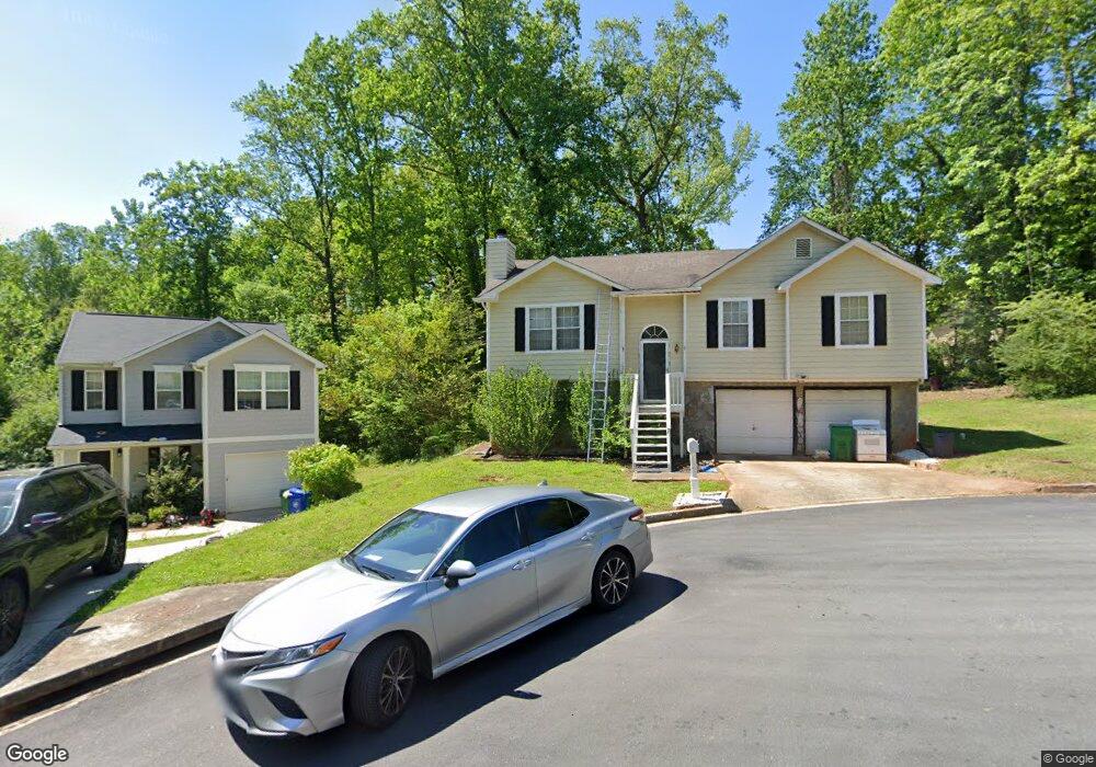
1295 To Lani Path Unit 3 Stone Mountain, GA 30083
Estimated Value: $246,000 - $292,000
3
Beds
3
Baths
1,850
Sq Ft
$143/Sq Ft
Est. Value
About This Home
This home is located at 1295 To Lani Path Unit 3, Stone Mountain, GA 30083 and is currently estimated at $264,521, approximately $142 per square foot. 1295 To Lani Path Unit 3 is a home located in DeKalb County with nearby schools including Allgood Elementary School, Freedom Middle School, and Clarkston High School.
Ownership History
Date
Name
Owned For
Owner Type
Purchase Details
Closed on
May 8, 2003
Sold by
Young Robert A
Bought by
Cook Charles
Current Estimated Value
Home Financials for this Owner
Home Financials are based on the most recent Mortgage that was taken out on this home.
Original Mortgage
$132,498
Outstanding Balance
$56,670
Interest Rate
5.81%
Mortgage Type
VA
Estimated Equity
$207,851
Purchase Details
Closed on
Aug 2, 1996
Sold by
Pinnacle Const Co
Bought by
Young Robert A
Create a Home Valuation Report for This Property
The Home Valuation Report is an in-depth analysis detailing your home's value as well as a comparison with similar homes in the area
Home Values in the Area
Average Home Value in this Area
Purchase History
| Date | Buyer | Sale Price | Title Company |
|---|---|---|---|
| Cook Charles | $129,900 | -- | |
| Young Robert A | $89,900 | -- |
Source: Public Records
Mortgage History
| Date | Status | Borrower | Loan Amount |
|---|---|---|---|
| Open | Cook Charles | $132,498 | |
| Closed | Young Robert A | $0 |
Source: Public Records
Tax History Compared to Growth
Tax History
| Year | Tax Paid | Tax Assessment Tax Assessment Total Assessment is a certain percentage of the fair market value that is determined by local assessors to be the total taxable value of land and additions on the property. | Land | Improvement |
|---|---|---|---|---|
| 2025 | $3,084 | $110,840 | $12,000 | $98,840 |
| 2024 | $3,148 | $110,480 | $12,000 | $98,480 |
| 2023 | $3,148 | $111,600 | $12,000 | $99,600 |
| 2022 | $2,611 | $90,080 | $10,000 | $80,080 |
| 2021 | $2,029 | $64,840 | $4,240 | $60,600 |
| 2020 | $1,998 | $63,280 | $4,240 | $59,040 |
| 2019 | $1,790 | $55,080 | $4,240 | $50,840 |
| 2018 | $1,354 | $52,880 | $4,240 | $48,640 |
| 2017 | $1,352 | $40,720 | $4,240 | $36,480 |
| 2016 | $1,132 | $35,280 | $4,240 | $31,040 |
| 2014 | $1,022 | $32,080 | $4,240 | $27,840 |
Source: Public Records
Map
Nearby Homes
- 1363 To Lani Farm Rd
- 1374 To Lani Farm Rd
- 1248 To Lani Ct
- 1188 To Lani Path
- 1219 To Lani Dr
- 1276 To Lani Farm Rd
- 1214 Mannbrook Dr
- 1381 High Meadow Dr
- 4594 Bexley Dr
- 4412 Rustic Wood Dr
- 1239 Sharonton Dr
- 1215 Sharonton Dr
- 4467 Thornwood Crescent
- 1215 Sheppard Place
- 4442 Mercer Rd
- 4641 Wendover Dr Unit 1
- 4605 Mercer Rd
- 1376 Colony East Cir
- 4433 Mercer Rd
- 1104 To Lani Farm Rd
- 1279 To Lani Ct
- 1287 To Lani Path Unit 3
- 1281 To Lani Ct Unit 3
- 1285 To Lani Ct
- 1277 To Lani Ct
- 1299 To Lani Path
- 1299 To Lani Path Unit 49
- 1289 To Lani Ct
- 1292 To Lani Path
- 1288 To Lani Path Unit 3
- 1275 To Lani Ct Unit 3
- 1284 To Lani Path
- 1157 To Lani Path Unit 22
- 1151 To Lani Path Unit 23
- 1151 To Lani Path
- 1282 To Lani Ct Unit 4
- 1282 To Lani Ct
- 1273 To Lani Ct Unit 75
- 1273 To Lani Ct
- 1280 To Lani Path