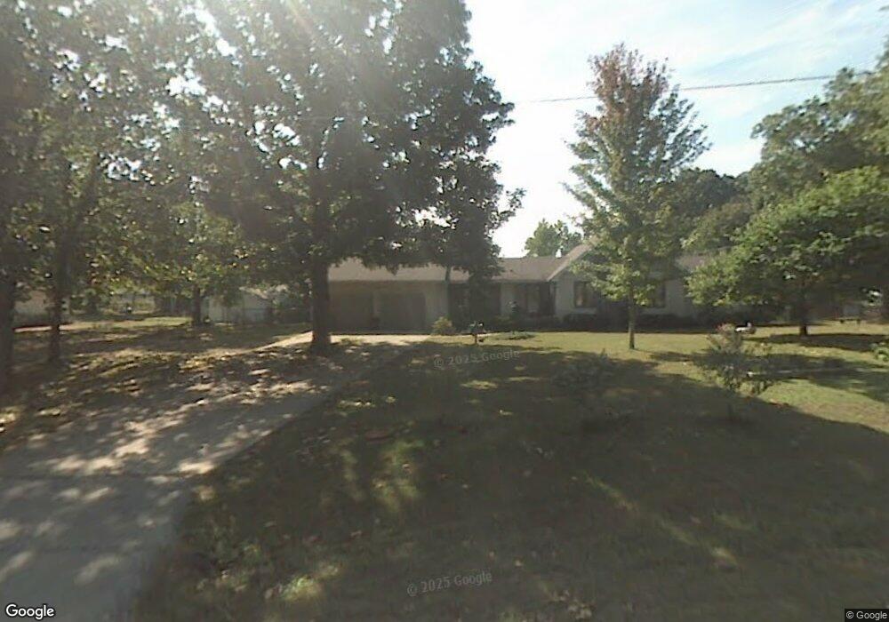
12950 Highway Ad Cabool, MO 65689
Estimated Value: $178,000 - $222,000
4
Beds
--
Bath
1,696
Sq Ft
$118/Sq Ft
Est. Value
About This Home
This home is located at 12950 Highway Ad, Cabool, MO 65689 and is currently estimated at $199,903, approximately $117 per square foot. 12950 Highway Ad is a home with nearby schools including Cabool Elementary School, Cabool Middle School, and Cabool High School.
Ownership History
Date
Name
Owned For
Owner Type
Purchase Details
Closed on
May 12, 2021
Sold by
Watson Shaun Edward and Watson Kimberly
Bought by
Luerssen Jared and Luerssen Maggie
Current Estimated Value
Home Financials for this Owner
Home Financials are based on the most recent Mortgage that was taken out on this home.
Original Mortgage
$135,000
Outstanding Balance
$112,395
Interest Rate
3.1%
Mortgage Type
Future Advance Clause Open End Mortgage
Estimated Equity
$87,508
Purchase Details
Closed on
Apr 28, 2006
Sold by
Carder Kimberly and Watson Shaun
Bought by
Watson Shaun and Watson Kimberly
Create a Home Valuation Report for This Property
The Home Valuation Report is an in-depth analysis detailing your home's value as well as a comparison with similar homes in the area
Home Values in the Area
Average Home Value in this Area
Purchase History
| Date | Buyer | Sale Price | Title Company |
|---|---|---|---|
| Luerssen Jared | -- | None Available | |
| Watson Shaun | -- | None Available |
Source: Public Records
Mortgage History
| Date | Status | Borrower | Loan Amount |
|---|---|---|---|
| Open | Luerssen Jared | $135,000 |
Source: Public Records
Tax History Compared to Growth
Tax History
| Year | Tax Paid | Tax Assessment Tax Assessment Total Assessment is a certain percentage of the fair market value that is determined by local assessors to be the total taxable value of land and additions on the property. | Land | Improvement |
|---|---|---|---|---|
| 2024 | $1,194 | $23,600 | $0 | $0 |
| 2023 | $1,202 | $23,600 | $0 | $0 |
| 2022 | $1,107 | $21,830 | $0 | $0 |
| 2021 | $1,053 | $21,830 | $0 | $0 |
| 2020 | $1,053 | $21,520 | $0 | $0 |
| 2019 | $1,053 | $21,520 | $0 | $0 |
| 2018 | $930 | $19,480 | $0 | $0 |
| 2017 | $926 | $19,480 | $0 | $0 |
| 2016 | $804 | $16,800 | $0 | $0 |
| 2015 | -- | $16,800 | $0 | $0 |
| 2014 | -- | $16,800 | $0 | $0 |
| 2013 | -- | $16,800 | $0 | $0 |
Source: Public Records
Map
Nearby Homes
- 12305 M- Ad Hwy
- 12305 Ad Hwy
- 2730 Ozark Ave
- 2479 Highway M
- Tbd Highway M
- 1632 Cessna Rd
- 2416 Barton Ln
- 1002 Ozark Ave
- Tract 19a Pine Ridge Ln
- 701 Garst St
- 000 Tbd Pine Ridge Ln Ln
- 519 Hickory Ave
- 928 Patton Ave
- 1035 Patton Ave
- 000 Montgomery St
- 316 Summit Ave
- 718 Ozark St
- 000 Highway 181
- 611 Cedar Ave
- 720 Second St
- 12711 Highway Ad
- 12711 M- Highway Ad
- 12401 Highway Ad
- 12415 Highway Ad
- 12397 Ad Hwy
- 12426 Highway Ad
- 1646 Onyx Cave Rd
- 12397 M- Highway Ad
- 12305 Highway Ad
- 12344 Highway Ad
- 12305 M- Highway Ad
- 12305 State Highway Ad
- 12848 Highway Ad
- 12843 Raven Dr
- 12628 Raven Dr
- 12847 Raven Dr
- 12542 Highway Ad
- Tbd Industrial Park
- 0 Industrial Park