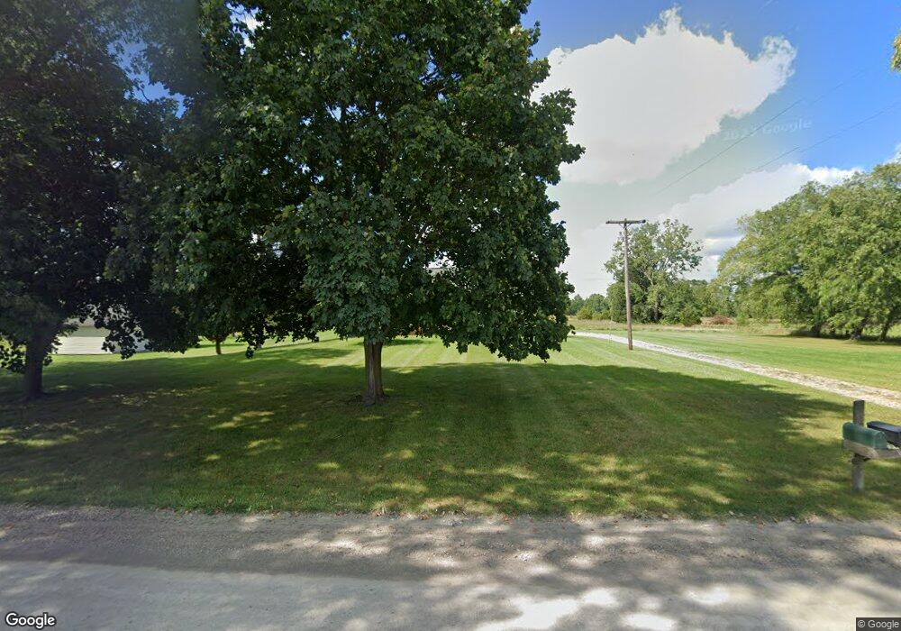
12950 N Miller Hwy Brooklyn, MI 49230
Estimated Value: $205,701 - $365,000
3
Beds
2
Baths
1,680
Sq Ft
$173/Sq Ft
Est. Value
About This Home
This home is located at 12950 N Miller Hwy, Brooklyn, MI 49230 and is currently estimated at $290,567, approximately $172 per square foot. 12950 N Miller Hwy is a home located in Lenawee County with nearby schools including Columbia Lower Elementary School, Columbia Upper Elementary School, and Columbia Central Jr./Sr. High School.
Ownership History
Date
Name
Owned For
Owner Type
Purchase Details
Closed on
Jun 12, 2013
Sold by
Singer Robert E and Singer Billie C
Bought by
Singer Robert Edward and Singer Billie C
Current Estimated Value
Home Financials for this Owner
Home Financials are based on the most recent Mortgage that was taken out on this home.
Original Mortgage
$70,500
Outstanding Balance
$15,696
Interest Rate
3.34%
Mortgage Type
New Conventional
Estimated Equity
$274,871
Purchase Details
Closed on
Oct 3, 1990
Bought by
Singer Robert Edward and Singer Bille C
Create a Home Valuation Report for This Property
The Home Valuation Report is an in-depth analysis detailing your home's value as well as a comparison with similar homes in the area
Home Values in the Area
Average Home Value in this Area
Purchase History
| Date | Buyer | Sale Price | Title Company |
|---|---|---|---|
| Singer Robert Edward | -- | Prestige Title Ins Agency L | |
| Singer Robert Edward | $83,000 | -- |
Source: Public Records
Mortgage History
| Date | Status | Borrower | Loan Amount |
|---|---|---|---|
| Open | Singer Robert Edward | $70,500 |
Source: Public Records
Tax History Compared to Growth
Tax History
| Year | Tax Paid | Tax Assessment Tax Assessment Total Assessment is a certain percentage of the fair market value that is determined by local assessors to be the total taxable value of land and additions on the property. | Land | Improvement |
|---|---|---|---|---|
| 2025 | $1,905 | $81,000 | $0 | $0 |
| 2024 | $1,045 | $77,600 | $0 | $0 |
| 2023 | -- | $69,700 | $0 | $0 |
| 2022 | $1,366 | $59,500 | $0 | $0 |
| 2021 | $1,344 | $56,800 | $0 | $0 |
| 2020 | $1,306 | $48,000 | $0 | $0 |
| 2019 | $205,957 | $48,000 | $0 | $0 |
| 2018 | $1,921 | $56,610 | $0 | $0 |
| 2017 | $1,851 | $56,986 | $0 | $0 |
| 2016 | $1,836 | $55,987 | $0 | $0 |
| 2014 | -- | $125,675 | $0 | $0 |
Source: Public Records
Map
Nearby Homes
- 1268 Maple Ln
- 6977 Cement City Rd
- 12999 U S 12
- 15255 Wheaton Rd
- 99 Nottingham Dr
- 7943 Cement City Rd
- 0 Lot 44 & 45 Wilkshire Dr Unit 25044305
- 227 Riviera Dr
- 6416 Kelley Rd
- 215 Nottingham Dr
- 200 Barbara Dr
- VL Kirkley Dr
- 12938 Kelley Rd
- 00 Ambler Dr
- 207 Ambler Dr
- 104 High View Ct
- 320 Nottingham Dr
- 123 Carlysle Dr
- VL Carlysle Dr
- 000 Hewitt Rd
- 12951 N Miller Hwy
- 12978 N Miller Hwy
- 12986 N Miller Hwy
- 0 Dearmyer Unit 1064168
- 0 Dearmyer Unit 20003804
- 0 Dearmyer Unit R218107568
- 0 Dearmyer Unit 21045909
- 14000 County Line Rd Blk Rd
- 12901 Dearmyer Rd
- 13980 Taylor Rd
- 13939 County Line Rd
- 13901 County Line Rd
- parcel H Taylor Rd
- 12753 N Miller Hwy
- 12724 N Miller Hwy
- 13825 County Line Rd
- 13801 County Line Rd
- 12750 N Miller Hwy
- 13810 Taylor Rd
- 12986 N Miller Hwy
