12958 E Adam Aircraft Cir Unit D38 Englewood, CO 80112
Estimated Value: $286,696
--
Bed
--
Bath
474
Sq Ft
$605/Sq Ft
Est. Value
About This Home
This home is located at 12958 E Adam Aircraft Cir Unit D38, Englewood, CO 80112 and is currently estimated at $286,696, approximately $604 per square foot. 12958 E Adam Aircraft Cir Unit D38 is a home located in Arapahoe County with nearby schools including Red Hawk Ridge Elementary School, Liberty Middle School, and Grandview High School.
Ownership History
Date
Name
Owned For
Owner Type
Purchase Details
Closed on
Aug 20, 2024
Sold by
Way Holdings Llc
Bought by
Bash John Michael and Bash Mary Ann
Current Estimated Value
Purchase Details
Closed on
Jul 11, 2012
Sold by
Kelley Don
Bought by
Way Holdings Llc
Home Financials for this Owner
Home Financials are based on the most recent Mortgage that was taken out on this home.
Original Mortgage
$90,000
Interest Rate
6%
Mortgage Type
Seller Take Back
Purchase Details
Closed on
Nov 23, 2010
Sold by
Mingle Michael G
Bought by
Kelley Don
Purchase Details
Closed on
Sep 18, 2007
Sold by
Toy Storage Llc
Bought by
Mingle Michael G
Create a Home Valuation Report for This Property
The Home Valuation Report is an in-depth analysis detailing your home's value as well as a comparison with similar homes in the area
Home Values in the Area
Average Home Value in this Area
Purchase History
| Date | Buyer | Sale Price | Title Company |
|---|---|---|---|
| Bash John Michael | $286,000 | Land Title Guarantee | |
| Way Holdings Llc | $100,000 | Empire Title Co Springs Llc | |
| Kelley Don | $70,000 | Fidelity National Title Insu | |
| Mingle Michael G | $76,500 | Security Title |
Source: Public Records
Mortgage History
| Date | Status | Borrower | Loan Amount |
|---|---|---|---|
| Previous Owner | Way Holdings Llc | $90,000 |
Source: Public Records
Tax History Compared to Growth
Tax History
| Year | Tax Paid | Tax Assessment Tax Assessment Total Assessment is a certain percentage of the fair market value that is determined by local assessors to be the total taxable value of land and additions on the property. | Land | Improvement |
|---|---|---|---|---|
| 2024 | $1,562 | $14,773 | -- | -- |
| 2023 | $1,562 | $14,773 | $0 | $0 |
| 2022 | $2,337 | $20,619 | $0 | $0 |
| 2021 | $2,297 | $20,619 | $0 | $0 |
| 2020 | $2,132 | $18,282 | $0 | $0 |
| 2019 | $2,071 | $18,282 | $0 | $0 |
| 2018 | $1,932 | $15,808 | $0 | $0 |
| 2017 | $1,917 | $15,808 | $0 | $0 |
| 2016 | $1,891 | $14,434 | $0 | $0 |
| 2015 | $1,855 | $14,434 | $0 | $0 |
| 2014 | $1,916 | $13,630 | $0 | $0 |
| 2013 | -- | $13,050 | $0 | $0 |
Source: Public Records
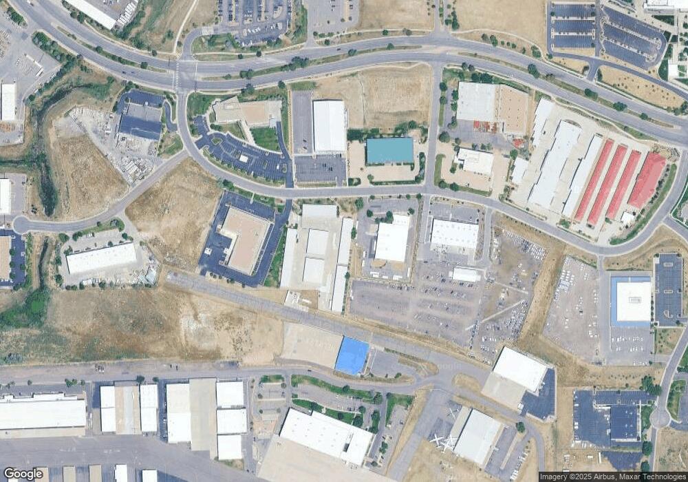
Map
Nearby Homes
- 7222 S Blackhawk St Unit 105
- 7212 S Blackhawk St Unit 1203
- 7440 S Blackhawk St Unit 4-305
- 7440 S Blackhawk St Unit 15-103
- 7440 S Blackhawk St Unit 9204
- 7440 S Blackhawk St Unit 14-202
- 7440 S Blackhawk St Unit 2-104
- 7440 S Blackhawk St Unit 14-103
- 11006 E Geddes Place
- Prentice Elite Plan at Heights at DTC
- Prentice Plan at Heights at DTC
- Larimer Elite Plan at Heights at DTC
- Champa Elite Plan at Heights at DTC
- Champa Plan at Heights at DTC
- Larimer Plan at Heights at DTC
- 10880 E Hinsdale Cir
- 10886 E Hinsdale Cir
- 11012 E Geddes Place
- 10898 E Hinsdale Cir
- 10904 E Hinsdale Cir
- 12958 E Adam Aircraft Cir Unit F58
- 12958 E Adam Aircraft Cir
- 12958 E Adam Aircraft Cir Unit D38 & D40
- 12958 E Adam Aircraft Cir Unit F60
- 12958 E Adam Aircraft Cir Unit A1
- 12958 E Adam Aircraft Cir Unit F56
- 12958 E Adam Aircraft Cir Unit C24
- 12958 E Adam Aircraft Cir Unit A5
- 12958 E Adam Aircraft Cir Unit E Unit E52
- 12958 E Adam Aircraft Cir Unit E47
- 12958 E Adam Aircraft Cir Unit C30
- 12958 E Adam Aircraft Cir Unit E55
- 12656 E Jamison Place Unit 6 & 7
- 13303 E Adam Aircraft Cir Unit C39
- 13303 E Adam Aircraft Cir Unit 7
- 13303 E Adam Aircraft Cir Unit 6
- 13303 E Adam Aircraft Cir Unit 33
- 13303 E Adam Aircraft Cir Unit 44
- 13303 E Adam Aircraft Cir Unit C46
- 13303 E Adam Aircraft Cir Unit 32