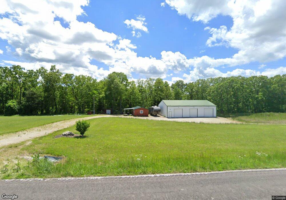
1296 Highway E Hermann, MO 65041
Estimated Value: $179,000 - $193,000
1
Bed
1
Bath
608
Sq Ft
$309/Sq Ft
Est. Value
About This Home
This home is located at 1296 Highway E, Hermann, MO 65041 and is currently estimated at $187,685, approximately $308 per square foot. 1296 Highway E is a home located in Gasconade County with nearby schools including Hermann Elementary School, Hermann Middle School, and Hermann High School.
Ownership History
Date
Name
Owned For
Owner Type
Purchase Details
Closed on
Nov 24, 2025
Sold by
Whitcraft Elliot and Whitcraft Kayla
Bought by
Winkle Michael Shane
Current Estimated Value
Home Financials for this Owner
Home Financials are based on the most recent Mortgage that was taken out on this home.
Original Mortgage
$261,250
Outstanding Balance
$260,755
Interest Rate
6.27%
Mortgage Type
New Conventional
Estimated Equity
-$73,070
Purchase Details
Closed on
Mar 19, 2021
Sold by
Elliott Robin and Huhmann Howard
Bought by
Walton Michael and Walton Chand
Purchase Details
Closed on
Apr 25, 2008
Sold by
Wilshire Gary D and Wilshire Lorna L
Bought by
Lester John D and Lester Cheri L
Home Financials for this Owner
Home Financials are based on the most recent Mortgage that was taken out on this home.
Original Mortgage
$104,240
Interest Rate
5.86%
Create a Home Valuation Report for This Property
The Home Valuation Report is an in-depth analysis detailing your home's value as well as a comparison with similar homes in the area
Purchase History
| Date | Buyer | Sale Price | Title Company |
|---|---|---|---|
| Winkle Michael Shane | -- | None Listed On Document | |
| Walton Michael | -- | None Available | |
| Lester John D | -- | -- |
Source: Public Records
Mortgage History
| Date | Status | Borrower | Loan Amount |
|---|---|---|---|
| Open | Winkle Michael Shane | $261,250 | |
| Previous Owner | Lester John D | $104,240 |
Source: Public Records
Tax History
| Year | Tax Paid | Tax Assessment Tax Assessment Total Assessment is a certain percentage of the fair market value that is determined by local assessors to be the total taxable value of land and additions on the property. | Land | Improvement |
|---|---|---|---|---|
| 2025 | $840 | $13,150 | $0 | $0 |
| 2024 | $785 | $11,970 | $0 | $0 |
| 2023 | $782 | $12,070 | $0 | $0 |
| 2022 | $782 | $12,070 | $0 | $0 |
| 2021 | $784 | $12,061 | $3,792 | $8,269 |
| 2020 | $748 | $10,920 | $0 | $0 |
| 2019 | $748 | $10,920 | $0 | $0 |
| 2018 | $718 | $10,920 | $0 | $0 |
| 2017 | $0 | $10,890 | $0 | $0 |
| 2016 | $660 | $10,920 | $0 | $0 |
| 2015 | -- | $10,920 | $0 | $0 |
| 2014 | -- | $0 | $0 | $0 |
| 2013 | -- | $0 | $0 | $0 |
Source: Public Records
Map
Nearby Homes
- 1483 Cedar Ridge Dr
- 1477 Old Iron Rd
- 4444 Horstman Rd
- 209 Epple Fricke Dr
- 1681 Spreckelmeyer Rd
- 1845 Eagle Nest Dr
- 18445 Eagles Nest Dr
- 1402 Gutenberg St
- 0 E 12th St Unit Lot 4 MAR25016068
- 128 E 11th St
- 28 Acres Highway 100
- Lots 58 & 60 E 9th St
- 1003 Jefferson St
- 421 W 9th St
- 524 W 8th St
- 606 Washington St
- 413 Schiller St
- 217 W 6th St
- 409 Schiller St
- 419 W 7th St
- 1296 Highway E
- 1296 Highway E
- 2178 Catholic Church Rd
- 1620 Liske Rd
- 1628 Liske Rd
- 2146 Catholic Church Rd
- 69Acres Liske Rd
- 2142 Catholic Church Rd
- 1652 Liske Rd
- 2119 Catholic Church Rd
- 2169 Catholic Church Rd
- 1553 Liske Rd
- 2228 Little Berger Rd
- 2080 Catholic Church Rd
- 1710 Liske Rd
- 1716 Liske Rd
- 1718 Liske Rd
Your Personal Tour Guide
Ask me questions while you tour the home.