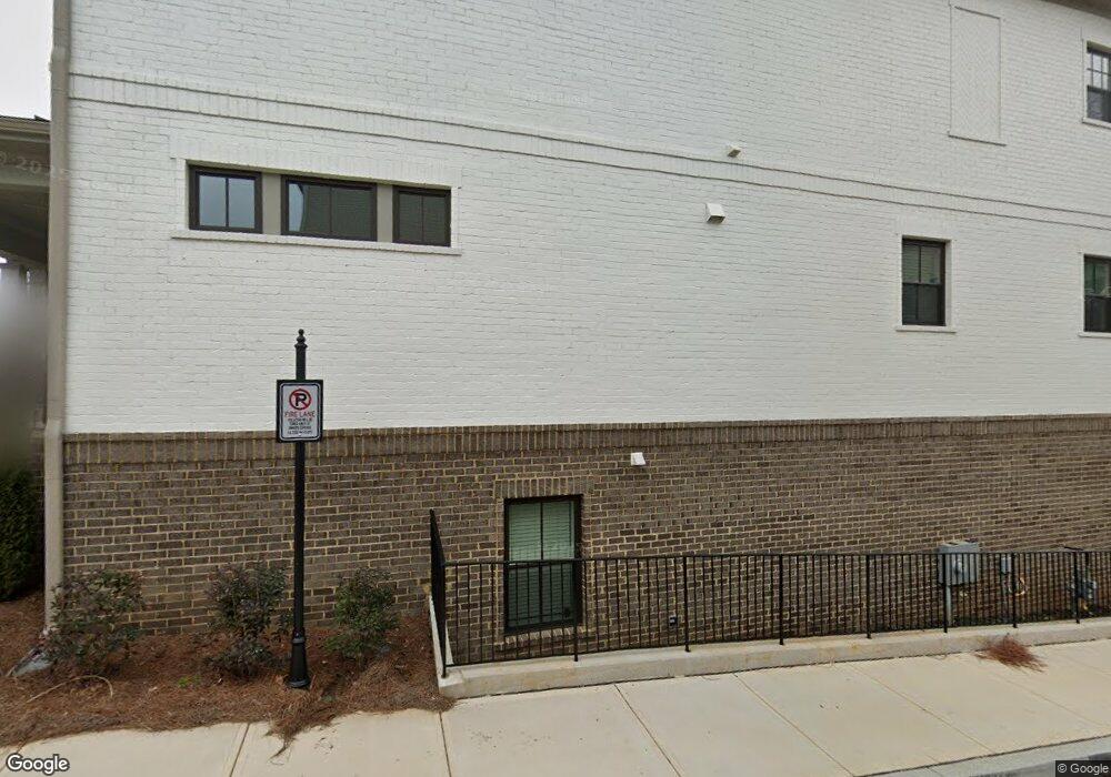
1296 Kendrick Rd NE Atlanta, GA 30319
Peachtree Corridor NeighborhoodEstimated Value: $1,013,333
1
Bed
1
Bath
837
Sq Ft
$1,211/Sq Ft
Est. Value
About This Home
This home is located at 1296 Kendrick Rd NE, Atlanta, GA 30319 and is currently priced at $1,013,333, approximately $1,210 per square foot. 1296 Kendrick Rd NE is a home located in DeKalb County with nearby schools including Dekalb Path Academy Charter School, Chamblee Charter High School, and St Martins Episcopal School.
Ownership History
Date
Name
Owned For
Owner Type
Purchase Details
Closed on
Oct 31, 2018
Sold by
Kick Project Enterprise Llc
Bought by
Mh Kendrick Llc
Current Estimated Value
Purchase Details
Closed on
Oct 27, 2017
Sold by
Atlanta Resoure Ents
Bought by
Kick Project Enterprise Llc
Purchase Details
Closed on
Feb 14, 2003
Sold by
Kick Mark L and Kick Soodi L
Bought by
Atlanta Resource Enterprises Lpo
Purchase Details
Closed on
Sep 26, 1997
Sold by
Mcevoy Peter J and Mcevoy Jane N
Bought by
Kick Mark L and Kick Soodi L
Create a Home Valuation Report for This Property
The Home Valuation Report is an in-depth analysis detailing your home's value as well as a comparison with similar homes in the area
Home Values in the Area
Average Home Value in this Area
Purchase History
| Date | Buyer | Sale Price | Title Company |
|---|---|---|---|
| Mh Kendrick Llc | $952,000 | -- | |
| Kick Project Enterprise Llc | -- | -- | |
| Atlanta Resource Enterprises Lpo | -- | -- | |
| Kick Mark L | $150,000 | -- |
Source: Public Records
Mortgage History
| Date | Status | Borrower | Loan Amount |
|---|---|---|---|
| Closed | Kick Mark L | -- |
Source: Public Records
Tax History Compared to Growth
Tax History
| Year | Tax Paid | Tax Assessment Tax Assessment Total Assessment is a certain percentage of the fair market value that is determined by local assessors to be the total taxable value of land and additions on the property. | Land | Improvement |
|---|---|---|---|---|
| 2022 | $0 | $0 | $0 | $0 |
| 2021 | $4,589 | $109,880 | $99,991 | $9,889 |
| 2020 | $4,762 | $109,880 | $99,991 | $9,889 |
| 2019 | $4,215 | $113,200 | $100,000 | $13,200 |
| 2018 | $3,502 | $95,479 | $60,152 | $35,327 |
| 2017 | $4,140 | $95,480 | $60,152 | $35,328 |
| 2016 | $4,078 | $95,480 | $59,800 | $35,680 |
| 2014 | $2,784 | $59,320 | $52,795 | $6,525 |
Source: Public Records
Map
Nearby Homes
- 1307 Markham Rd
- 2641 Mackintosh Ct
- 1232 Brookhaven Park Place NE
- 2655 Mackintosh Ct Unit 13
- 2636 Mackintosh Ct Unit 15
- 2632 Mackintosh Ct Unit 16
- 2861 Dorby Close NE
- 1169 Dorby Park Dr NE
- 1153 Brookhaven Commons Dr NE
- 2643 Caldwell Rd NE
- 1333 Dover Cir NE
- 2926 Hermance Dr NE
- 1324 Sunland Dr NE
- 2690 Valvedere Dr NE
- 2628 Dogwood Terrace NE
- 2595 Apple Valley Rd
- 2591 Apple Valley Rd
- 1172 Daventry Way NE
- 2882 Mitchell Cove NE
- 2570 Oglethorpe Cir NE
- 1304 Markham Rd
- 1288 Markham Rd
- 1306 Markham Rd
- 1308 Markham Rd
- 1302 Kendrick Rd NE
- 1297 Markham Rd
- 1310 Markham Rd
- 1286 Kendrick Rd NE
- 1294 Markham Rd
- 1312 Markham Rd
- 1299 Markham Rd
- 1305 Markham Rd
- 1304 Kendrick Rd NE
- 1292 Markham Rd
- 1293 Markham Rd
- 1295 Markham Rd
- 1276 Kendrick Rd NE
- 1276 Kendrick Rd NE
- 2771 Tallulah Dr NE
- 1299 Kendrick Rd NE