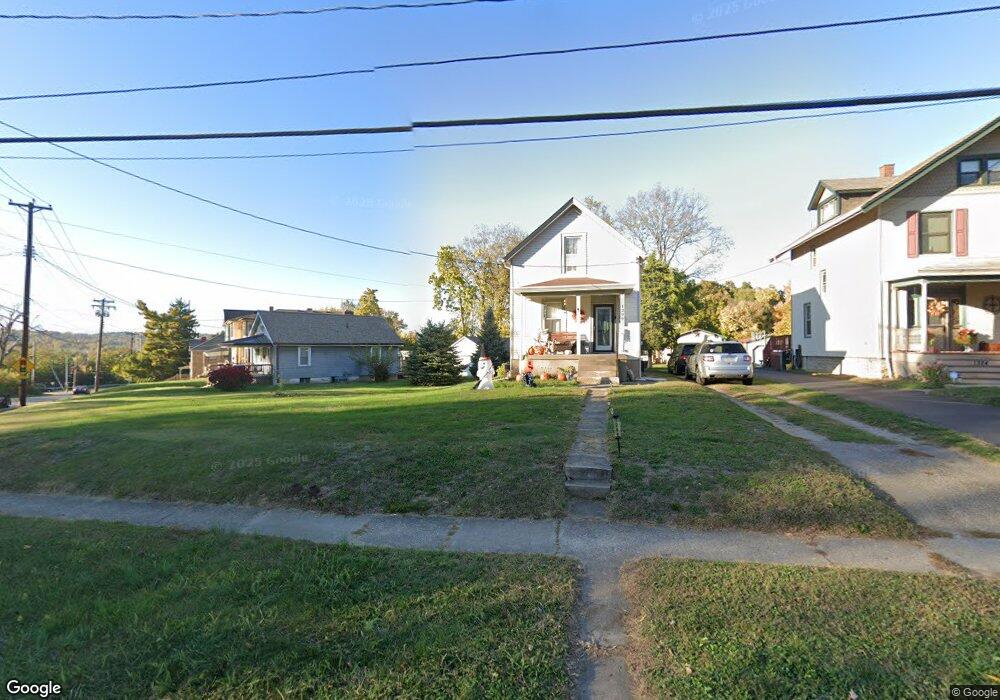
1296 Section Rd Cincinnati, OH 45237
Roselawn NeighborhoodEstimated Value: $130,000 - $176,000
2
Beds
1
Bath
1,064
Sq Ft
$138/Sq Ft
Est. Value
About This Home
This home is located at 1296 Section Rd, Cincinnati, OH 45237 and is currently estimated at $146,968, approximately $138 per square foot. 1296 Section Rd is a home located in Hamilton County with nearby schools including Roselawn Condon School, Shroder High School, and Clark Montessori High School.
Ownership History
Date
Name
Owned For
Owner Type
Purchase Details
Closed on
Jul 1, 2024
Sold by
Meyers Pamela and Meyers David
Bought by
Meyers Pamela and Meyers David
Current Estimated Value
Purchase Details
Closed on
Feb 17, 1997
Sold by
Clendenen Eleanor J
Bought by
Vail Donald Charles
Create a Home Valuation Report for This Property
The Home Valuation Report is an in-depth analysis detailing your home's value as well as a comparison with similar homes in the area
Home Values in the Area
Average Home Value in this Area
Purchase History
| Date | Buyer | Sale Price | Title Company |
|---|---|---|---|
| Meyers Pamela | -- | None Listed On Document | |
| Vail Donald Charles | -- | -- |
Source: Public Records
Tax History
| Year | Tax Paid | Tax Assessment Tax Assessment Total Assessment is a certain percentage of the fair market value that is determined by local assessors to be the total taxable value of land and additions on the property. | Land | Improvement |
|---|---|---|---|---|
| 2025 | $2,238 | $32,579 | $7,515 | $25,064 |
| 2023 | $1,566 | $33,566 | $8,502 | $25,064 |
| 2022 | $745 | $18,274 | $6,899 | $11,375 |
| 2021 | $713 | $18,274 | $6,899 | $11,375 |
| 2020 | $742 | $18,274 | $6,899 | $11,375 |
| 2019 | $556 | $15,484 | $5,845 | $9,639 |
| 2018 | $557 | $15,484 | $5,845 | $9,639 |
| 2017 | $524 | $15,484 | $5,845 | $9,639 |
| 2016 | $833 | $19,279 | $7,067 | $12,212 |
| 2015 | $771 | $19,279 | $7,067 | $12,212 |
| 2014 | $777 | $19,279 | $7,067 | $12,212 |
| 2013 | $853 | $20,294 | $7,438 | $12,856 |
Source: Public Records
Map
Nearby Homes
- 1519 Section Rd
- 1501 Summit Rd
- 1522 Kenova Ave
- 1622 Shenandoah Ave
- 1535 Kenova Ave
- 8081 Woodbine Ave
- 3 W 73rd St
- 7123 Fairpark Ave
- 7833 Dawn Rd
- 120 W Seventy Second St
- 7119 Eastlawn Dr
- 29 Hartwell Ct
- 1808 Crest Hill Ave
- 206 W 69th St
- 6770 Elbrook Ave
- 6750 Elbrook Ave
- 1 Spruce St
- 2063 E Seymour Ave
- 8338 Anthony Wayne Ave
- 62 Ferndale Ave
- 1284 Section Rd
- 1324 Section Rd
- 1280 Section Rd
- 1280 Section Rd Unit 1
- 1280 Section Rd Unit 2
- 1326 Section Rd
- 1272 Section Rd
- 1330 Section Rd
- 1341 Woodland Ave
- 1335 Woodland Ave
- 1297 Section Rd
- 1338 Section Rd
- 1327 Woodland Ave
- 1307 Section Rd
- 1319 Section Rd
- 1313 Section Rd
- 1325 Section Rd
- 1266 Section Rd
- 1323 Woodland Ave
- 1331 Section Rd
Your Personal Tour Guide
Ask me questions while you tour the home.