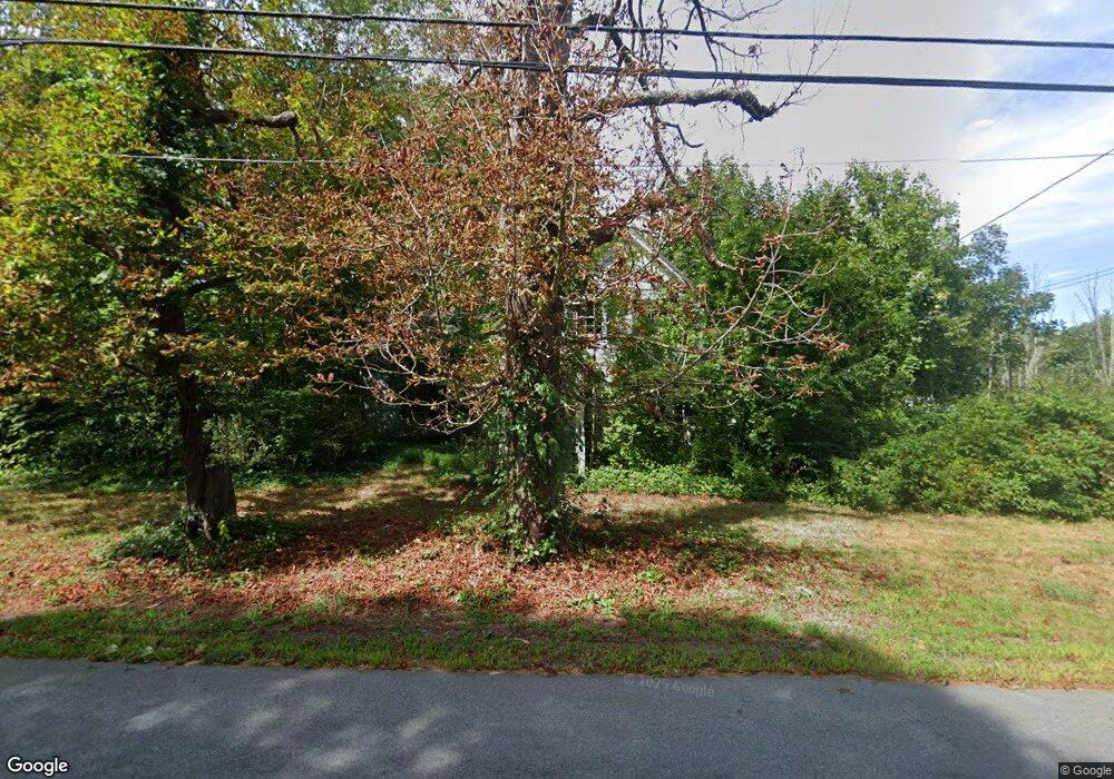
1296 Williams St Dighton, MA 02715
Estimated Value: $885,000 - $1,150,399
5
Beds
3
Baths
4,428
Sq Ft
$235/Sq Ft
Est. Value
About This Home
This home is located at 1296 Williams St, Dighton, MA 02715 and is currently estimated at $1,042,466, approximately $235 per square foot. 1296 Williams St is a home located in Bristol County with nearby schools including Dighton-Rehoboth Regional High School.
Ownership History
Date
Name
Owned For
Owner Type
Purchase Details
Closed on
Jun 25, 2002
Sold by
Lewis Richard M and Lewis Edith D
Bought by
Banks Thomas Sinclair and Banks Jeanine L
Current Estimated Value
Home Financials for this Owner
Home Financials are based on the most recent Mortgage that was taken out on this home.
Original Mortgage
$108,000
Interest Rate
6.81%
Mortgage Type
Purchase Money Mortgage
Create a Home Valuation Report for This Property
The Home Valuation Report is an in-depth analysis detailing your home's value as well as a comparison with similar homes in the area
Home Values in the Area
Average Home Value in this Area
Purchase History
| Date | Buyer | Sale Price | Title Company |
|---|---|---|---|
| Banks Thomas Sinclair | $169,900 | -- |
Source: Public Records
Mortgage History
| Date | Status | Borrower | Loan Amount |
|---|---|---|---|
| Open | Banks Thomas Sinclair | $332,500 | |
| Closed | Banks Thomas Sinclair | $336,600 | |
| Closed | Banks Thomas Sinclair | $108,000 | |
| Previous Owner | Banks Thomas Sinclair | $85,000 |
Source: Public Records
Tax History Compared to Growth
Tax History
| Year | Tax Paid | Tax Assessment Tax Assessment Total Assessment is a certain percentage of the fair market value that is determined by local assessors to be the total taxable value of land and additions on the property. | Land | Improvement |
|---|---|---|---|---|
| 2025 | $13,324 | $1,060,800 | $245,100 | $815,700 |
| 2024 | $12,531 | $916,000 | $203,300 | $712,700 |
| 2023 | $11,602 | $832,300 | $203,300 | $629,000 |
| 2022 | $11,102 | $776,900 | $199,800 | $577,100 |
| 2021 | $10,626 | $716,500 | $187,200 | $529,300 |
| 2020 | $10,526 | $702,700 | $201,200 | $501,500 |
| 2019 | $10,312 | $687,900 | $201,200 | $486,700 |
| 2018 | $16,981 | $625,200 | $181,100 | $444,100 |
| 2017 | $8,837 | $591,500 | $199,400 | $392,100 |
| 2016 | $8,744 | $574,100 | $203,300 | $370,800 |
| 2015 | $7,427 | $501,800 | $155,000 | $346,800 |
| 2014 | $7,324 | $480,900 | $155,000 | $325,900 |
Source: Public Records
Map
Nearby Homes
- 21 Silvia Way
- 16 Silvia Way
- 0 Monteiro Unit 71870472
- 1240 Smith St
- 1355 Pine St
- 6 Waterford Cir
- 3 Waterford Cir
- 2043 Wellington St
- 1565 Maple St
- 593 Williams St
- 7 Maris Ln
- 1401 Tremont St
- 1680 Maple St
- 1421 Tremont St
- 1352 Main St
- 1332 Main St
- 647 Rebecca Rd
- 917 Dighton Woods Cir
- 1030 Oak St
- 0 Lewis St
- 1282 Williams St
- 1308 Williams St
- 1266 Williams St
- 1250 Williams St
- 1320 Williams St
- 1330 Williams St
- 1336 Williams St
- 1297 Williams St
- 1346 Williams St
- 1275 Williams St
- 1216 Williams St
- 1259 Williams St
- 1313 Williams St
- 1239 Williams St
- 1327 Williams St
- 1358 Williams St
- 1345 Williams St
- 1227 Williams St
- 1200 Williams St
- 1353 Williams St
