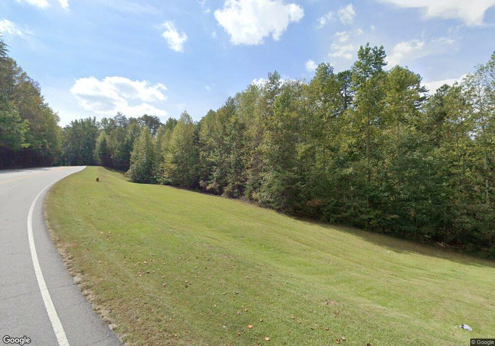
12960 Highway 19 N Dahlonega, GA 30533
Estimated Value: $478,000 - $1,836,028
--
Bed
2
Baths
1,700
Sq Ft
$681/Sq Ft
Est. Value
About This Home
This home is located at 12960 Highway 19 N, Dahlonega, GA 30533 and is currently estimated at $1,157,014, approximately $680 per square foot. 12960 Highway 19 N is a home located in Lumpkin County with nearby schools including Lumpkin County High School.
Ownership History
Date
Name
Owned For
Owner Type
Purchase Details
Closed on
Nov 17, 2018
Sold by
Dockery Lois Elaine
Bought by
Bierschenk Cindy Denise
Current Estimated Value
Purchase Details
Closed on
Nov 26, 2014
Sold by
Dockery Jerry Earl
Bought by
Dockery Lois Elaine
Purchase Details
Closed on
Mar 23, 2006
Sold by
Not Provided
Bought by
Roberts Kathy D and Roberts Ronnie L
Purchase Details
Closed on
Nov 5, 2003
Sold by
Dockery Earl Robert
Bought by
Dockery Jerry Earl
Purchase Details
Closed on
Jan 9, 2001
Sold by
Dockery Earl Robert
Bought by
Dockery Earl Robert
Purchase Details
Closed on
May 5, 1994
Sold by
Dockery Earl Robert
Bought by
Dockery Earl Robert
Purchase Details
Closed on
May 12, 1992
Sold by
Dockery Earl Robert
Bought by
Dockery Earl Robert
Purchase Details
Closed on
Mar 27, 1985
Bought by
Dockery Earl Robert
Purchase Details
Closed on
Jul 1, 1973
Sold by
Dockery Earl Robert
Bought by
Dockery Earl Robert
Create a Home Valuation Report for This Property
The Home Valuation Report is an in-depth analysis detailing your home's value as well as a comparison with similar homes in the area
Home Values in the Area
Average Home Value in this Area
Purchase History
| Date | Buyer | Sale Price | Title Company |
|---|---|---|---|
| Bierschenk Cindy Denise | -- | -- | |
| Dockery Lois Elaine | -- | -- | |
| Roberts Kathy D | -- | -- | |
| Dockery Jerry Earl | -- | -- | |
| Dockery Earl Robert | -- | -- | |
| Dockery Earl Robert | -- | -- | |
| Dockery Earl Robert | -- | -- | |
| Dockery Earl Robert | -- | -- | |
| Dockery Earl Robert | -- | -- |
Source: Public Records
Tax History Compared to Growth
Tax History
| Year | Tax Paid | Tax Assessment Tax Assessment Total Assessment is a certain percentage of the fair market value that is determined by local assessors to be the total taxable value of land and additions on the property. | Land | Improvement |
|---|---|---|---|---|
| 2024 | $1,179 | $584,308 | $499,633 | $84,675 |
| 2023 | $668 | $509,680 | $430,718 | $78,962 |
| 2022 | $1,042 | $463,350 | $391,562 | $71,788 |
| 2021 | $941 | $453,318 | $391,562 | $61,756 |
| 2020 | $922 | $451,639 | $391,562 | $60,077 |
| 2019 | $902 | $451,639 | $391,562 | $60,077 |
| 2018 | $907 | $445,150 | $391,562 | $53,588 |
| 2017 | $895 | $444,420 | $391,562 | $52,858 |
| 2016 | $895 | $438,316 | $391,562 | $46,754 |
| 2015 | $2,257 | $438,316 | $391,562 | $46,754 |
| 2014 | $2,257 | $439,310 | $391,562 | $47,748 |
| 2013 | -- | $440,310 | $391,562 | $48,748 |
Source: Public Records
Map
Nearby Homes
- 129 Pine Rd
- 310 Highland Trail
- 532 Highland Trail
- 31 Pine Rd
- 0 Highway 129 N Unit 10601810
- 457 Celie Ann Seabolt Rd
- 0 Damascus Church Rd Unit 21674636
- 11161 Highway 19 N
- 169 Dunns Rd
- 0 Paradise Valley Rd Unit 10468779
- 802 Pine Knot Dr
- 15103 Highway 19 N
- 0 Ts Jarrard Rd Unit Tract 3
- 275 Corinth Church Rd
- 0 Ts Jarrard Rd Unit TRACT 3
- 412 Fireside Ridge Dr
- T S T S Jarrard Rd
- 0 Corinth Church Rd Unit 413322
- 0 Corinth Church Rd Unit 10463002
- 0 Corinth Church Rd Unit 7527787
- 109 Beehive Dr
- 31 Beehive Dr
- 12917 Highway 19 N
- 13009 Highway 19 N
- 0 Mountain Cove Rd
- 0 Mountain Cove Rd Unit 8545275
- 0 Mountain Cove Rd Unit 8406604
- 0 Mountain Cove Rd Unit 7458809
- 12788 Highway 19 N
- 00 Neverland Trail
- 0 Neverland Trail Unit 2682607
- 0 Neverland Trail Unit 8053884
- 0 Neverland Trail Unit 7568018
- 0 Neverland Trail Unit 7296804
- 0 Neverland Trail Unit 7344512
- 0 Neverland Trail Unit 7177333
- 0 Neverland Trail Unit 3106967
- 12964 Highway 19 N
- 13266 Highway 19 N
- 12823 Highway 19 N
