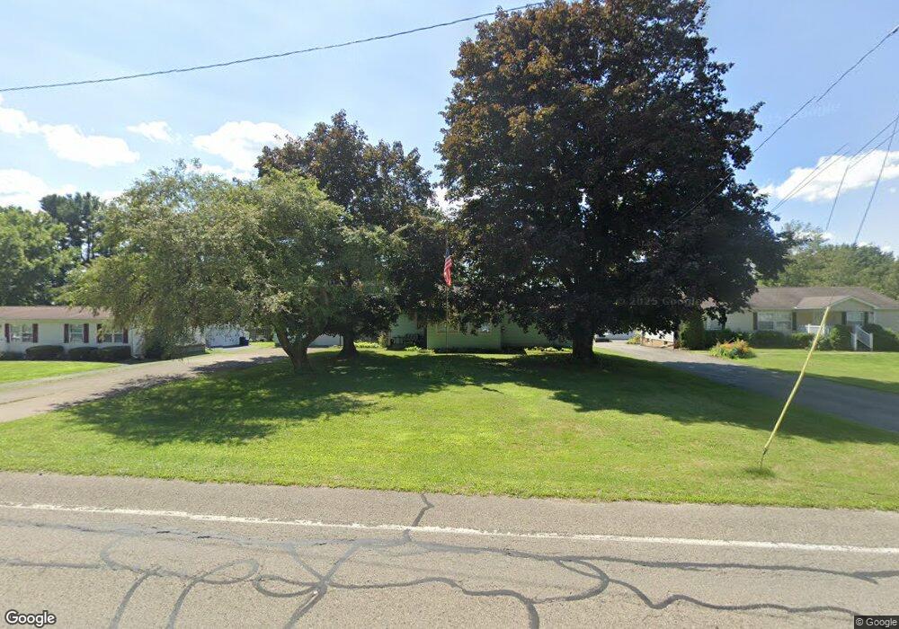
12965 State Highway 18 Conneaut Lake, PA 16316
Estimated Value: $163,000 - $239,000
--
Bed
--
Bath
--
Sq Ft
0.88
Acres
About This Home
This home is located at 12965 State Highway 18, Conneaut Lake, PA 16316 and is currently estimated at $188,862. 12965 State Highway 18 is a home located in Crawford County with nearby schools including Conneaut Lake-Sadsbury Elementary School, Conneaut Lake Middle School, and Conneaut Area Senior High School.
Ownership History
Date
Name
Owned For
Owner Type
Purchase Details
Closed on
Feb 20, 2023
Sold by
Fry Jessie M
Bought by
Miklos Joshua J
Current Estimated Value
Home Financials for this Owner
Home Financials are based on the most recent Mortgage that was taken out on this home.
Original Mortgage
$129,510
Outstanding Balance
$125,446
Interest Rate
6.33%
Mortgage Type
New Conventional
Estimated Equity
$63,416
Purchase Details
Closed on
Jun 5, 2018
Sold by
Trustees Of Conneaut Lake Park Inc
Bought by
Fry Paul M and Fry Jessie M
Create a Home Valuation Report for This Property
The Home Valuation Report is an in-depth analysis detailing your home's value as well as a comparison with similar homes in the area
Home Values in the Area
Average Home Value in this Area
Purchase History
| Date | Buyer | Sale Price | Title Company |
|---|---|---|---|
| Miklos Joshua J | $143,900 | None Listed On Document | |
| Fry Paul M | -- | None Available |
Source: Public Records
Mortgage History
| Date | Status | Borrower | Loan Amount |
|---|---|---|---|
| Open | Miklos Joshua J | $129,510 |
Source: Public Records
Tax History Compared to Growth
Tax History
| Year | Tax Paid | Tax Assessment Tax Assessment Total Assessment is a certain percentage of the fair market value that is determined by local assessors to be the total taxable value of land and additions on the property. | Land | Improvement |
|---|---|---|---|---|
| 2025 | $867 | $29,050 | $3,400 | $25,650 |
| 2024 | $2,365 | $29,050 | $3,400 | $25,650 |
| 2023 | $2,365 | $29,050 | $3,400 | $25,650 |
| 2022 | $2,365 | $29,050 | $3,400 | $25,650 |
| 2021 | $2,365 | $29,050 | $3,400 | $25,650 |
| 2020 | $2,365 | $29,050 | $3,400 | $25,650 |
| 2019 | $2,365 | $29,050 | $3,400 | $25,650 |
| 2018 | $2,256 | $29,050 | $3,400 | $25,650 |
| 2017 | $2,256 | $29,050 | $3,400 | $25,650 |
| 2016 | $736 | $29,050 | $3,400 | $25,650 |
| 2015 | $736 | $29,050 | $3,400 | $25,650 |
| 2014 | -- | $29,050 | $3,400 | $25,650 |
Source: Public Records
Map
Nearby Homes
- 0 Bay Dr Unit 187630
- 11504 N Shore Dr
- 12807 Birch St
- 13035 State Highway 618
- 12269 Pennsylvania 18
- 12255 Center St W
- 12838 Reed Ave
- 12691 Reed Ave
- 12975 Reed Ave
- 11850 Morningshore Dr
- 0 Charlotte Ave
- 00 Oakwood Rd
- 11694 Oakfield Rd
- 14105 Lexington Ave
- 12013 Teifer Ave
- 10672 Center Ave
- 10868 Woodman St
- 12006 Sunnyside Ave
- 11894 Shady Ave
- 12060 Shady Ave
- 12965 Pennsylvania 18
- 12955 State Hwy 18
- 12955 State Highway 18
- 12955 Rt 18 Route
- 12928 Highway 18
- 12936 State Highway 18
- 12997 Highway 18
- 12936 State Highway 18
- 12936 State Hwy 18
- 12990 Highway 18
- 13009 Highway 18
- 0 Bay Dr Unit 1306273
- 0 Bay Dr
- 0 Bay Dr Unit 160586
- 0 Bay Dr Unit 1432833
- 0 Bay Dr Unit 148773
- 0 Bay Dr Unit 108130
- 0 Bay Dr Unit 115559
- 0 Bay Dr Unit 134855
- 0 Bay Dr Unit 1370632