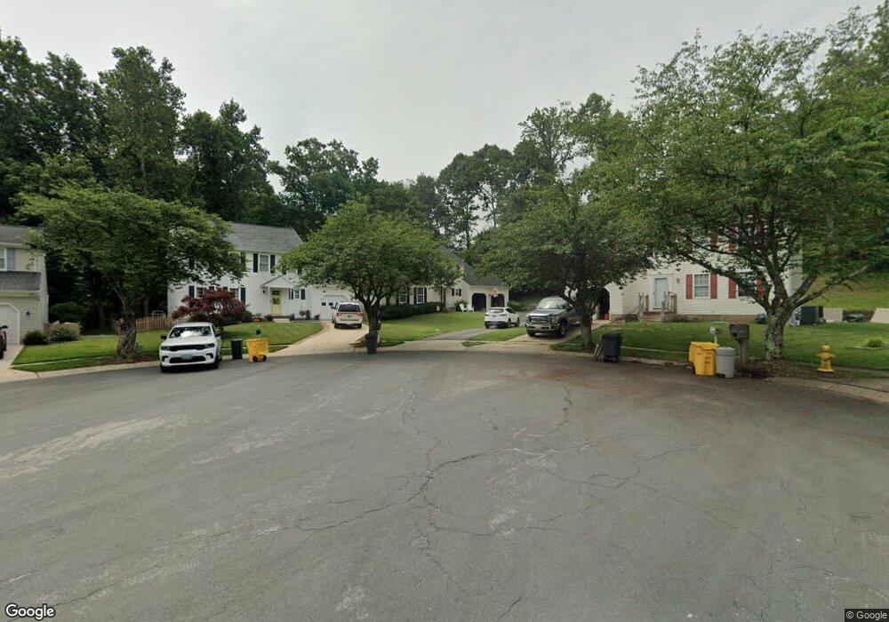
1297 Doubleday Dr Arnold, MD 21012
Estimated Value: $617,000 - $724,000
Studio
3
Baths
2,024
Sq Ft
$326/Sq Ft
Est. Value
About This Home
This home is located at 1297 Doubleday Dr, Arnold, MD 21012 and is currently estimated at $660,183, approximately $326 per square foot. 1297 Doubleday Dr is a home located in Anne Arundel County with nearby schools including Broadneck Elementary School, Magothy River Middle School, and Broadneck High School.
Ownership History
Date
Name
Owned For
Owner Type
Purchase Details
Closed on
Apr 12, 1994
Sold by
Foxmoor Assocs Lp
Bought by
Egan Michael J
Current Estimated Value
Home Financials for this Owner
Home Financials are based on the most recent Mortgage that was taken out on this home.
Original Mortgage
$164,950
Interest Rate
7.27%
Create a Home Valuation Report for This Property
The Home Valuation Report is an in-depth analysis detailing your home's value as well as a comparison with similar homes in the area
Home Values in the Area
Average Home Value in this Area
Purchase History
| Date | Buyer | Sale Price | Title Company |
|---|---|---|---|
| Egan Michael J | $183,320 | -- |
Source: Public Records
Mortgage History
| Date | Status | Borrower | Loan Amount |
|---|---|---|---|
| Closed | Egan Michael J | $164,950 |
Source: Public Records
Tax History
| Year | Tax Paid | Tax Assessment Tax Assessment Total Assessment is a certain percentage of the fair market value that is determined by local assessors to be the total taxable value of land and additions on the property. | Land | Improvement |
|---|---|---|---|---|
| 2025 | $3,940 | $523,267 | -- | -- |
| 2024 | $3,940 | $493,900 | $288,000 | $205,900 |
| 2023 | $3,843 | $490,700 | $0 | $0 |
| 2022 | $3,608 | $487,500 | $0 | $0 |
| 2020 | $3,446 | $469,867 | $0 | $0 |
| 2019 | $3,382 | $455,433 | $0 | $0 |
| 2018 | $4,472 | $441,000 | $248,000 | $193,000 |
| 2017 | $3,189 | $436,767 | $0 | $0 |
| 2016 | -- | $432,533 | $0 | $0 |
| 2015 | -- | $428,300 | $0 | $0 |
| 2014 | -- | $423,667 | $0 | $0 |
Source: Public Records
Map
Nearby Homes
- 136 Collington Ct
- 1304 Farley Ct S
- 19 Roe Ln
- 413 Colonial Ridge Ln
- 1254 Masters Dr
- 276 Overleaf Dr
- 303 Ternwing Dr
- 1419 Mariner Dr
- 1241 Tamarack Trail
- 1078 Brightleaf Ct
- 1420 Mariner Dr
- 539 Greenblades Ct
- 394 Kings College Dr
- 208 Admirals Ct
- 1512 Winterberry Dr
- 1159 Greenhill Rd
- 559 Melissa Ct
- 1294 Circle Dr
- 1350 Ritchie Hwy
- 1553 Star Pine Dr
- 1295 Doubleday Dr
- 1299 Doubleday Dr
- 1293 Doubleday Dr
- 1291 Doubleday Dr
- 1298 Doubleday Dr
- 1289 Doubleday Dr
- 1296 Doubleday Dr
- 1290 Doubleday Dr
- 1287 Doubleday Dr
- 1288 Doubleday Dr
- 1294 Doubleday Dr
- 1285 Doubleday Dr
- 1292 Doubleday Dr
- 1282 Doubleday Dr
- 1286 Doubleday Dr
- 1280 Doubleday Dr
- 1284 Doubleday Dr
- 1227 Jones Station Rd
- 1225 Jones Station Rd
- 1278 Doubleday Dr
Your Personal Tour Guide
Ask me questions while you tour the home.