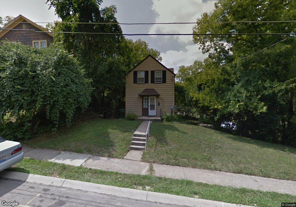
1297 Rutledge Ave Cincinnati, OH 45205
West Price Hill NeighborhoodEstimated Value: $117,320 - $143,000
2
Beds
1
Bath
972
Sq Ft
$135/Sq Ft
Est. Value
About This Home
This home is located at 1297 Rutledge Ave, Cincinnati, OH 45205 and is currently estimated at $131,080, approximately $134 per square foot. 1297 Rutledge Ave is a home located in Hamilton County with nearby schools including Carson School, Gilbert A. Dater High School, and Western Hills High School.
Ownership History
Date
Name
Owned For
Owner Type
Purchase Details
Closed on
Mar 18, 2002
Sold by
Albert Cigolotti and Albert Carolyn
Bought by
Isham Sandra
Current Estimated Value
Home Financials for this Owner
Home Financials are based on the most recent Mortgage that was taken out on this home.
Original Mortgage
$64,800
Outstanding Balance
$31,928
Interest Rate
10.35%
Mortgage Type
Unknown
Estimated Equity
$99,152
Create a Home Valuation Report for This Property
The Home Valuation Report is an in-depth analysis detailing your home's value as well as a comparison with similar homes in the area
Home Values in the Area
Average Home Value in this Area
Purchase History
| Date | Buyer | Sale Price | Title Company |
|---|---|---|---|
| Isham Sandra | $64,800 | American Security Title Co |
Source: Public Records
Mortgage History
| Date | Status | Borrower | Loan Amount |
|---|---|---|---|
| Open | Isham Sandra | $64,800 |
Source: Public Records
Tax History
| Year | Tax Paid | Tax Assessment Tax Assessment Total Assessment is a certain percentage of the fair market value that is determined by local assessors to be the total taxable value of land and additions on the property. | Land | Improvement |
|---|---|---|---|---|
| 2025 | $1,016 | $25,957 | $7,802 | $18,155 |
| 2023 | $1,945 | $31,144 | $7,802 | $23,342 |
| 2022 | $1,249 | $17,679 | $7,802 | $9,877 |
| 2021 | $1,189 | $17,679 | $7,802 | $9,877 |
| 2020 | $1,223 | $17,679 | $7,802 | $9,877 |
| 2019 | $1,215 | $16,069 | $7,091 | $8,978 |
| 2018 | $1,217 | $16,069 | $7,091 | $8,978 |
| 2017 | $1,155 | $16,069 | $7,091 | $8,978 |
| 2016 | $1,400 | $19,306 | $7,602 | $11,704 |
| 2015 | $1,265 | $19,306 | $7,602 | $11,704 |
| 2014 | $1,274 | $19,306 | $7,602 | $11,704 |
| 2013 | $1,467 | $21,938 | $8,638 | $13,300 |
Source: Public Records
Map
Nearby Homes
- 1226 Rutledge Ave
- 1261 Dewey Ave
- 1222 Dewey Ave
- 1647 Dewey Ave
- 1110 Winfield Ave
- 1634 Dewey Ave
- 4033 W Liberty St
- 4614 Midland Ave
- 1026 Schiff Ave
- 1113 Gilsey Ave
- 2403 Glenway Ave
- 1626 Iliff Ave
- 4526 Clearview Ave
- 4758 Glenway Ave
- 1758 Tuxworth Ave
- 1002 Winfield Ave
- 1059 Lockman Ave
- 4120 Saint Williams Ave
- 1782 Ashbrook Dr
- 1774 Ashbrook Dr
- 1293 Rutledge Ave
- 1295 Rutledge Ave
- 1291 Rutledge Ave
- 1300 Rutledge Ave
- 1298 Rutledge Ave
- 1294 Rutledge Ave
- 1287 Rutledge Ave
- 1290 Rutledge Ave
- 1288 Rutledge Ave
- 1285 Rutledge Ave
- 1283 Rutledge Ave
- 1280 Rutledge Ave
- 1278 Rutledge Ave
- 1279 Rutledge Ave
- 1297 McKeone Ave
- 1289 McKeone Ave
- 1301 McKeone Ave
- 1275 Rutledge Ave
- 1275 Rutledge Ave Unit 1277
- 1277 Rutledge Ave
Your Personal Tour Guide
Ask me questions while you tour the home.