Estimated Value: $108,000 - $156,000
1
Bed
1
Bath
810
Sq Ft
$157/Sq Ft
Est. Value
About This Home
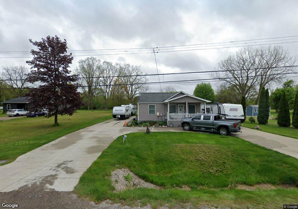
This home is located at 1297 S Dye Rd, Flint, MI 48532 and is currently estimated at $127,437, approximately $157 per square foot. 1297 S Dye Rd is a home located in Genesee County with nearby schools including Carman-Ainsworth High School, Genesee STEM Academy, and St. Paul Lutheran School.
Ownership History
Date
Name
Owned For
Owner Type
Purchase Details
Closed on
Dec 7, 2016
Sold by
Budnik Sheri Lynn and Budnik Mark
Bought by
Duran Mary E and Rueda Victory
Current Estimated Value
Purchase Details
Closed on
Sep 26, 2014
Sold by
Duran Mary E and Rueda Victor
Bought by
Duran Mary E and Rueda Victor
Purchase Details
Closed on
Jul 7, 2014
Sold by
Budnik Mark K
Bought by
Duran Mary E and Rueda Victor
Purchase Details
Closed on
Jul 7, 1999
Sold by
North Clarence and North Dorothy C
Bought by
Budnik Mark
Create a Home Valuation Report for This Property
The Home Valuation Report is an in-depth analysis detailing your home's value as well as a comparison with similar homes in the area
Home Values in the Area
Average Home Value in this Area
Purchase History
| Date | Buyer | Sale Price | Title Company |
|---|---|---|---|
| Duran Mary E | -- | None Available | |
| Duran Mary E | -- | None Available | |
| Duran Mary E | $897 | None Available | |
| Budnik Mark | $58,000 | Sargents Title Company Llc |
Source: Public Records
Tax History
| Year | Tax Paid | Tax Assessment Tax Assessment Total Assessment is a certain percentage of the fair market value that is determined by local assessors to be the total taxable value of land and additions on the property. | Land | Improvement |
|---|---|---|---|---|
| 2025 | $1,355 | $47,000 | $0 | $0 |
| 2024 | $675 | $46,100 | $0 | $0 |
| 2023 | $644 | $42,000 | $0 | $0 |
| 2022 | $609 | $30,200 | $0 | $0 |
| 2021 | $1,196 | $26,500 | $0 | $0 |
| 2020 | $579 | $26,100 | $0 | $0 |
| 2019 | $524 | $23,500 | $0 | $0 |
| 2018 | $1,067 | $24,500 | $0 | $0 |
| 2017 | $1,027 | $24,500 | $0 | $0 |
| 2016 | $1,055 | $23,300 | $0 | $0 |
| 2015 | $923 | $23,300 | $0 | $0 |
| 2014 | $889 | $21,300 | $0 | $0 |
| 2012 | -- | $22,200 | $22,200 | $0 |
Source: Public Records
Map
Nearby Homes
- 1161 S Dye Rd
- 1460 S Dye Rd
- 0000 Reuben Reuben St
- 1417 Grassmere Ave
- 3.9 Acres W Court St
- 2052 S Dye Rd
- 5423 Meadowcrest Dr
- 4480 Corunna Rd
- 2 Charter Dr
- 0 Charter Dr Unit 50153638
- 5526 Corunna Rd
- 4474 Corunna Rd
- 6090 Lancaster Dr
- 5323 Elmsford Dr
- 6007 Corunna Rd
- 5227 Dania St
- 5290 Brobeck St
- 1455 S Linden Rd
- 5200 Elko St
- 5151 Brobeck St
- 1309 S Dye Rd
- 1283 S Dye Rd
- 1329 S Dye Rd
- 1271 S Dye Rd
- 5282 Mapletree Dr
- 1265 S Dye Rd
- 5343 Birchtree Ct
- 5347 Birchtree Ct
- 1333 S Dye Rd
- 1341 S Dye Rd
- 5292 Mapletree Dr
- 5281 Mapletree Dr
- 5344 Birchtree Ct
- 5331 S Dyewood Dr
- 5341 Birchtree Ct
- 5232 W Court St
- 5304 Mapletree Ct
- 5304 Mapletree Dr
- 5295 Mapletree Dr
- 5214 W Court St
Your Personal Tour Guide
Ask me questions while you tour the home.