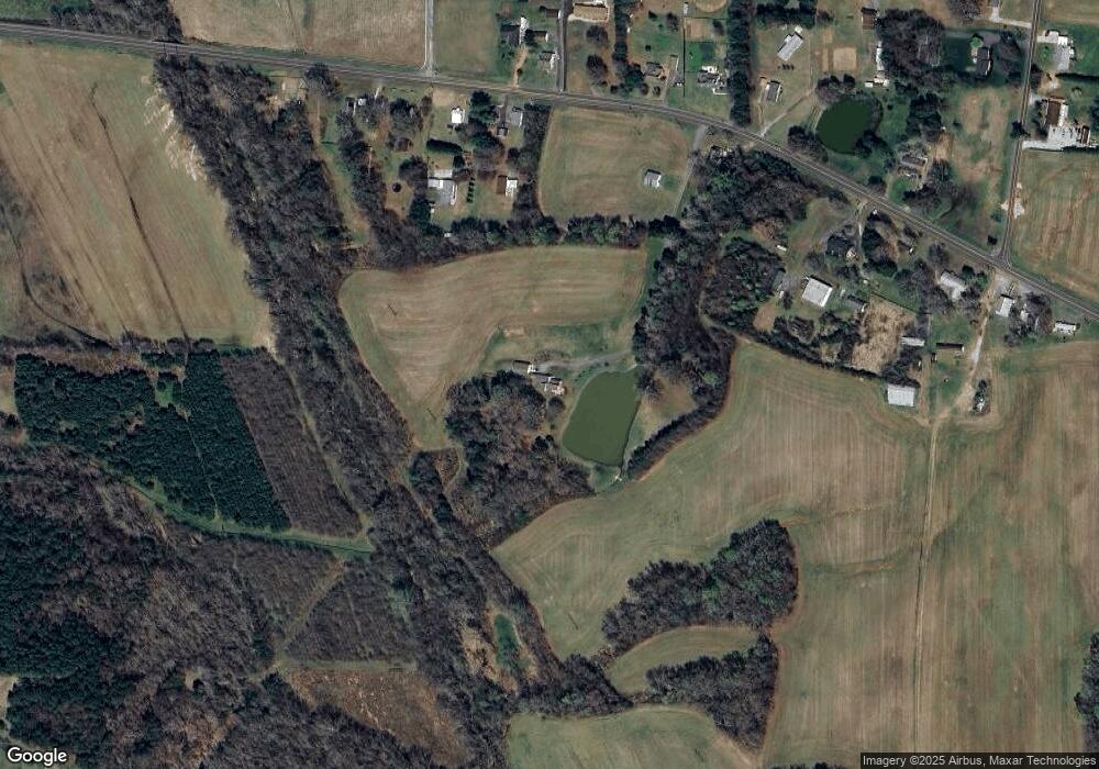
1297 Us Highway 64 W Mocksville, NC 27028
Estimated Value: $344,072 - $375,000
3
Beds
2
Baths
2,013
Sq Ft
$180/Sq Ft
Est. Value
About This Home
This home is located at 1297 Us Highway 64 W, Mocksville, NC 27028 and is currently estimated at $362,691, approximately $180 per square foot. 1297 Us Highway 64 W is a home located in Davie County with nearby schools including Mocksville Elementary School, South Davie Middle, and Davie County High School.
Ownership History
Date
Name
Owned For
Owner Type
Purchase Details
Closed on
Nov 1, 1983
Current Estimated Value
Create a Home Valuation Report for This Property
The Home Valuation Report is an in-depth analysis detailing your home's value as well as a comparison with similar homes in the area
Home Values in the Area
Average Home Value in this Area
Purchase History
| Date | Buyer | Sale Price | Title Company |
|---|---|---|---|
| -- | -- | -- |
Source: Public Records
Tax History Compared to Growth
Tax History
| Year | Tax Paid | Tax Assessment Tax Assessment Total Assessment is a certain percentage of the fair market value that is determined by local assessors to be the total taxable value of land and additions on the property. | Land | Improvement |
|---|---|---|---|---|
| 2025 | $1,782 | $258,830 | $45,070 | $213,760 |
| 2024 | $1,469 | $190,090 | $36,080 | $154,010 |
| 2023 | $1,469 | $190,090 | $36,080 | $154,010 |
| 2022 | $1,469 | $190,090 | $36,080 | $154,010 |
| 2021 | $1,469 | $190,090 | $36,080 | $154,010 |
| 2020 | $1,418 | $182,230 | $36,080 | $146,150 |
| 2019 | $1,418 | $182,230 | $36,080 | $146,150 |
| 2018 | $1,418 | $182,230 | $36,080 | $146,150 |
| 2017 | $1,400 | $182,230 | $0 | $0 |
| 2016 | $1,446 | $188,330 | $0 | $0 |
| 2015 | $1,446 | $188,330 | $0 | $0 |
| 2014 | $1,424 | $188,330 | $0 | $0 |
| 2013 | -- | $188,330 | $0 | $0 |
Source: Public Records
Map
Nearby Homes
- 100 N Wentworth Dr
- 921 Yadkinville Rd
- 744 Wilkesboro St
- 733 Wilkesboro St
- 160 Murphy Meadow Rd
- 168 Murphy Meadow Rd
- Johnson Plan at Nelson's Creek
- Chatham Plan at Nelson's Creek
- Dakota Plan at Nelson's Creek
- Rockwell Plan at Nelson's Creek
- Alexander Plan at Nelson's Creek
- Buchanan Plan at Nelson's Creek
- Brentwood Plan at Nelson's Creek
- Manchester Plan at Nelson's Creek
- Chandler Plan at Nelson's Creek
- 119 Heritage Valley Ct
- 120 Heritage Valley Ct
- 133 Purvis Creek Dr
- 107 Heritage Valley Ct
- 134 Purvis Creek Dr
- 118 Dartmouth Ln
- 1339 U S 64
- 1349 Us Highway 64 W
- 1361 Us Highway 64 W
- 1371 Us Highway 64 W
- 1306 Us Highway 64 W
- 1328 Us Highway 64 W
- 1257 Us Highway 64 W
- 1294 Us Highway 64 W
- 1334 Us Highway 64 W
- 1334 Us Highway 64 W
- 1324 Us Highway 64 W
- 1282 Us Highway 64 W
- 1387 Us Highway 64 W
- 1280 Us Highway 64 W
- 1235 Us Highway 64 W
- 000 Madison Rd
- 0001 Madison Rd
- 1246 Us Highway 64 W
- 143 Vale Rd
