12970 Dusty Ln Casper, WY 82604
Estimated Value: $379,000 - $475,169
1
Bed
2
Baths
1,552
Sq Ft
$267/Sq Ft
Est. Value
About This Home
This home is located at 12970 Dusty Ln, Casper, WY 82604 and is currently estimated at $414,056, approximately $266 per square foot. 12970 Dusty Ln is a home located in Natrona County.
Ownership History
Date
Name
Owned For
Owner Type
Purchase Details
Closed on
May 19, 2015
Sold by
Foltz Janet S
Bought by
Worthing Joshua L and Worthing Jennifer L
Current Estimated Value
Home Financials for this Owner
Home Financials are based on the most recent Mortgage that was taken out on this home.
Original Mortgage
$165,000
Outstanding Balance
$127,340
Interest Rate
3.73%
Mortgage Type
New Conventional
Estimated Equity
$286,716
Create a Home Valuation Report for This Property
The Home Valuation Report is an in-depth analysis detailing your home's value as well as a comparison with similar homes in the area
Home Values in the Area
Average Home Value in this Area
Purchase History
| Date | Buyer | Sale Price | Title Company |
|---|---|---|---|
| Worthing Joshua L | -- | American Title Company | |
| Worthing Joshua L | -- | American Title Company |
Source: Public Records
Mortgage History
| Date | Status | Borrower | Loan Amount |
|---|---|---|---|
| Open | Worthing Joshua L | $165,000 | |
| Closed | Worthing Joshua L | $165,000 |
Source: Public Records
Tax History Compared to Growth
Tax History
| Year | Tax Paid | Tax Assessment Tax Assessment Total Assessment is a certain percentage of the fair market value that is determined by local assessors to be the total taxable value of land and additions on the property. | Land | Improvement |
|---|---|---|---|---|
| 2025 | $1,907 | $28,542 | $9,468 | $19,074 |
| 2024 | $2,471 | $36,988 | $13,350 | $23,638 |
| 2023 | $2,258 | $33,261 | $10,468 | $22,793 |
| 2022 | $3,005 | $36,526 | $9,266 | $27,260 |
| 2021 | $2,844 | $37,160 | $1,548 | $35,612 |
| 2020 | $2,512 | $27,789 | $1,699 | $26,090 |
| 2019 | $2,910 | $33,661 | $14,216 | $19,445 |
| 2018 | $2,937 | $34,052 | $14,390 | $19,662 |
| 2017 | $2,825 | $32,404 | $12,800 | $19,604 |
| 2015 | $2,559 | $28,491 | $6,650 | $21,841 |
| 2014 | $2,515 | $27,843 | $6,650 | $21,193 |
Source: Public Records
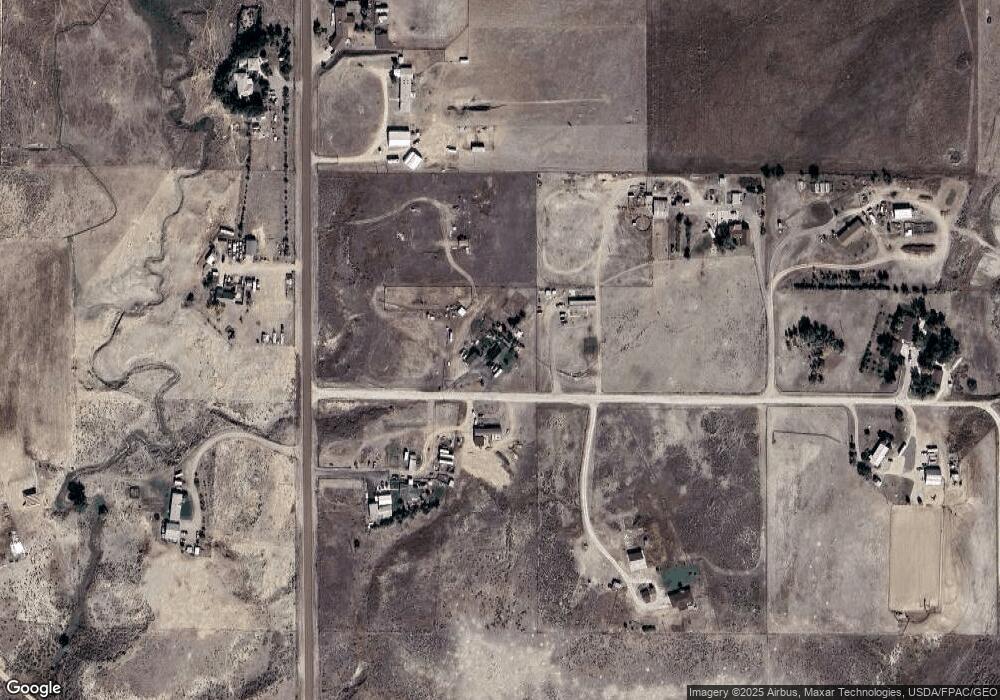
Map
Nearby Homes
- 0 Bessemer Bend Rd
- 0000 Goose Egg Cir
- 0 Tract 17 75 Unit 20254095
- 12695 W Zero Rd
- 12345 W Goose Egg Rd
- 9420 Wyoming 220
- 6195 Goldie Ln
- 4114 Monument Rd
- 3223 Carbide Trail
- 3223 Carbide Trail Rd
- 3158 Quivera River Rd
- 3341 Indian Scout Dr
- 6650 White Rock Dr
- 4459 Pursel Dr
- 6507 W Riverside Terrace
- 4400 Westland Place
- 6622 Cherokee Ln
- 4450 Smoke Rise Rd
- 3056 Herrington Dr
- 3319 Chaparral
- 12932 Dusty Ln
- 4665 Twelve Mile Rd
- 4543 Twelve Mile Rd
- 4800 Twelve Mile Rd
- 12995 Dusty Ln
- 4525 12 Mile Rd
- 4850 Twelve Mile Rd
- 4525 Twelve Mile Rd
- 4525 Twelve Mile Rd
- 4525 Twelve Mile Rd Unit Zero Road
- 4525 Twelve Mile Rd Unit Zero Road
- 4650 Twelve Mile Rd
- 12920 Dusty Ln
- 12905 Dusty Ln
- 12900 Dusty Ln
- 5025 Twelve Mile Rd
- 5025 Twelve Mile Rd Unit Bessemer
- 12850 Dusty Ln
- 12850 Dusty Ln Unit Twelve Mile Rd
- 12870 Tuffy Rd Unit 12 Mile Road