Estimated Value: $302,000 - $347,000
--
Bed
--
Bath
1,512
Sq Ft
$217/Sq Ft
Est. Value
About This Home
This home is located at 12970 S Poplar Ave Unit A, Grant, MI 49327 and is currently estimated at $328,592, approximately $217 per square foot. 12970 S Poplar Ave Unit A is a home located in Newaygo County with nearby schools including Grant Primary Center, Grant Elementary School, and Grant Middle School.
Ownership History
Date
Name
Owned For
Owner Type
Purchase Details
Closed on
Jul 29, 2014
Sold by
Vanhouten David
Bought by
Wood Darin
Current Estimated Value
Purchase Details
Closed on
Aug 25, 2004
Sold by
Vanhouten David and Vanhouten Diana
Bought by
Fox Neven L and Fox Kimberley A
Home Financials for this Owner
Home Financials are based on the most recent Mortgage that was taken out on this home.
Original Mortgage
$45,000
Interest Rate
6.1%
Mortgage Type
Purchase Money Mortgage
Create a Home Valuation Report for This Property
The Home Valuation Report is an in-depth analysis detailing your home's value as well as a comparison with similar homes in the area
Home Values in the Area
Average Home Value in this Area
Purchase History
| Date | Buyer | Sale Price | Title Company |
|---|---|---|---|
| Wood Darin | $157,200 | -- | |
| Fox Neven L | $50,000 | Metropolitan Title Company | |
| Fox Neven L | $50,000 | -- |
Source: Public Records
Mortgage History
| Date | Status | Borrower | Loan Amount |
|---|---|---|---|
| Previous Owner | Fox Neven L | $45,000 |
Source: Public Records
Tax History Compared to Growth
Tax History
| Year | Tax Paid | Tax Assessment Tax Assessment Total Assessment is a certain percentage of the fair market value that is determined by local assessors to be the total taxable value of land and additions on the property. | Land | Improvement |
|---|---|---|---|---|
| 2025 | $2,571 | $171,100 | $0 | $0 |
| 2024 | $11 | $159,800 | $0 | $0 |
| 2023 | $1,019 | $138,900 | $0 | $0 |
| 2022 | $2,309 | $129,400 | $0 | $0 |
| 2021 | $2,425 | $119,500 | $0 | $0 |
| 2020 | $2,391 | $107,300 | $0 | $0 |
| 2019 | $2,303 | $96,200 | $0 | $0 |
| 2018 | $2,329 | $85,400 | $0 | $0 |
| 2017 | $2,360 | $80,800 | $0 | $0 |
| 2016 | $2,314 | $79,900 | $0 | $0 |
| 2015 | -- | $69,000 | $0 | $0 |
| 2014 | -- | $73,500 | $0 | $0 |
Source: Public Records
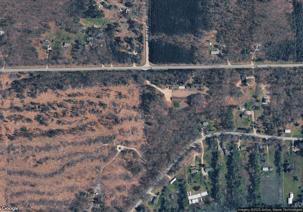
Map
Nearby Homes
- 3182 E 128th St
- 9680 S Thornapple Ave
- 4390 22 Mile Rd NW
- 13806 S Locust Ave
- 953 E 136th St
- 3500 Northkent Pine Dr
- 10603 Paw Ave
- 17460 Mcphail Ave NE
- 16550 Tyrone Ave
- 14074 S Elder Ave
- 6477 E 128th St
- 2291 20 Mile Rd NW
- 2195 20 Mile Rd NW
- 9640 S Thornapple Ave
- Lot 19 S Elder Ave
- 151 & 153 Clark St
- 1599 E Clearwater St
- 17090 Kenowa Ave
- 10201 Mason Dr
- 1485 E Hess Lake Dr
- 12970 S Poplar Ave
- 12970 S Poplar Ave
- 12870 S Poplar Ave
- 13010 S Poplar Ave
- 3392 E 128th St
- 3398 E 128th St
- 3282 E 128th St
- 12927 Poplar Ave
- 12923 Poplar Ave
- 12901 Poplar Ave
- 12927 S Poplar Ave
- 3422 E 128th St
- 12875 Poplar Ave
- 3224 E 128th St
- 13068 Poplar Ave
- 3373 E 128th St
- 3297 E 128th St
- 12865 S Poplar Ave
- 3417 E 128th St
- 12855 S Poplar Ave