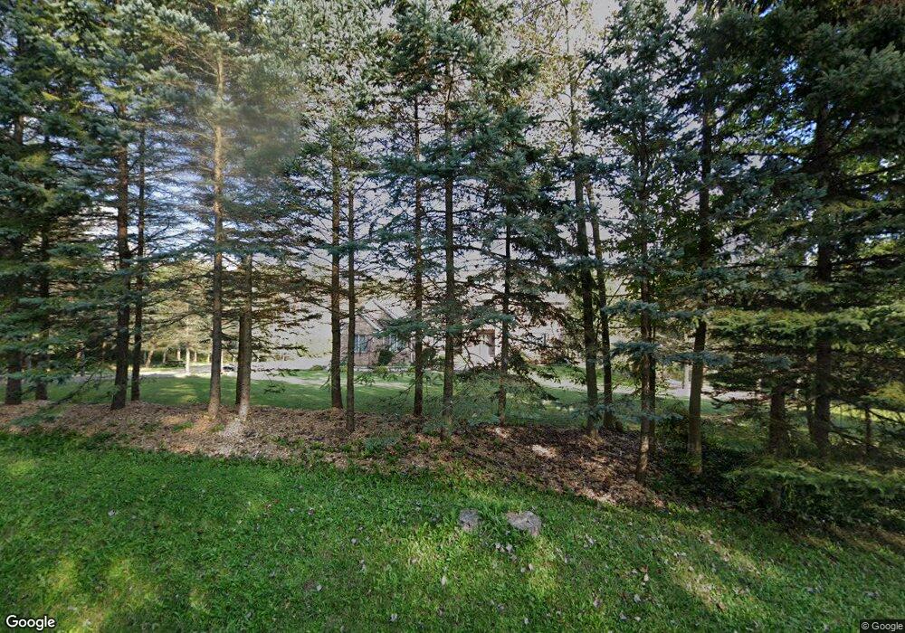
12971 Sperry Rd Chesterland, OH 44026
Estimated Value: $530,000 - $626,459
4
Beds
4
Baths
4,140
Sq Ft
$139/Sq Ft
Est. Value
About This Home
This home is located at 12971 Sperry Rd, Chesterland, OH 44026 and is currently estimated at $577,365, approximately $139 per square foot. 12971 Sperry Rd is a home located in Geauga County with nearby schools including West Geauga High School and St Anselm School.
Ownership History
Date
Name
Owned For
Owner Type
Purchase Details
Closed on
May 20, 2022
Sold by
Zuzak Joseph and Zuzak Carol
Bought by
Riebe William and Riebe Nancy
Current Estimated Value
Home Financials for this Owner
Home Financials are based on the most recent Mortgage that was taken out on this home.
Original Mortgage
$310,500
Interest Rate
6.31%
Mortgage Type
New Conventional
Purchase Details
Closed on
Nov 15, 1995
Sold by
Beck Brian S
Bought by
Joseph and Zuzak Carol
Purchase Details
Closed on
Dec 2, 1987
Bought by
Beck Brian S and Beck Rickie
Create a Home Valuation Report for This Property
The Home Valuation Report is an in-depth analysis detailing your home's value as well as a comparison with similar homes in the area
Home Values in the Area
Average Home Value in this Area
Purchase History
| Date | Buyer | Sale Price | Title Company |
|---|---|---|---|
| Riebe William | $400,000 | -- | |
| Joseph | $55,900 | -- | |
| Beck Brian S | $32,000 | -- |
Source: Public Records
Mortgage History
| Date | Status | Borrower | Loan Amount |
|---|---|---|---|
| Previous Owner | Riebe William | $310,500 |
Source: Public Records
Tax History Compared to Growth
Tax History
| Year | Tax Paid | Tax Assessment Tax Assessment Total Assessment is a certain percentage of the fair market value that is determined by local assessors to be the total taxable value of land and additions on the property. | Land | Improvement |
|---|---|---|---|---|
| 2024 | $9,165 | $207,340 | $38,360 | $168,980 |
| 2023 | $9,165 | $207,340 | $38,360 | $168,980 |
| 2022 | $7,519 | $157,750 | $32,130 | $125,620 |
| 2021 | $7,495 | $157,750 | $32,130 | $125,620 |
| 2020 | $7,791 | $157,750 | $32,130 | $125,620 |
| 2019 | $718 | $141,370 | $32,130 | $109,240 |
| 2018 | $7,123 | $141,370 | $32,130 | $109,240 |
| 2017 | $7,181 | $141,370 | $32,130 | $109,240 |
| 2016 | $7,433 | $138,530 | $32,130 | $106,400 |
| 2015 | $7,111 | $138,530 | $32,130 | $106,400 |
| 2014 | $6,885 | $138,530 | $32,130 | $106,400 |
| 2013 | $6,934 | $138,530 | $32,130 | $106,400 |
Source: Public Records
Map
Nearby Homes
- 8949 Ranch Dr
- 9475 Mayfield Rd
- 9502 Winchester Valley
- 9448 Mayfield Rd
- 12790 Heath Rd
- 8701 Mayfield Rd Unit 194
- 8735 Cedar Rd
- 8547 Camelot Dr
- 13610 Sperry Rd
- 0 Cedar Rd
- 13655 Sperry Rd
- 8986 Fairmount Rd
- 13031 Dorothy Dr
- 10263 Wye Rd
- 12084 Heath Rd
- 13339 Hickory St
- 0 Hickory St
- 9610 Wilson Mills Rd
- 9710 Wilson Mills Rd
- 11865 Africa Acres Dr
- 12947 Sperry Rd
- 12964 Sperry Rd
- 9190 Wyandot Rd
- 13005 Sperry Rd
- 13030 Sperry Rd
- 13004 Sperry Rd
- 12926 Sperry Rd
- 12911 Sperry Rd
- 12934 Sperry Rd
- 12906 Sperry Rd
- 9137 Wyandot Rd
- 13031 Sperry Rd
- 9166 Ranch Dr
- 9148 Wyandot Rd
- 12881 Sperry Rd
- 12894 Sperry Rd
- 9136 Ranch Dr
- 9130 Wyandot Rd
- 12878 Sperry Rd
- 13070 Sperry Rd