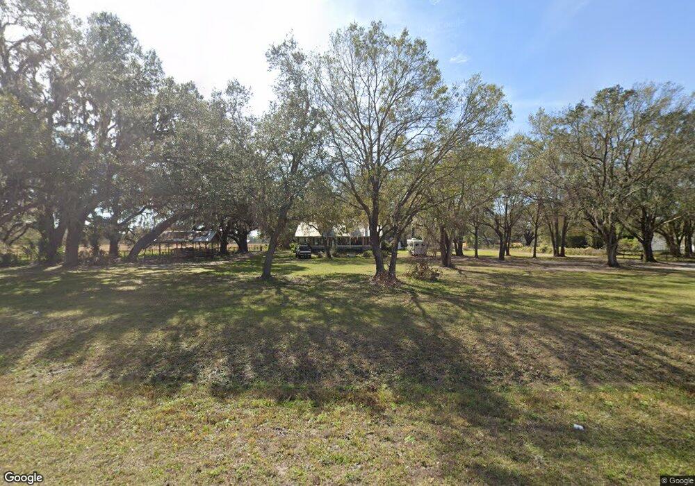
12975 County Road 675 Parrish, FL 34219
Estimated Value: $531,850 - $588,000
4
Beds
3
Baths
2,480
Sq Ft
$221/Sq Ft
Est. Value
About This Home
This home is located at 12975 County Road 675, Parrish, FL 34219 and is currently estimated at $547,963, approximately $220 per square foot. 12975 County Road 675 is a home located in Manatee County with nearby schools including Annie Lucy Williams Elementary School, Buffalo Creek Middle School, and Parrish Community High School.
Ownership History
Date
Name
Owned For
Owner Type
Purchase Details
Closed on
Oct 23, 2003
Sold by
Mimbs Duane and Mimbs Gwendolyn
Bought by
Mimbs Timothy D and Mimbs Leslee D
Current Estimated Value
Home Financials for this Owner
Home Financials are based on the most recent Mortgage that was taken out on this home.
Original Mortgage
$200,000
Outstanding Balance
$93,012
Interest Rate
6.16%
Estimated Equity
$454,951
Create a Home Valuation Report for This Property
The Home Valuation Report is an in-depth analysis detailing your home's value as well as a comparison with similar homes in the area
Home Values in the Area
Average Home Value in this Area
Purchase History
| Date | Buyer | Sale Price | Title Company |
|---|---|---|---|
| Mimbs Timothy D | -- | -- |
Source: Public Records
Mortgage History
| Date | Status | Borrower | Loan Amount |
|---|---|---|---|
| Open | Mimbs Timothy D | $200,000 |
Source: Public Records
Tax History
| Year | Tax Paid | Tax Assessment Tax Assessment Total Assessment is a certain percentage of the fair market value that is determined by local assessors to be the total taxable value of land and additions on the property. | Land | Improvement |
|---|---|---|---|---|
| 2025 | $2,309 | $198,742 | -- | -- |
| 2023 | $2,309 | $183,158 | $0 | $0 |
| 2022 | $2,233 | $177,823 | $0 | $0 |
| 2021 | $2,131 | $172,644 | $0 | $0 |
| 2020 | $2,128 | $170,260 | $0 | $0 |
| 2019 | $2,086 | $166,432 | $0 | $0 |
| 2018 | $2,058 | $163,329 | $0 | $0 |
| 2017 | $1,902 | $159,970 | $0 | $0 |
| 2016 | $1,892 | $156,680 | $0 | $0 |
Source: Public Records
Map
Nearby Homes
- 9925 Pier Point Terrace
- 3670 142nd Terrace E
- 3662 142nd Terrace E
- 3765 142nd Terrace E
- 17947 Wheat Stock Ct
- 3767 142nd Terrace E
- 17913 Wheat Stock Ct
- 3689 142nd Terrace E
- 17905 Wheat Stock Ct
- 17909 Wheat Stock Ct
- 3681 142nd Terrace E
- 3658 142nd Terrace E
- 17917 Wheat Stock Ct
- 3693 142nd Terrace E
- 3769 142nd Terrace E
- 17901 Wheat Stock Ct
- 17925 Wheat Stock Ct
- 3685 142nd Terrace E
- 3771 142nd Terrace E
- 3664 142nd Terrace E
- 12955 County Road 675
- 12905 County Road 675
- 12925 County Road 675
- 12805 County Road 675
- 9818 Pier Point Terrace
- 9834 Pier Point Terrace
- 9810 Pier Point Terrace
- 9814 Pier Point Terrace
- 9830 Pier Point Terrace
- 9822 Pier Point Terrace
- 9806 Pier Point Terrace
- 9826 Pier Point Terrace
- 9924 Pier Point Terrace
- 9815 Pier Point Terrace
- 9809 Pier Point Terrace
- 9908 Pier Point Terrace
- 9909 Pier Point Terrace
- 9912 Pier Point Terrace
- 9929 Pier Point Terrace
- 9821 Pier Point Terrace
Your Personal Tour Guide
Ask me questions while you tour the home.