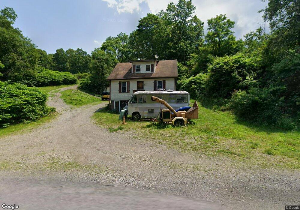
1298 Ash Rd Vandergrift, PA 15690
Estimated Value: $98,000 - $223,000
3
Beds
1
Bath
1,200
Sq Ft
$142/Sq Ft
Est. Value
About This Home
This home is located at 1298 Ash Rd, Vandergrift, PA 15690 and is currently estimated at $170,065, approximately $141 per square foot. 1298 Ash Rd is a home with nearby schools including Kiski Area High School.
Ownership History
Date
Name
Owned For
Owner Type
Purchase Details
Closed on
Feb 6, 2026
Sold by
Mcginnis Thomas J and Mcginnis Pamela A
Bought by
Mcginnis Thomas J and Mcginnis Pamela A
Current Estimated Value
Purchase Details
Closed on
Sep 25, 2020
Sold by
Lucas Barry
Bought by
Mcginnis Thomas J and Mcginnis Pamela A
Purchase Details
Closed on
Feb 7, 2007
Sold by
Lasalle Bank Na
Bought by
Lucas Barry
Home Financials for this Owner
Home Financials are based on the most recent Mortgage that was taken out on this home.
Original Mortgage
$49,112
Interest Rate
5.99%
Mortgage Type
FHA
Purchase Details
Closed on
Jul 28, 2006
Sold by
Neal Karen J
Bought by
Lasalle Bank Na
Purchase Details
Closed on
Jan 26, 2005
Sold by
Artman A Brice and Artman Helen I
Bought by
Neal Karen J
Home Financials for this Owner
Home Financials are based on the most recent Mortgage that was taken out on this home.
Original Mortgage
$102,000
Interest Rate
8.35%
Mortgage Type
Adjustable Rate Mortgage/ARM
Create a Home Valuation Report for This Property
The Home Valuation Report is an in-depth analysis detailing your home's value as well as a comparison with similar homes in the area
Home Values in the Area
Average Home Value in this Area
Purchase History
| Date | Buyer | Sale Price | Title Company |
|---|---|---|---|
| Mcginnis Thomas J | -- | None Listed On Document | |
| Mcginnis Thomas J | $49,112 | None Available | |
| Lucas Barry | $49,000 | None Available | |
| Lasalle Bank Na | $4,483 | None Available | |
| Neal Karen J | $120,000 | None Available |
Source: Public Records
Mortgage History
| Date | Status | Borrower | Loan Amount |
|---|---|---|---|
| Previous Owner | Lucas Barry | $49,112 | |
| Previous Owner | Neal Karen J | $102,000 |
Source: Public Records
Tax History
| Year | Tax Paid | Tax Assessment Tax Assessment Total Assessment is a certain percentage of the fair market value that is determined by local assessors to be the total taxable value of land and additions on the property. | Land | Improvement |
|---|---|---|---|---|
| 2025 | $2,531 | $33,990 | $22,190 | $11,800 |
| 2024 | $2,338 | $33,990 | $22,190 | $11,800 |
| 2023 | $2,264 | $33,990 | $22,190 | $11,800 |
| 2022 | $2,264 | $33,990 | $22,190 | $11,800 |
| 2021 | $2,261 | $33,990 | $22,190 | $11,800 |
| 2020 | $2,290 | $33,990 | $22,190 | $11,800 |
| 2019 | $2,288 | $33,990 | $22,190 | $11,800 |
| 2018 | $2,243 | $31,705 | $14,850 | $16,855 |
| 2017 | $2,192 | $33,990 | $22,190 | $11,800 |
| 2016 | $2,128 | $33,990 | $22,190 | $11,800 |
| 2015 | $2,045 | $33,990 | $22,190 | $11,800 |
| 2014 | $2,045 | $33,990 | $22,190 | $11,800 |
Source: Public Records
Map
Nearby Homes
- 1212 Gravel Bar Rd
- 139 Maple Dr
- 2280 Garretts Run Rd
- 28 Clark Ave
- 1116 Grant St
- 1252 Jefferson St
- 817 3rd St
- 820 Third Ave
- 247 Sherman Ave
- 137 Sherman Ave
- 133 Sherman Ave
- 107 Sumner Ave
- 0000 Sr-2060
- 122 Hamilton Ave
- 411 Center St
- 172 Franklin Ave
- Lot 7 McAuley Meadows Ln
- 114 Johnetta Rd
- 109 Washington Ave
- 166 Grant Ave
- 1326 Ash Rd
- 1102 Artman Ln
- 1338 Ash Rd
- 1309 Ridge Rd
- 1317 Ridge Rd
- 1345 Ash Rd
- 1319 Ridge Rd
- 1273 Hickory Rd
- 1320 Ridge Rd
- 1326 Ridge Rd
- 1273 Ridge Rd
- 1103 Eagles Nest Rd
- 1100 Eagles Nest Cir
- 1265 Ridge Rd
- 1379 Ash Rd
- 1100 Eagles Nest Rd
- 1125 Eagles Nest Rd
- 1131 Eagles Nest Rd
- 1261 Ridge Rd
- 0 Eagles Nest Unit 1072391
Your Personal Tour Guide
Ask me questions while you tour the home.