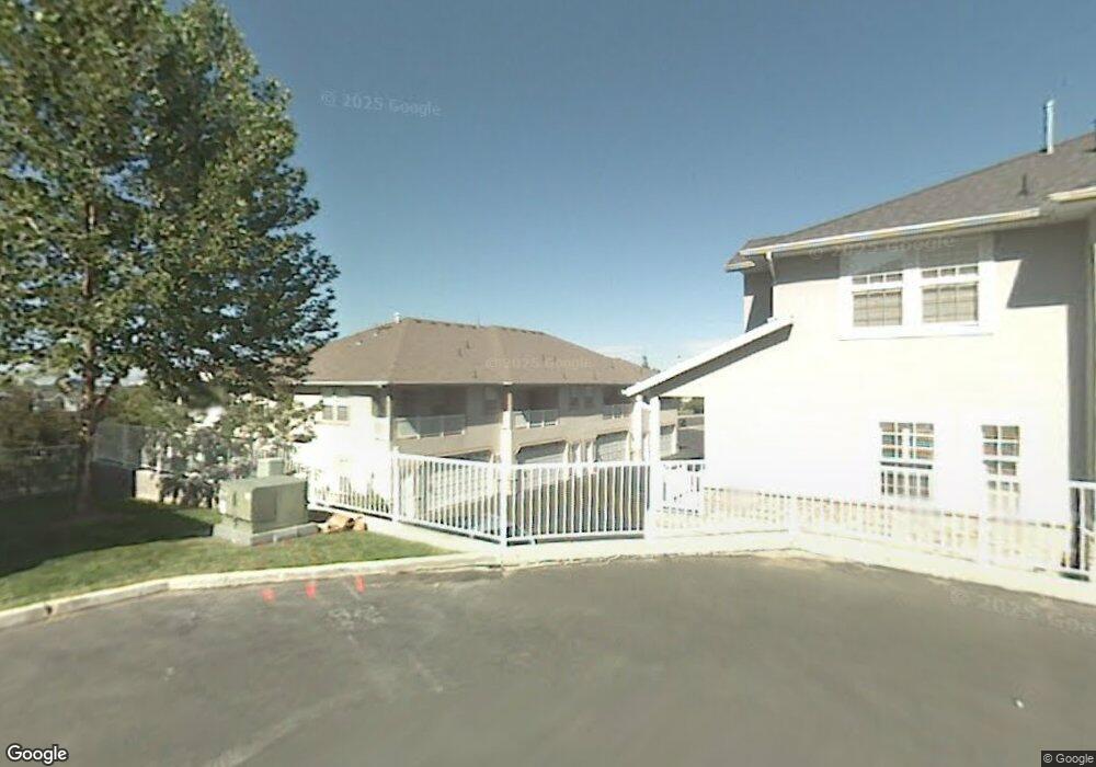
1298 E 670 N Provo, UT 84606
Foot Hills NeighborhoodEstimated Value: $485,214 - $521,000
3
Beds
2
Baths
2,244
Sq Ft
$224/Sq Ft
Est. Value
About This Home
This home is located at 1298 E 670 N, Provo, UT 84606 and is currently estimated at $501,738, approximately $223 per square foot. 1298 E 670 N is a home located in Utah County with nearby schools including Wasatch Elementary School, Centennial Middle School, and Timpview High School.
Ownership History
Date
Name
Owned For
Owner Type
Purchase Details
Closed on
Jan 31, 2024
Sold by
Wright Bryan K
Bought by
Wright Deann R
Current Estimated Value
Purchase Details
Closed on
Jul 26, 2002
Sold by
Wright Deann R
Bought by
Wright Bryan K and Wright Deann R
Purchase Details
Closed on
Feb 7, 1997
Sold by
North Ridge Company
Bought by
Wright Deann R
Home Financials for this Owner
Home Financials are based on the most recent Mortgage that was taken out on this home.
Original Mortgage
$160,000
Interest Rate
7.62%
Create a Home Valuation Report for This Property
The Home Valuation Report is an in-depth analysis detailing your home's value as well as a comparison with similar homes in the area
Home Values in the Area
Average Home Value in this Area
Purchase History
| Date | Buyer | Sale Price | Title Company |
|---|---|---|---|
| Wright Deann R | -- | None Listed On Document | |
| Wright Bryan K | -- | Old Republic Title Company | |
| Wright Deann R | -- | -- |
Source: Public Records
Mortgage History
| Date | Status | Borrower | Loan Amount |
|---|---|---|---|
| Previous Owner | Wright Deann R | $160,000 | |
| Closed | Wright Bryan K | $0 |
Source: Public Records
Tax History
| Year | Tax Paid | Tax Assessment Tax Assessment Total Assessment is a certain percentage of the fair market value that is determined by local assessors to be the total taxable value of land and additions on the property. | Land | Improvement |
|---|---|---|---|---|
| 2025 | $2,470 | $254,155 | -- | -- |
| 2024 | $2,470 | $243,100 | $0 | $0 |
| 2023 | $2,418 | $234,685 | $0 | $0 |
| 2022 | $2,596 | $253,990 | $0 | $0 |
| 2021 | $2,034 | $347,200 | $52,100 | $295,100 |
| 2020 | $2,115 | $338,400 | $44,000 | $294,400 |
| 2019 | $2,034 | $338,400 | $44,000 | $294,400 |
| 2018 | $2,005 | $338,400 | $42,000 | $296,400 |
| 2017 | $1,893 | $175,560 | $0 | $0 |
| 2016 | $1,935 | $167,200 | $0 | $0 |
| 2015 | $1,706 | $149,050 | $0 | $0 |
| 2014 | $1,421 | $129,415 | $0 | $0 |
Source: Public Records
Map
Nearby Homes
- 532 N Seven Peaks Blvd Unit 302
- 635 N Ridge Dr Unit 25
- 1215 N Terrace Dr
- 905 N Terrace Dr
- 1040 N Oakmont Ln
- 1051 E 300 N
- 907 E 820 N Unit 11
- 785 E 560 N Unit 405
- 1205 N Old Willow Ln
- 362 N 800 E
- 737 E 750 N Unit 1
- 864 E 200 N
- 990 Cedar Ave
- 1411 N Locust Ln
- 541 E 500 N Unit 12
- 386 N 500 E
- 364 N 500 E
- 240 N 500 East St
- 1005 E 300 S
- 919 E 300 S
- 1294 E 670 N
- 1304 E 670 N
- 1304 E 670 N Unit 35
- 1308 E 670 N Unit 36
- 1308 E 670 N
- 1297 E 670 N
- 1297 E 670 N Unit 29
- 1301 E 670 N
- 1301 E 670 N Unit 30
- 1305 E 670 N Unit 31
- 1305 E 670 N
- 1309 E 670 N Unit 32
- 1309 E 670 N
- 1289 E 670 N
- 1289 E 670 N Unit 28
- 1314 E 660 N
- 1285 E 670 N Unit 27
- 1285 E 670 N
- 1281 E 670 N Unit 26
- 1278 E 610 N
Your Personal Tour Guide
Ask me questions while you tour the home.