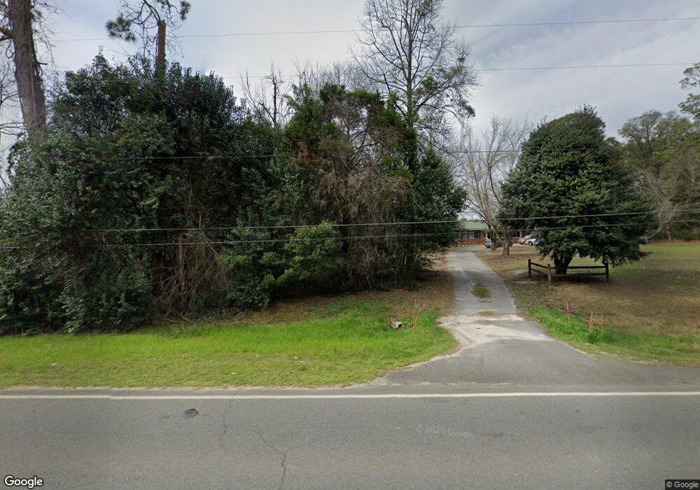
1298 Ga Highway 49 S Oglethorpe, GA 31068
Estimated Value: $133,000 - $219,000
--
Bed
--
Bath
1,892
Sq Ft
$97/Sq Ft
Est. Value
About This Home
This home is located at 1298 Ga Highway 49 S, Oglethorpe, GA 31068 and is currently estimated at $184,214, approximately $97 per square foot. 1298 Ga Highway 49 S is a home with nearby schools including Macon County Elementary School, Macon County Middle School, and Macon County High School.
Ownership History
Date
Name
Owned For
Owner Type
Purchase Details
Closed on
Dec 23, 2010
Sold by
Robins Federal Credit Union
Bought by
Abbott Isabelle
Current Estimated Value
Home Financials for this Owner
Home Financials are based on the most recent Mortgage that was taken out on this home.
Original Mortgage
$9,962
Interest Rate
4.4%
Mortgage Type
Purchase Money Mortgage
Purchase Details
Closed on
Feb 11, 2005
Sold by
West Ruby J
Bought by
Simpson George A
Home Financials for this Owner
Home Financials are based on the most recent Mortgage that was taken out on this home.
Original Mortgage
$84,075
Interest Rate
5.68%
Mortgage Type
New Conventional
Purchase Details
Closed on
Aug 22, 1995
Sold by
Derrington Virginia
Bought by
West Robert G and West Rub
Purchase Details
Closed on
Dec 2, 1991
Sold by
Williams Marguerite
Bought by
Derrington Virginia
Purchase Details
Closed on
Jan 1, 1959
Bought by
Williams Marguerite
Create a Home Valuation Report for This Property
The Home Valuation Report is an in-depth analysis detailing your home's value as well as a comparison with similar homes in the area
Home Values in the Area
Average Home Value in this Area
Purchase History
| Date | Buyer | Sale Price | Title Company |
|---|---|---|---|
| Abbott Isabelle | $39,950 | -- | |
| Simpson George A | $88,500 | -- | |
| West Robert G | $63,500 | -- | |
| Derrington Virginia | $47,500 | -- | |
| Williams Marguerite | -- | -- |
Source: Public Records
Mortgage History
| Date | Status | Borrower | Loan Amount |
|---|---|---|---|
| Closed | Abbott Isabelle | $9,962 | |
| Previous Owner | Simpson George A | $84,075 |
Source: Public Records
Tax History Compared to Growth
Tax History
| Year | Tax Paid | Tax Assessment Tax Assessment Total Assessment is a certain percentage of the fair market value that is determined by local assessors to be the total taxable value of land and additions on the property. | Land | Improvement |
|---|---|---|---|---|
| 2024 | $1,896 | $67,524 | $4,300 | $63,224 |
| 2023 | $1,896 | $67,524 | $4,300 | $63,224 |
| 2022 | $1,407 | $50,115 | $4,300 | $45,815 |
| 2021 | $907 | $31,313 | $5,500 | $25,813 |
| 2020 | $893 | $30,809 | $5,500 | $25,309 |
| 2019 | $893 | $30,809 | $5,500 | $25,309 |
| 2018 | $896 | $30,809 | $5,500 | $25,309 |
| 2017 | $903 | $30,809 | $5,500 | $25,309 |
| 2016 | $903 | $30,809 | $5,500 | $25,309 |
| 2015 | -- | $32,681 | $5,500 | $27,181 |
| 2014 | -- | $32,681 | $5,500 | $27,181 |
| 2013 | -- | $32,681 | $5,500 | $27,181 |
Source: Public Records
Map
Nearby Homes
- 562 W Anderson St
- 432 Clifton Bradley Dr
- Whitewater Rd
- Whitewater Rd
- 0 Georgia 49
- 204 Jordan St
- 45 Oakwood Dr
- 4265 Georgia 49
- 110 Head Rd Unit LotWP001
- 2668 Coogle Rd
- 511 Forsyth St
- 326 N Dooly St
- 103 E Artesian Ave
- 399 Travelers Rest Rd
- 100 Minor Ave
- 416 Engram St
- 514 Patricia Dr
- 504 Patricia Dr
- 510 Patricia Dr
- 202 Minor Ave
- 1220 Ga Highway 49 S
- 1220 S 49 Hwy
- 1143 Ga Highway 49 S
- 199 May Rd
- 201 May Rd
- 197 May Rd
- 203 May Rd
- 205 May Rd
- 0 May Rd Unit 8048112
- 1564 S Ga Highway 49 Rd S
- 215 May Rd
- 1045 Ga Highway 49 S
- 21 Jack Rd
- 214 May Rd
- 69 George Rd
- 1638 Ga Highway 49 S
- 116 Brookstone Dr
- 219 May Rd
- 1674 Ga Highway 49 S
- 37 Jack Rd