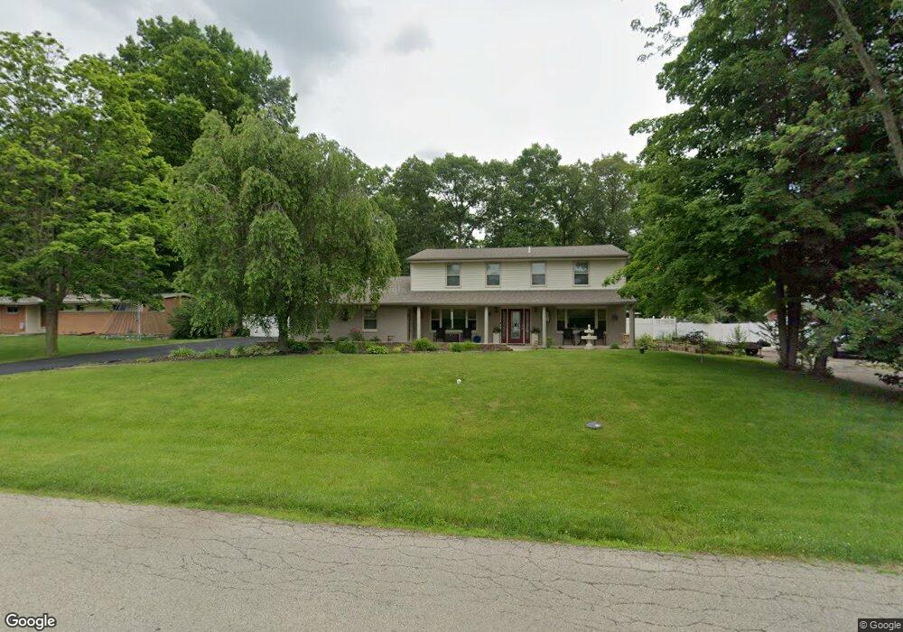
1298 LeMcKe Rd Beavercreek, OH 45434
Estimated Value: $367,000 - $450,000
5
Beds
3
Baths
3,450
Sq Ft
$121/Sq Ft
Est. Value
About This Home
This home is located at 1298 LeMcKe Rd, Beavercreek, OH 45434 and is currently estimated at $417,274, approximately $120 per square foot. 1298 LeMcKe Rd is a home located in Greene County with nearby schools including Main Elementary School, Jacob Coy Middle School, and Beavercreek High School.
Ownership History
Date
Name
Owned For
Owner Type
Purchase Details
Closed on
Nov 12, 2019
Sold by
Meale Chanthary
Bought by
Meale Massimo and Meale Chanthary
Current Estimated Value
Home Financials for this Owner
Home Financials are based on the most recent Mortgage that was taken out on this home.
Original Mortgage
$125,000
Interest Rate
3.5%
Mortgage Type
New Conventional
Purchase Details
Closed on
Jan 28, 2005
Sold by
Stump Marc D and Stump Jean E
Bought by
Meale Chanthary
Home Financials for this Owner
Home Financials are based on the most recent Mortgage that was taken out on this home.
Original Mortgage
$130,320
Interest Rate
5.8%
Mortgage Type
Unknown
Purchase Details
Closed on
Mar 11, 2003
Sold by
Stump Maxine
Bought by
Stump Marc D
Create a Home Valuation Report for This Property
The Home Valuation Report is an in-depth analysis detailing your home's value as well as a comparison with similar homes in the area
Home Values in the Area
Average Home Value in this Area
Purchase History
| Date | Buyer | Sale Price | Title Company |
|---|---|---|---|
| Meale Massimo | -- | Hallmark Title | |
| Meale Chanthary | $162,900 | -- | |
| Stump Marc D | -- | -- |
Source: Public Records
Mortgage History
| Date | Status | Borrower | Loan Amount |
|---|---|---|---|
| Previous Owner | Meale Massimo | $125,000 | |
| Previous Owner | Meale Chanthary | $130,320 |
Source: Public Records
Tax History Compared to Growth
Tax History
| Year | Tax Paid | Tax Assessment Tax Assessment Total Assessment is a certain percentage of the fair market value that is determined by local assessors to be the total taxable value of land and additions on the property. | Land | Improvement |
|---|---|---|---|---|
| 2024 | $7,387 | $113,100 | $16,690 | $96,410 |
| 2023 | $7,387 | $113,100 | $16,690 | $96,410 |
| 2022 | $6,480 | $87,580 | $11,920 | $75,660 |
| 2021 | $6,349 | $87,580 | $11,920 | $75,660 |
| 2020 | $6,397 | $87,580 | $11,920 | $75,660 |
| 2019 | $6,261 | $78,090 | $11,450 | $66,640 |
| 2018 | $5,528 | $78,090 | $11,450 | $66,640 |
| 2017 | $3,151 | $78,090 | $11,450 | $66,640 |
| 2016 | $5,702 | $78,190 | $11,450 | $66,740 |
| 2015 | $5,668 | $78,190 | $11,450 | $66,740 |
| 2014 | $7,053 | $78,190 | $11,450 | $66,740 |
Source: Public Records
Map
Nearby Homes
- 1359 Fudge Dr
- 2853 Oriole Dr
- 1482 Fudge Dr
- 2938 Bruce Ct
- 5 Hickory Dr
- 1210 Lomeda Ln
- 2507 Obetz Dr
- 1051 Forest Dr
- 2570 Mardella Dr
- 2162 Owen E
- 2418 Owen W
- 1520 Hillside Dr
- 1361 Obetz Dr Unit A
- 1394 Crown Point Ct
- 2331 Eastwind Dr
- 2245 Tourney Trail
- 3178 Lantz Rd
- 2721 Sky Crossing Dr
- 3050 Viola Dr
- 1535 Stretch Dr