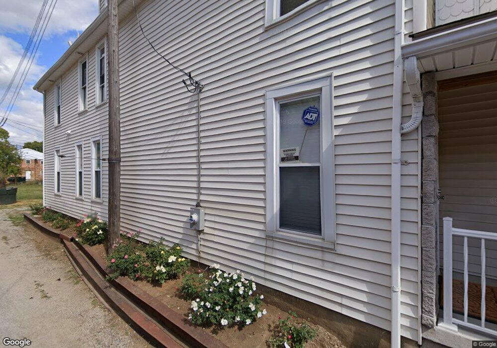
1298 Oak St Columbus, OH 43205
Franklin Park NeighborhoodEstimated Value: $291,218 - $477,000
4
Beds
2
Baths
1,862
Sq Ft
$196/Sq Ft
Est. Value
About This Home
This home is located at 1298 Oak St, Columbus, OH 43205 and is currently estimated at $365,555, approximately $196 per square foot. 1298 Oak St is a home located in Franklin County with nearby schools including Ohio Avenue Elementary School, Champion Middle School, and East High School.
Ownership History
Date
Name
Owned For
Owner Type
Purchase Details
Closed on
Aug 23, 2005
Sold by
Shepherd Dotis and Shepherd Ruby Lee
Bought by
Shepherd Daniel Darrell
Current Estimated Value
Purchase Details
Closed on
Jul 22, 2005
Sold by
Shepherd Dotis and Shepherd Ruby Lee
Bought by
Shepherd Dotis and Shepherd Ruby Lee
Purchase Details
Closed on
Apr 12, 1983
Bought by
Shepherd D Otis
Create a Home Valuation Report for This Property
The Home Valuation Report is an in-depth analysis detailing your home's value as well as a comparison with similar homes in the area
Home Values in the Area
Average Home Value in this Area
Purchase History
| Date | Buyer | Sale Price | Title Company |
|---|---|---|---|
| Shepherd Daniel Darrell | -- | -- | |
| Shepherd Dotis | -- | -- | |
| Shepherd D Otis | -- | -- |
Source: Public Records
Tax History
| Year | Tax Paid | Tax Assessment Tax Assessment Total Assessment is a certain percentage of the fair market value that is determined by local assessors to be the total taxable value of land and additions on the property. | Land | Improvement |
|---|---|---|---|---|
| 2025 | $3,684 | $82,080 | $27,370 | $54,710 |
| 2024 | $3,684 | $82,080 | $27,370 | $54,710 |
| 2023 | $3,637 | $82,075 | $27,370 | $54,705 |
| 2022 | $4,115 | $79,350 | $4,450 | $74,900 |
| 2021 | $4,123 | $79,350 | $4,450 | $74,900 |
| 2020 | $4,128 | $79,350 | $4,450 | $74,900 |
| 2019 | $334 | $5,500 | $3,570 | $1,930 |
| 2018 | $113 | $3,720 | $2,490 | $1,230 |
| 2017 | $226 | $3,720 | $2,490 | $1,230 |
| 2016 | $520 | $7,010 | $2,770 | $4,240 |
| 2015 | $239 | $7,010 | $2,770 | $4,240 |
| 2014 | $429 | $7,010 | $2,770 | $4,240 |
| 2013 | $319 | $8,925 | $2,765 | $6,160 |
Source: Public Records
Map
Nearby Homes
- 138 Wilson Ave
- 164 Wilson Ave
- 1258 Oak St
- 1319 Madison Ave
- 1179 Franklin Ave
- 838 Bryden Rd
- 1170 Bryden Rd
- 1117 Franklin Ave Unit 1119
- 122 S Ohio Ave Unit 2
- 347 Kendall Place
- 155 S Ohio Ave
- 939 E Rich St
- 1469 E Rich St
- 1456-1458 Bryden Rd
- 1174 E Rich St Unit 1172-1174
- 336 Loeffler Ave
- 1097 Franklin Ave
- 39 Auburn Ave
- 266 Miller Ave Unit 268
- 1093 Franklin Ave
- 1304 Oak St
- 1308 Oak St
- 1310 Oak St
- 159 Linwood Ave
- 1282 Oak St
- 1284 Oak St
- 1291 Oak St
- 1291 Oak St Unit Olde Towne East
- 1305 Oak St Unit 105
- 1305 Oak St Unit 103
- 1305 Oak St
- 160 Wilson Ave
- 156 Wilson Ave
- 150 Wilson Ave
- 1322 Oak St Unit 322
- 1285 Oak St
- 1295 Kutchins Place
- 1309 Oak St
- 144 Wilson Ave Unit Furnished 3BR 2.5 BA
- 144 Wilson Ave
Your Personal Tour Guide
Ask me questions while you tour the home.