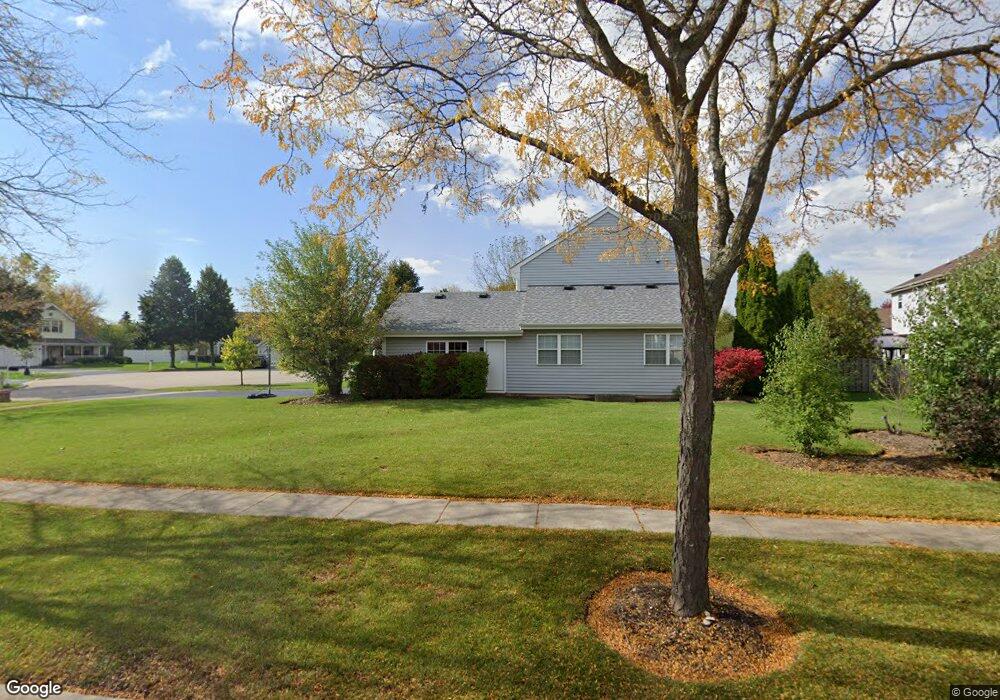
1298 Westport Ridge Ct Crystal Lake, IL 60014
Estimated Value: $395,521 - $425,000
--
Bed
1
Bath
2,320
Sq Ft
$178/Sq Ft
Est. Value
About This Home
This home is located at 1298 Westport Ridge Ct, Crystal Lake, IL 60014 and is currently estimated at $412,630, approximately $177 per square foot. 1298 Westport Ridge Ct is a home with nearby schools including Indian Prairie Elementary School, Lundahl Middle School, and Crystal Lake South High School.
Ownership History
Date
Name
Owned For
Owner Type
Purchase Details
Closed on
Jun 15, 1994
Sold by
Westholme Partners
Bought by
Luken Christopher S and Luken Janet L
Current Estimated Value
Home Financials for this Owner
Home Financials are based on the most recent Mortgage that was taken out on this home.
Original Mortgage
$141,300
Interest Rate
8.61%
Create a Home Valuation Report for This Property
The Home Valuation Report is an in-depth analysis detailing your home's value as well as a comparison with similar homes in the area
Home Values in the Area
Average Home Value in this Area
Purchase History
| Date | Buyer | Sale Price | Title Company |
|---|---|---|---|
| Luken Christopher S | $177,000 | First American Title Insuran |
Source: Public Records
Mortgage History
| Date | Status | Borrower | Loan Amount |
|---|---|---|---|
| Closed | Luken Christopher S | $141,300 |
Source: Public Records
Tax History Compared to Growth
Tax History
| Year | Tax Paid | Tax Assessment Tax Assessment Total Assessment is a certain percentage of the fair market value that is determined by local assessors to be the total taxable value of land and additions on the property. | Land | Improvement |
|---|---|---|---|---|
| 2024 | $9,177 | $116,397 | $24,811 | $91,586 |
| 2023 | $8,849 | $104,102 | $22,190 | $81,912 |
| 2022 | $9,400 | $105,240 | $26,402 | $78,838 |
| 2021 | $8,889 | $98,044 | $24,597 | $73,447 |
| 2020 | $8,665 | $94,573 | $23,726 | $70,847 |
| 2019 | $8,437 | $90,518 | $22,709 | $67,809 |
| 2018 | $7,905 | $83,619 | $20,978 | $62,641 |
| 2017 | $7,856 | $78,775 | $19,763 | $59,012 |
| 2016 | $7,656 | $73,884 | $18,536 | $55,348 |
| 2013 | -- | $69,995 | $17,292 | $52,703 |
Source: Public Records
Map
Nearby Homes
- 1391 Acadia Cir
- 1420 Trailwood Dr
- 1421 Acadia Cir
- 1451 Acadia Cir
- 1441 Acadia Cir
- 1549 Brompton Ln
- 518 Silver Aspen Cir
- 1549 Hollytree Ln Unit 2
- 796 Waterford Cut
- 542 Silver Aspen Cir
- 1542 Candlewood Dr
- 1201 Boxwood Dr
- 645 Kendallwood Ct
- 1655 Kennsington Ln
- 1668 Penn Ct Unit A
- 1644 Stockton Ln
- 894 N Brentwood Dr
- 929 Golf Course Rd Unit 4
- 1694 Penny Ln Unit A
- 1013 Nottingham Ln
- 645 Barton Ln
- 1300 Westport Ridge Ct
- 653 Barton Ln
- 1297 Westport Ridge
- 1293 Westport Ridge
- 1301 Westport Ridge
- 675 Barton Ln
- 1302 Westport Ridge Ct
- 650 Barton Ln
- 1306 Westport Ridge Ct
- 1289 Westport Ridge
- 1304 Westport Ridge Ct
- 1308 Westport Ridge Ct
- 1305 Westport Ridge
- 704 Regent Dr
- 1309 Westport Ridge
- 1309 Westport Ridge Ct
- 681 Barton Ln
- 674 Barton Ln
- 1285 Westport Ridge