12980 Cassie Ln Chesterland, OH 44026
Estimated Value: $413,000 - $512,000
3
Beds
3
Baths
2,603
Sq Ft
$178/Sq Ft
Est. Value
About This Home
This home is located at 12980 Cassie Ln, Chesterland, OH 44026 and is currently estimated at $462,487, approximately $177 per square foot. 12980 Cassie Ln is a home located in Geauga County with nearby schools including West Geauga High School, St Anselm School, and Notre Dame Elementary School.
Ownership History
Date
Name
Owned For
Owner Type
Purchase Details
Closed on
Jun 9, 2021
Sold by
Pvc Engineering Inc
Bought by
Schindler Rachael Dawn and Schindler David
Current Estimated Value
Purchase Details
Closed on
Dec 15, 2020
Sold by
Kessler Karl and Max G Savickas Revocable Trust
Bought by
Pvc Engirneering Inc
Purchase Details
Closed on
Sep 11, 2018
Sold by
Savickas Max G
Bought by
Savickas Max G and Max G Savickas Revocable Trust
Purchase Details
Closed on
Aug 8, 1994
Sold by
R L Design Builders Inc
Bought by
Savickas Max G
Home Financials for this Owner
Home Financials are based on the most recent Mortgage that was taken out on this home.
Original Mortgage
$184,700
Interest Rate
3.99%
Mortgage Type
New Conventional
Create a Home Valuation Report for This Property
The Home Valuation Report is an in-depth analysis detailing your home's value as well as a comparison with similar homes in the area
Home Values in the Area
Average Home Value in this Area
Purchase History
| Date | Buyer | Sale Price | Title Company |
|---|---|---|---|
| Schindler Rachael Dawn | $250,000 | None Available | |
| Pvc Engirneering Inc | $328,000 | None Available | |
| Savickas Max G | -- | None Available | |
| Savickas Max G | $287,700 | -- |
Source: Public Records
Mortgage History
| Date | Status | Borrower | Loan Amount |
|---|---|---|---|
| Previous Owner | Savickas Max G | $184,700 |
Source: Public Records
Tax History Compared to Growth
Tax History
| Year | Tax Paid | Tax Assessment Tax Assessment Total Assessment is a certain percentage of the fair market value that is determined by local assessors to be the total taxable value of land and additions on the property. | Land | Improvement |
|---|---|---|---|---|
| 2024 | $6,753 | $152,780 | $39,450 | $113,330 |
| 2023 | $6,753 | $152,780 | $39,450 | $113,330 |
| 2022 | $5,916 | $114,800 | $32,900 | $81,900 |
| 2021 | $5,897 | $114,800 | $32,900 | $81,900 |
| 2020 | $5,552 | $114,800 | $32,900 | $81,900 |
| 2019 | $5,600 | $112,070 | $32,900 | $79,170 |
| 2018 | $5,555 | $112,070 | $32,900 | $79,170 |
| 2017 | $5,600 | $112,070 | $32,900 | $79,170 |
| 2016 | $5,548 | $105,360 | $38,400 | $66,960 |
| 2015 | $5,139 | $105,360 | $38,400 | $66,960 |
| 2014 | $5,139 | $105,360 | $38,400 | $66,960 |
| 2013 | $5,763 | $105,360 | $38,400 | $66,960 |
Source: Public Records
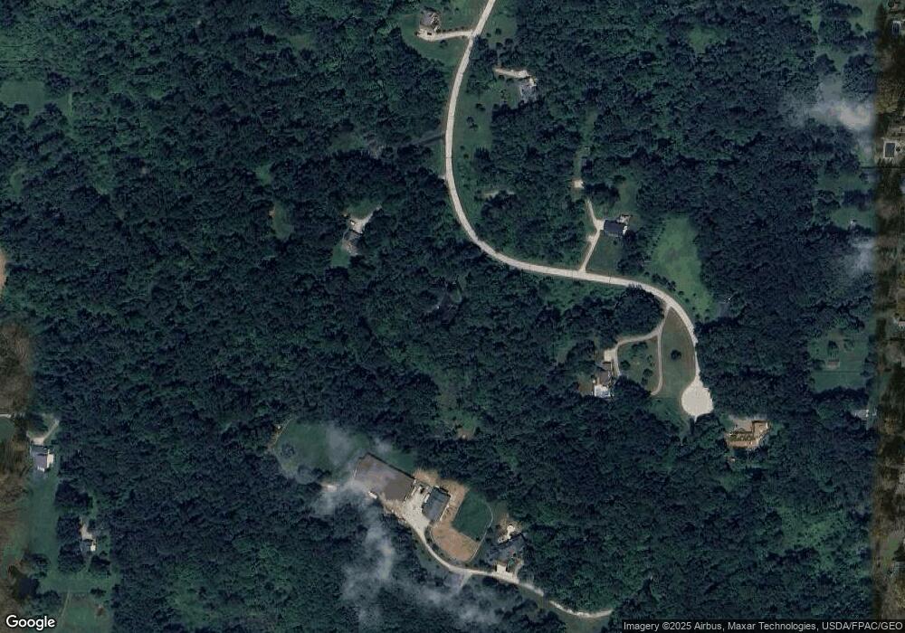
Map
Nearby Homes
- 9475 Mayfield Rd
- 9502 Winchester Valley
- 12790 Heath Rd
- 9448 Mayfield Rd
- 8949 Ranch Dr
- 8701 Mayfield Rd Unit 194
- 13610 Sperry Rd
- 8735 Cedar Rd
- 13655 Sperry Rd
- 8547 Camelot Dr
- 10263 Wye Rd
- 0 Cedar Rd
- 8986 Fairmount Rd
- 12084 Heath Rd
- 13031 Dorothy Dr
- 9610 Wilson Mills Rd
- 9710 Wilson Mills Rd
- 13228 Boulder Glen Dr
- 10571 Mayfield Rd
- 11865 Africa Acres Dr
- 12950 Cassie Ln
- 13000 Cassie Ln
- 13005 Cassie Ln
- 12900 Cassie Ln
- 12965 Cassie Ln
- 12905 Cassie Ln
- 12995 Cassie Ln
- 12870 Cassie Ln
- 13015 Cassie Ln
- 9335 Mayfield Rd
- 13031 Sperry Rd
- 13005 Sperry Rd
- 12962 Kenyon Dr
- 12970 Kenyon Dr
- 12980 Kenyon Dr
- 12954 Kenyon Dr
- 12990 Kenyon Dr
- 12940 Kenyon Dr
- 12855 Cassie Ln
- 13000 Kenyon Dr