Estimated Value: $1,049,000 - $1,260,429
4
Beds
3
Baths
2,960
Sq Ft
$390/Sq Ft
Est. Value
About This Home
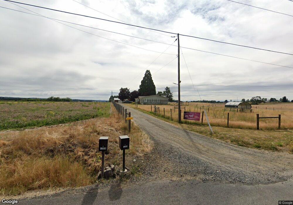
This home is located at 12980 NW Aerts Rd, Banks, OR 97106 and is currently estimated at $1,154,715, approximately $390 per square foot. 12980 NW Aerts Rd is a home located in Washington County with nearby schools including Banks Elementary School, Banks Middle School, and Banks High School.
Ownership History
Date
Name
Owned For
Owner Type
Purchase Details
Closed on
Jun 23, 2010
Sold by
Herb Robin L and Herb Michael R
Bought by
Verhoorn Frank C and Edge Kathleen C
Current Estimated Value
Home Financials for this Owner
Home Financials are based on the most recent Mortgage that was taken out on this home.
Original Mortgage
$375,000
Outstanding Balance
$250,585
Interest Rate
4.91%
Mortgage Type
New Conventional
Estimated Equity
$904,130
Create a Home Valuation Report for This Property
The Home Valuation Report is an in-depth analysis detailing your home's value as well as a comparison with similar homes in the area
Home Values in the Area
Average Home Value in this Area
Purchase History
| Date | Buyer | Sale Price | Title Company |
|---|---|---|---|
| Verhoorn Frank C | $595,000 | Pacific Northwest Title Of O |
Source: Public Records
Mortgage History
| Date | Status | Borrower | Loan Amount |
|---|---|---|---|
| Open | Verhoorn Frank C | $375,000 |
Source: Public Records
Tax History Compared to Growth
Tax History
| Year | Tax Paid | Tax Assessment Tax Assessment Total Assessment is a certain percentage of the fair market value that is determined by local assessors to be the total taxable value of land and additions on the property. | Land | Improvement |
|---|---|---|---|---|
| 2025 | $9,750 | $693,640 | -- | -- |
| 2024 | $8,676 | $674,590 | -- | -- |
| 2023 | $8,676 | $654,080 | $0 | $0 |
| 2022 | $8,457 | $654,080 | $0 | $0 |
| 2021 | $8,235 | $617,710 | $0 | $0 |
| 2020 | $7,991 | $599,850 | $0 | $0 |
| 2019 | $7,644 | $582,510 | $0 | $0 |
| 2018 | $7,446 | $565,670 | $0 | $0 |
| 2017 | $6,924 | $535,670 | $0 | $0 |
| 2016 | $6,847 | $520,200 | $0 | $0 |
| 2015 | $6,217 | $478,730 | $0 | $0 |
| 2014 | $5,992 | $458,120 | $0 | $0 |
Source: Public Records
Map
Nearby Homes
- 12734 NW Hammond Place
- 41637 NW Buckshire St
- 41710 NW Oak Way
- 41753 NW Buckshire St
- 42015 NW Buckshire St
- 42002 NW Elmhurst Ct
- 42098 NW Broadshire Ln
- 42371 NW Banks Rd
- 0 NW Lodge Rd
- 48025 NW Strohmayer Rd
- 0 NW Green Mountain Rd Unit 1 23320324
- 0 NW Green Mountain Rd Unit 24253646
- 17034 NW Corey Rd
- 36303 NW 3 Cedars Ln
- 16253 NW Old Pumpkin Ridge Rd
- 16241 NW Old Pumpkin Ridge Rd
- 11289 NW 325th Ave
- 9946 NW 326th Place
- 0 NW Dairy Creek Rd
- 15502 NW Old Pumpkin Ridge Rd
- 12590 NW Aerts Rd
- 0 NW Aerts Rd Unit 10035709
- 0 NW Aerts Rd
- 40755 NW Washington Ave
- 12345 NW Aerts Rd
- 40800 NW Washington Ave
- 40677 NW Pacific Ave
- 40695 NW Pacific Ave
- 40805 NW Pacific Ave
- 40995 NW Washington Ave
- 12175 NW Aerts Rd
- 40960 NW Washington Ave
- 40020 NW Banks Rd
- 40121 NW Mountaindale Rd
- 41108 NW Washington Ave
- 41010 NW Pacific Ave
- 40835 NW Wilkesboro Rd
- 40650 NW Wilkesboro Rd
- 40030 NW Banks Rd
- 41262 NW Washington Ave