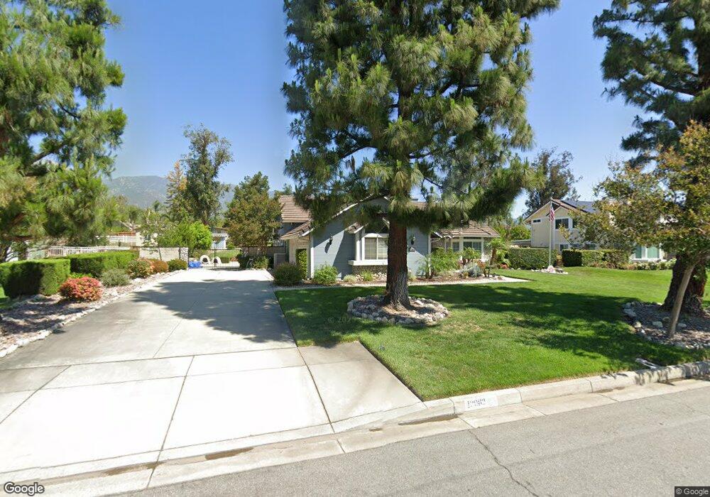
12982 Cherokee Rd Rancho Cucamonga, CA 91739
Etiwanda NeighborhoodEstimated Value: $864,000 - $1,245,000
4
Beds
3
Baths
2,110
Sq Ft
$499/Sq Ft
Est. Value
About This Home
This home is located at 12982 Cherokee Rd, Rancho Cucamonga, CA 91739 and is currently estimated at $1,053,718, approximately $499 per square foot. 12982 Cherokee Rd is a home located in San Bernardino County with nearby schools including Etiwanda Colony Elementary, Summit Intermediate, and Etiwanda High.
Ownership History
Date
Name
Owned For
Owner Type
Purchase Details
Closed on
Mar 18, 1997
Sold by
Brainard Lyman and Brainard Jo Ann
Bought by
Spencer John L and Spencer Jackie A
Current Estimated Value
Home Financials for this Owner
Home Financials are based on the most recent Mortgage that was taken out on this home.
Original Mortgage
$149,900
Outstanding Balance
$17,888
Interest Rate
7.56%
Estimated Equity
$1,035,830
Purchase Details
Closed on
Aug 26, 1995
Sold by
Brainard Lyman David
Bought by
Brainard Lyman David and Brainard Jo Ann
Create a Home Valuation Report for This Property
The Home Valuation Report is an in-depth analysis detailing your home's value as well as a comparison with similar homes in the area
Home Values in the Area
Average Home Value in this Area
Purchase History
| Date | Buyer | Sale Price | Title Company |
|---|---|---|---|
| Spencer John L | $250,000 | First American Title Ins Co | |
| Brainard Lyman David | -- | -- |
Source: Public Records
Mortgage History
| Date | Status | Borrower | Loan Amount |
|---|---|---|---|
| Open | Spencer John L | $149,900 |
Source: Public Records
Tax History
| Year | Tax Paid | Tax Assessment Tax Assessment Total Assessment is a certain percentage of the fair market value that is determined by local assessors to be the total taxable value of land and additions on the property. | Land | Improvement |
|---|---|---|---|---|
| 2025 | $4,789 | $407,006 | $100,977 | $306,029 |
| 2024 | $4,665 | $399,025 | $98,997 | $300,028 |
| 2023 | $4,560 | $391,201 | $97,056 | $294,145 |
| 2022 | $4,511 | $383,530 | $95,153 | $288,377 |
| 2021 | $4,439 | $376,010 | $93,287 | $282,723 |
| 2020 | $4,384 | $372,154 | $92,330 | $279,824 |
| 2019 | $4,271 | $364,857 | $90,520 | $274,337 |
| 2018 | $4,399 | $357,703 | $88,745 | $268,958 |
| 2017 | $4,292 | $350,689 | $87,005 | $263,684 |
| 2016 | $4,184 | $343,813 | $85,299 | $258,514 |
| 2015 | $4,159 | $338,649 | $84,018 | $254,631 |
| 2014 | $4,060 | $332,015 | $82,372 | $249,643 |
Source: Public Records
Map
Nearby Homes
- 13013 Cherokee Rd
- 6575 Etiwanda Ave
- 6364 Hidden Brook Place
- 6378 East Ave
- 6584 Elderberry Ct
- 13031 Vista St
- 12498 High Horse Dr
- 12732 Arena Dr
- 13347 Highstone Manor Ct
- 6336 Sloane Ct
- 12759 E Rancho Estates Place
- 13123 Carriage Trail Ct
- 13383 Hunt Club Dr
- 5810 Etiwanda Ave
- 13548 Smokestone St
- 0 East Ave Unit DW26063764
- 13705 Copley Dr
- 13715 Copley Dr
- 12274 Daisy Ct
- 12283 Mint Ct
- 12998 Cherokee Rd
- 12966 Cherokee Rd
- 13014 Cherokee Rd
- 12950 Cherokee Rd
- 12997 Blue Gum Dr
- 13015 Blue Gum Dr
- 6267 Blue Gum Ct
- 12981 Cherokee Rd
- 13031 Blue Gum Dr
- 12997 Cherokee Rd
- 6271 Blue Gum Ct
- 12965 Cherokee Rd
- 13030 Cherokee Rd
- 12934 Cherokee Rd
- 12949 Cherokee Rd
- 13047 Blue Gum Dr
- 6255 Blue Gum Ct
- 13029 Cherokee Rd
- 13062 Cherokee Rd
- 13046 Cherokee Rd
Your Personal Tour Guide
Ask me questions while you tour the home.