12987 McDonald Rd West Fork, AR 72774
Estimated Value: $108,753 - $455,000
--
Bed
1
Bath
700
Sq Ft
$388/Sq Ft
Est. Value
About This Home
This home is located at 12987 McDonald Rd, West Fork, AR 72774 and is currently estimated at $271,438, approximately $387 per square foot. 12987 McDonald Rd is a home with nearby schools including West Fork Elementary School, West Fork Middle School, and West Fork High School.
Ownership History
Date
Name
Owned For
Owner Type
Purchase Details
Closed on
Jan 18, 2015
Bought by
Zahidi
Current Estimated Value
Purchase Details
Closed on
Aug 5, 1991
Bought by
Wilson Harold J
Purchase Details
Closed on
Jul 23, 1987
Bought by
Davis Allie B
Purchase Details
Closed on
Apr 17, 1987
Bought by
Sheppard Woody and Sheppard Jeannette
Purchase Details
Closed on
Jan 1, 1985
Bought by
Ball Paul J
Create a Home Valuation Report for This Property
The Home Valuation Report is an in-depth analysis detailing your home's value as well as a comparison with similar homes in the area
Home Values in the Area
Average Home Value in this Area
Purchase History
| Date | Buyer | Sale Price | Title Company |
|---|---|---|---|
| Zahidi | -- | -- | |
| Wilson Harold J | $20,000 | -- | |
| Davis Allie B | $1,000 | -- | |
| Sheppard Woody | $1,000 | -- | |
| Ball Paul J | -- | -- |
Source: Public Records
Tax History Compared to Growth
Tax History
| Year | Tax Paid | Tax Assessment Tax Assessment Total Assessment is a certain percentage of the fair market value that is determined by local assessors to be the total taxable value of land and additions on the property. | Land | Improvement |
|---|---|---|---|---|
| 2025 | $346 | $13,750 | $9,030 | $4,720 |
| 2024 | $320 | $13,750 | $9,030 | $4,720 |
| 2023 | $294 | $13,750 | $9,030 | $4,720 |
| 2022 | $317 | $5,560 | $2,530 | $3,030 |
| 2021 | $299 | $5,560 | $2,530 | $3,030 |
| 2020 | $279 | $5,560 | $2,530 | $3,030 |
| 2019 | $258 | $4,320 | $2,030 | $2,290 |
| 2018 | $258 | $4,320 | $2,030 | $2,290 |
| 2017 | $200 | $4,290 | $2,000 | $2,290 |
| 2016 | $200 | $4,290 | $2,000 | $2,290 |
| 2015 | $187 | $4,290 | $2,000 | $2,290 |
| 2014 | $175 | $2,680 | $1,800 | $880 |
Source: Public Records
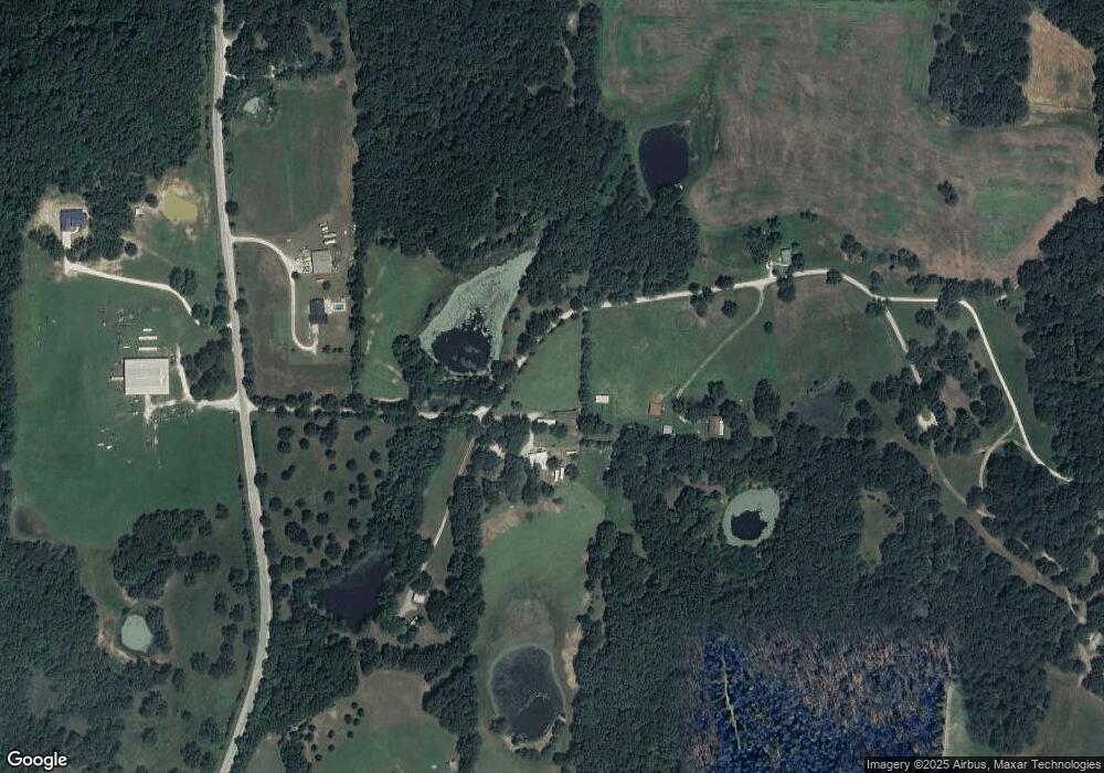
Map
Nearby Homes
- 30.47 Acres Onda Mountain (Wc 213)
- 15607 Hubbard Rd
- 16293 Arkansas 265
- 14648 Director Rd
- 00 8.86 acres Hubbard Rd
- 00 Hubbard Rd
- 16291 S Highway 265
- 16380 Cove Creek Rd N
- 13184 Cove Creek Rd N
- 841 Petit Jean St
- 16977 Holcombe School Rd
- 16891 Holcombe School Rd
- 16175 N Cove Creek Wc 21 Rd
- 16175 Cove Creek N
- 12063 W Highway 156
- 17952 S Highway 170
- 12930 Baker Mountain Rd
- 14516 Friendship Church Rd
- 14295 Blue Mountain Rd
- 18403 S Highway 170
- 12875 McDonald Rd
- 15628 Malico Mountain Rd
- 12870 McDonald Rd
- 0 Malico Mountain Rd
- 14770 Malico Mountain Rd
- 55Ac Malico Mountain Rd
- 0 County Road 29
- tbd Malico Mountain Rd
- 0 Malico Mountain
- 16606 Malico Mnt Rd Cr29
- 13020 Dandelion Rd
- 13024 Dandelion Rd
- 16030 Malico Mountain Rd
- 13024 Dandelion Co Rd 281
- 12730 McDonald Rd
- 16092 Malico Mountain Rd
- 16091 Malico Mountain Rd
- 15312 Malico Mountain Rd
- 16252 Malico Mountain Rd
- 16087 Malico Mountain Rd