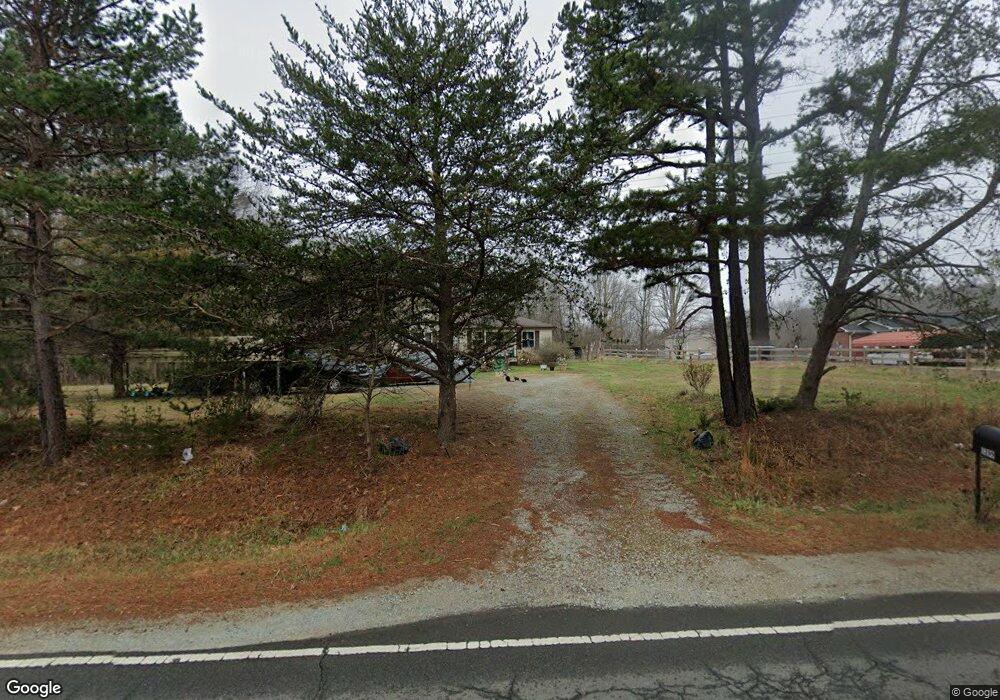
1299 Mollie Mooney Rd Roxboro, NC 27574
Estimated Value: $223,000 - $262,000
3
Beds
2
Baths
1,432
Sq Ft
$165/Sq Ft
Est. Value
About This Home
This home is located at 1299 Mollie Mooney Rd, Roxboro, NC 27574 and is currently estimated at $235,760, approximately $164 per square foot. 1299 Mollie Mooney Rd is a home located in Person County with nearby schools including Person High School.
Ownership History
Date
Name
Owned For
Owner Type
Purchase Details
Closed on
Jul 26, 2016
Sold by
Federal Home Loan Mortgage Corporation
Bought by
Whitaker Virginia D
Current Estimated Value
Purchase Details
Closed on
Jan 1, 2016
Sold by
Dourvetaks Peter and Dourvetaks Christina
Bought by
Citimortgage Inc
Purchase Details
Closed on
Jul 27, 2007
Sold by
Keeter Robert and Keeter Lillie T
Bought by
Dourvetakis Peter
Home Financials for this Owner
Home Financials are based on the most recent Mortgage that was taken out on this home.
Original Mortgage
$86,000
Interest Rate
6.71%
Mortgage Type
New Conventional
Create a Home Valuation Report for This Property
The Home Valuation Report is an in-depth analysis detailing your home's value as well as a comparison with similar homes in the area
Home Values in the Area
Average Home Value in this Area
Purchase History
| Date | Buyer | Sale Price | Title Company |
|---|---|---|---|
| Whitaker Virginia D | -- | Attorney | |
| Citimortgage Inc | $77,500 | None Available | |
| Dourvetakis Peter | $126,000 | -- |
Source: Public Records
Mortgage History
| Date | Status | Borrower | Loan Amount |
|---|---|---|---|
| Previous Owner | Dourvetakis Peter | $86,000 |
Source: Public Records
Tax History Compared to Growth
Tax History
| Year | Tax Paid | Tax Assessment Tax Assessment Total Assessment is a certain percentage of the fair market value that is determined by local assessors to be the total taxable value of land and additions on the property. | Land | Improvement |
|---|---|---|---|---|
| 2025 | $1,089 | $218,276 | $0 | $0 |
| 2024 | $100 | $117,236 | $0 | $0 |
| 2023 | $586 | $117,236 | $0 | $0 |
| 2022 | $384 | $117,236 | $0 | $0 |
| 2021 | $904 | $117,236 | $0 | $0 |
| 2020 | $682 | $100,892 | $0 | $0 |
| 2019 | $792 | $100,892 | $0 | $0 |
| 2018 | $744 | $100,892 | $0 | $0 |
| 2017 | $0 | $100,892 | $0 | $0 |
| 2016 | $734 | $100,892 | $0 | $0 |
| 2015 | $734 | $100,892 | $0 | $0 |
| 2014 | $734 | $100,892 | $0 | $0 |
Source: Public Records
Map
Nearby Homes
- 1469 Mollie Mooney Rd
- 2201 Mollie Mooney Rd
- 122 Old Surl Rd
- 0 Old Surl Rd
- 00 Pulliam-Tingen Mine Rd
- 670 Tingen Mine Rd
- 0 Doc Bass Rd
- 95 Doc Bass Rd
- 771 Cedar Grove Church Rd
- 21 Piney Forest Rd
- 1002 Dennys Store Rd
- 0 Cedar Grove Church Rd Unit 10077427
- 0 Cedar Grove Church Rd Unit 10075146
- O Shortline Rd
- 243 Victor Chandler Rd
- Tract D Antioch Church Rd
- Tract E Antioch Church Rd
- Tract F Antioch Church Rd
- 2735 Lucy Garrett Rd
- 399 Sunnyvale Ln
- 1325 Mollie Mooney Rd
- 1310 Mollie Mooney Rd
- 0 Mollie Mooney Rd Unit 466576
- 0 Mollie Mooney Rd Unit 973562
- 0 Mollie Mooney Rd Unit 785351
- 0 Mollie Mooney Rd Unit 481030
- 0 Mollie Mooney Rd Unit 481017
- 0 Mollie Mooney Rd Unit 481021
- 0 Mollie Mooney Rd Unit 2441547
- 0 Mollie Mooney Rd Unit 2495643
- 0 Mollie Mooney Rd Unit B TR1744074
- 0 Mollie Mooney Rd Unit B
- 00 Mollie Mooney Rd
- 000 Mollie Mooney Rd
- 1362 Mollie Mooney Rd
- 7 & 8 Mollie Mooney Rd
- 2279 Mollie Mooney Rd
- 2339 Mollie Mooney Rd
- 2449 Mollie Mooney Rd
- 1400 Mollie Mooney Rd