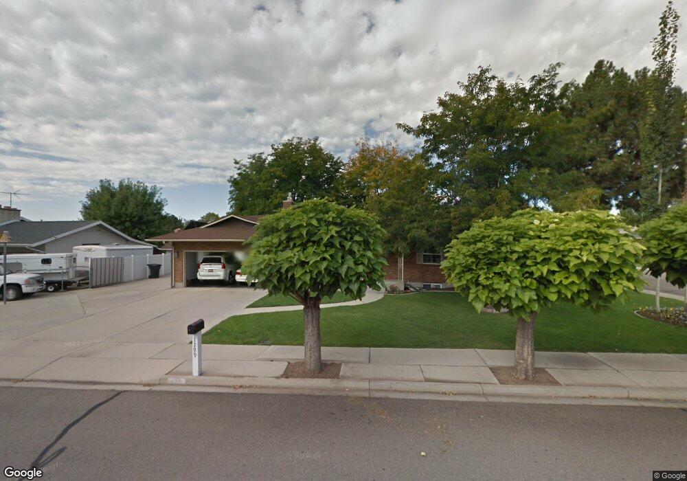
1299 N 1400 W Provo, UT 84604
Grandview South NeighborhoodEstimated Value: $524,000 - $611,000
5
Beds
3
Baths
2,714
Sq Ft
$210/Sq Ft
Est. Value
About This Home
This home is located at 1299 N 1400 W, Provo, UT 84604 and is currently estimated at $569,542, approximately $209 per square foot. 1299 N 1400 W is a home located in Utah County with nearby schools including Westridge Elementary School, Dixon Middle School, and Provo High School.
Ownership History
Date
Name
Owned For
Owner Type
Purchase Details
Closed on
Feb 6, 2019
Sold by
Dallin Ronald J and Dallin Randy M
Bought by
Kay Paul A and Kay Leslie L
Current Estimated Value
Home Financials for this Owner
Home Financials are based on the most recent Mortgage that was taken out on this home.
Original Mortgage
$199,900
Outstanding Balance
$175,390
Interest Rate
4.4%
Mortgage Type
New Conventional
Estimated Equity
$394,152
Purchase Details
Closed on
Jan 27, 2010
Sold by
Clements Cindy D and Clements David H
Bought by
Dallin Ronald J and Dallin Randy M
Create a Home Valuation Report for This Property
The Home Valuation Report is an in-depth analysis detailing your home's value as well as a comparison with similar homes in the area
Home Values in the Area
Average Home Value in this Area
Purchase History
| Date | Buyer | Sale Price | Title Company |
|---|---|---|---|
| Kay Paul A | -- | Us Title Insurance Agency | |
| Dallin Ronald J | -- | Bartlett Title Insurance Ag |
Source: Public Records
Mortgage History
| Date | Status | Borrower | Loan Amount |
|---|---|---|---|
| Open | Kay Paul A | $199,900 |
Source: Public Records
Tax History Compared to Growth
Tax History
| Year | Tax Paid | Tax Assessment Tax Assessment Total Assessment is a certain percentage of the fair market value that is determined by local assessors to be the total taxable value of land and additions on the property. | Land | Improvement |
|---|---|---|---|---|
| 2025 | $4,586 | $511,900 | $178,900 | $333,000 |
| 2024 | $4,586 | $451,400 | $0 | $0 |
| 2023 | $4,564 | $442,900 | $0 | $0 |
| 2022 | $4,959 | $485,200 | $181,600 | $303,600 |
| 2021 | $2,100 | $358,300 | $113,500 | $244,800 |
| 2020 | $2,023 | $323,700 | $103,200 | $220,500 |
| 2019 | $1,883 | $313,300 | $103,200 | $210,100 |
| 2018 | $1,650 | $278,500 | $95,800 | $182,700 |
| 2017 | $1,538 | $142,560 | $0 | $0 |
| 2016 | $1,615 | $139,535 | $0 | $0 |
| 2015 | $1,597 | $139,535 | $0 | $0 |
| 2014 | $1,320 | $120,230 | $0 | $0 |
Source: Public Records
Map
Nearby Homes
- 1375 W 1460 N
- 1471 W 1460 N
- 1188 W 1380 N
- 1525 N 1250 W
- 1430 N 1160 W
- 1250 Jordan Ave
- 1620 W 1000 N
- 932 N 1760 W
- 1503 N 1980 W
- 1149 N 850 W
- 1451 Arthur Dr
- 927 Independence Ave
- 920 W Columbia Ln
- 1127 Independence Ave
- 1633 Woodland Dr
- 2043 W 1100 N
- 1254 N 800 W
- 2075 W 1080 N
- 1516 W 1970 N
- 1685 Hickory Ln