12991 W 21st St Wadsworth, IL 60083
Estimated Value: $513,898 - $593,000
--
Bed
1
Bath
3,019
Sq Ft
$178/Sq Ft
Est. Value
About This Home
This home is located at 12991 W 21st St, Wadsworth, IL 60083 and is currently estimated at $538,475, approximately $178 per square foot. 12991 W 21st St is a home located in Lake County with nearby schools including Kenneth Murphy School, Beach Park Middle School, and Zion-Benton Township High School.
Ownership History
Date
Name
Owned For
Owner Type
Purchase Details
Closed on
Aug 24, 2021
Sold by
Trust No 2 and Moerke Jon D
Bought by
Moerke Jon D and Moerke Diane L
Current Estimated Value
Home Financials for this Owner
Home Financials are based on the most recent Mortgage that was taken out on this home.
Original Mortgage
$186,700
Interest Rate
2.28%
Mortgage Type
New Conventional
Purchase Details
Closed on
Nov 19, 2020
Sold by
Moerke Jon D and Moerke Diane L
Bought by
Moerke Jon D and Moerke Diane L
Purchase Details
Closed on
Aug 22, 1997
Sold by
Jackson Mark V and Jackson Debra Kay
Bought by
Moerke Jon D and Moerke Diane L
Home Financials for this Owner
Home Financials are based on the most recent Mortgage that was taken out on this home.
Original Mortgage
$160,000
Interest Rate
7.56%
Create a Home Valuation Report for This Property
The Home Valuation Report is an in-depth analysis detailing your home's value as well as a comparison with similar homes in the area
Home Values in the Area
Average Home Value in this Area
Purchase History
| Date | Buyer | Sale Price | Title Company |
|---|---|---|---|
| Moerke Jon D | -- | First American Title | |
| Moerke Jon D | -- | Attorney | |
| Moerke Jon D | $150,000 | -- |
Source: Public Records
Mortgage History
| Date | Status | Borrower | Loan Amount |
|---|---|---|---|
| Previous Owner | Moerke Jon D | $186,700 | |
| Previous Owner | Moerke Jon D | $160,000 |
Source: Public Records
Tax History Compared to Growth
Tax History
| Year | Tax Paid | Tax Assessment Tax Assessment Total Assessment is a certain percentage of the fair market value that is determined by local assessors to be the total taxable value of land and additions on the property. | Land | Improvement |
|---|---|---|---|---|
| 2024 | $13,710 | $153,174 | $15,878 | $137,296 |
| 2023 | $12,282 | $147,866 | $15,328 | $132,538 |
| 2022 | $12,282 | $129,307 | $14,965 | $114,342 |
| 2021 | $12,675 | $126,018 | $14,584 | $111,434 |
| 2020 | $12,409 | $120,257 | $13,917 | $106,340 |
| 2019 | $12,407 | $114,096 | $13,204 | $100,892 |
| 2018 | $12,728 | $112,815 | $16,555 | $96,260 |
| 2017 | $12,644 | $106,129 | $15,574 | $90,555 |
| 2016 | $12,330 | $101,037 | $14,827 | $86,210 |
| 2015 | $11,991 | $92,661 | $13,598 | $79,063 |
| 2014 | $10,373 | $86,241 | $11,672 | $74,569 |
| 2012 | $10,404 | $89,619 | $12,129 | $77,490 |
Source: Public Records
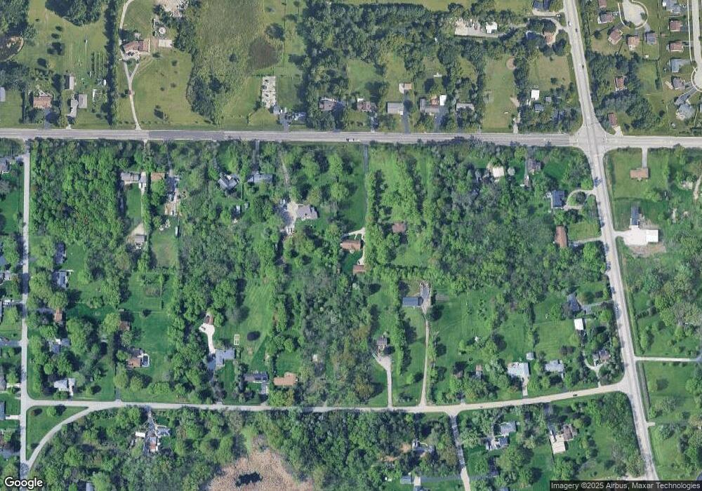
Map
Nearby Homes
- 1916 Sunshine Ct
- 2031 Dawn Ln
- 41320 N Green Bay Rd
- 42334 N Heritage Lot 7 Trail
- 4533 Illinois 173
- 4539 Illinois 173
- 42469 N Green Bay Rd
- 2414 Phillip Dr
- 2407 Phillip Dr
- 2407 Miriam Ave
- 2413 Michael Ave
- 40827 N Delany Rd
- 40661 N Delany Rd
- 13051 Bucksburn Ct
- 1417 Westside Trail
- 4014 Ridge Rd
- 39787 Torry Ln
- 1302 Lorelei Dr
- 3404 Sarah Dr
- 41616 N Delany Rd
- 12963 W 21st St
- 13039 W 21st St
- 12934 W Waverly St
- 12958 W Waverly St
- 13000 W Waverly St
- 13061 W 21st St
- 13079 W 21st St
- 13050 W 21st St
- 12952 W 21st St
- 13030 W Waverly St
- 12924 W 21st St
- 13117 W 21st St
- 12885 W 21st St
- 13060 W Waverly St
- 13098 W Waverly St
- 12900 W 21st St
- 12904 W Waverly St
- 40631 N Cornell St
- 19 Th Sheridan Rd
- LOTSBC Lewis & Champort