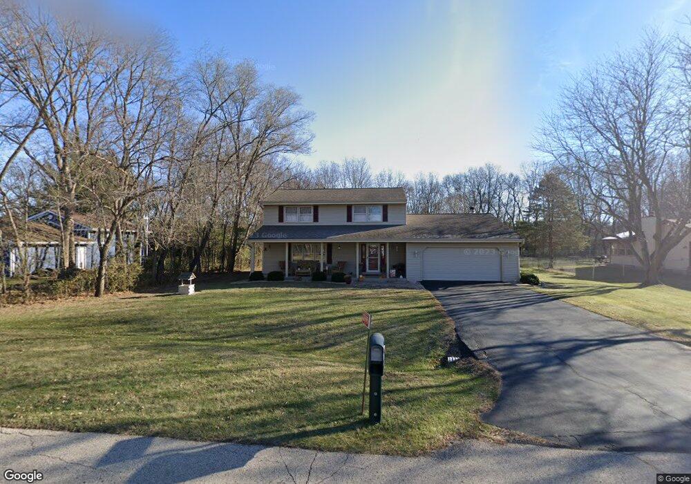
12995 Duncan Ln Rockton, IL 61072
Estimated Value: $304,000 - $362,000
About This Home
This home is located at 12995 Duncan Ln, Rockton, IL 61072 and is currently estimated at $325,972, approximately $253 per square foot. 12995 Duncan Ln is a home located in Winnebago County with nearby schools including Rockton Elementary School, Whitman Post Elementary School, and Stephen Mack Middle School.
Ownership History
We collect this data history from publicly available records. To have your information removed, we recommend requesting removal directly through your county’s website.
Purchase Details
Home Financials for this Owner
Home Financials are based on the most recent Mortgage that was taken out on this home.Home Values in the Area
Average Home Value in this Area
Purchase History
We collect this data history from publicly available records. To have your information removed, we recommend requesting removal directly through your county’s website.
| Date | Buyer | Sale Price | Title Company |
|---|---|---|---|
| -- | None Listed On Document |
Mortgage History
We collect this data history from publicly available records. To have your information removed, we recommend requesting removal directly through your county’s website.
| Date | Status | Borrower | Loan Amount |
|---|---|---|---|
| Open | $130,000 |
Tax History
We collect this data history from publicly available records. To have your information removed, we recommend requesting removal directly through your county’s website.
| Year | Tax Paid | Tax Assessment Tax Assessment Total Assessment is a certain percentage of the fair market value that is determined by local assessors to be the total taxable value of land and additions on the property. | Land | Improvement |
|---|---|---|---|---|
| 2024 | $5,604 | $85,110 | $12,297 | $72,813 |
| 2023 | $5,303 | $75,890 | $10,965 | $64,925 |
| 2022 | $5,007 | $69,331 | $10,017 | $59,314 |
| 2021 | $5,164 | $64,880 | $9,374 | $55,506 |
| 2020 | $5,090 | $62,819 | $9,076 | $53,743 |
| 2019 | $4,999 | $60,514 | $8,743 | $51,771 |
| 2018 | $5,500 | $67,284 | $8,947 | $58,337 |
| 2017 | $5,585 | $64,492 | $8,576 | $55,916 |
| 2016 | $5,311 | $62,378 | $8,295 | $54,083 |
| 2015 | $5,257 | $60,951 | $8,105 | $52,846 |
| 2014 | $5,139 | $60,951 | $8,105 | $52,846 |
Map
- 1301 Armstrong Ave
- 1119 Sandpebble Dr
- 1618 Ridgeline Rd
- 1633 Wildwind Ct
- 158 Quantico Dr
- 216 Bunn Dr
- 13639 Sundance Trail
- 607 Queens Ct Unit 6607
- 4276 Kensington Way
- 13222 Wynstone Way
- 432 Lozenge Ct
- 126 Sunrise Dr
- 4348 Woodcliff Ln
- 12222 Rae Ann Rd
- 667 Westport Dr
- 11891 Tresemer Rd
- 438 E Warren St
- 328 Harwich Place
- 3620 Valerie Rd
- 11847 River Hills Pkwy
Ask me questions while you tour the home.