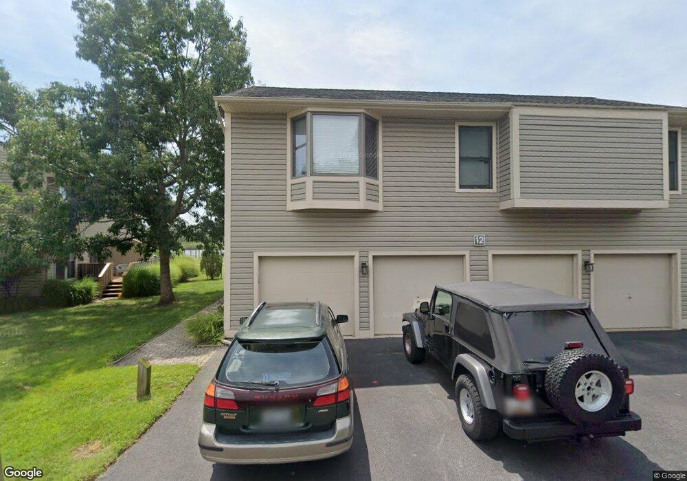
12B Mariners Way Stevensville, MD 21666
Estimated Value: $263,922 - $296,000
--
Bed
2
Baths
1,032
Sq Ft
$273/Sq Ft
Est. Value
About This Home
This home is located at 12B Mariners Way, Stevensville, MD 21666 and is currently estimated at $281,981, approximately $273 per square foot. 12B Mariners Way is a home located in Queen Anne's County with nearby schools including Kent Island Elementary School, Bayside Elementary School, and Matapeake Middle School.
Ownership History
Date
Name
Owned For
Owner Type
Purchase Details
Closed on
Nov 12, 1998
Sold by
Barlag Rodney W
Bought by
Bushey Maureen Bannon
Current Estimated Value
Purchase Details
Closed on
Sep 26, 1996
Sold by
Barlag Rodney W
Bought by
Barlag Rodney W
Purchase Details
Closed on
May 17, 1991
Sold by
Hayden Faye S
Bought by
Barlag Rodney W and Barlag Phyllis M
Home Financials for this Owner
Home Financials are based on the most recent Mortgage that was taken out on this home.
Original Mortgage
$65,000
Interest Rate
9.5%
Create a Home Valuation Report for This Property
The Home Valuation Report is an in-depth analysis detailing your home's value as well as a comparison with similar homes in the area
Home Values in the Area
Average Home Value in this Area
Purchase History
| Date | Buyer | Sale Price | Title Company |
|---|---|---|---|
| Bushey Maureen Bannon | $97,500 | -- | |
| Barlag Rodney W | -- | -- | |
| Barlag Rodney W | $84,900 | -- |
Source: Public Records
Mortgage History
| Date | Status | Borrower | Loan Amount |
|---|---|---|---|
| Previous Owner | Barlag Rodney W | $65,000 | |
| Closed | Bushey Maureen Bannon | -- |
Source: Public Records
Tax History Compared to Growth
Tax History
| Year | Tax Paid | Tax Assessment Tax Assessment Total Assessment is a certain percentage of the fair market value that is determined by local assessors to be the total taxable value of land and additions on the property. | Land | Improvement |
|---|---|---|---|---|
| 2025 | $2,126 | $237,633 | $0 | $0 |
| 2024 | $2,019 | $220,467 | $0 | $0 |
| 2023 | $1,915 | $203,300 | $115,000 | $88,300 |
| 2022 | $1,837 | $195,000 | $0 | $0 |
| 2021 | $1,711 | $186,700 | $0 | $0 |
| 2020 | $1,711 | $178,400 | $95,000 | $83,400 |
| 2019 | $1,655 | $172,600 | $0 | $0 |
| 2018 | $1,600 | $166,800 | $0 | $0 |
| 2017 | $1,544 | $161,000 | $0 | $0 |
| 2016 | -- | $155,667 | $0 | $0 |
| 2015 | $738 | $150,333 | $0 | $0 |
| 2014 | $738 | $145,000 | $0 | $0 |
Source: Public Records
Map
Nearby Homes
- 1 UNIT 2 Compass Cir
- 241 Jessica Lyn Ave
- 111 Keenan Way
- 119 Keenan Way
- 858 Moorings Cir Unit 11
- 736 Moorings Cir Unit 35
- 349 Topside Dr
- 1757 Harbor Dr
- 122 E Main St
- 312 Topside Dr Unit 223
- 1839 Harbor Dr
- 298 Moorings Cir
- 0 Harbor Dr
- 1870 Harbor Dr
- 515 Love Point Rd
- 1906 Harbor Dr
- 102 Bobbitt Ct
- 103 Irene Way
- 619 Love Point Rd
- 1916 Stevens Dr
- 12A Mariners Way
- 12 Mariners Way Unit A
- 12 Mariners Way Unit D
- 12 Mariners Way Unit B
- 12 Mariners Way Unit A
- 12 Mariners Way Unit (2)
- 12 Mariners Way Unit A-3
- 12 Mariners Way Unit 3
- 12 Mariners Way
- 12 Mariners Way Unit 1
- 12 Mariners Way Unit 4
- 12D Mariners Way
- 13A Mariners Way
- 13 Mariners Way
- 13 Mariners Way Unit 2
- 13 Mariners Way Unit A1
- 13 Mariners Way Unit B2
- 13 Mariners Way Unit C
- 13 Mariners Way
- 13 Mariners Way Unit 3