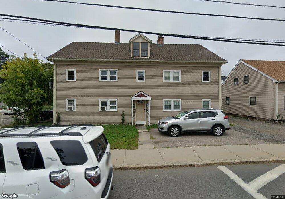
12R Saint Paul St Blackstone, MA 01504
Estimated Value: $427,000 - $483,000
3
Beds
1
Bath
1,264
Sq Ft
$353/Sq Ft
Est. Value
About This Home
This home is located at 12R Saint Paul St, Blackstone, MA 01504 and is currently estimated at $446,234, approximately $353 per square foot. 12R Saint Paul St is a home located in Worcester County with nearby schools including Blackstone-Millville Regional High School, Rise Prep Mayoral Academy Middle School, and Rise Prep Mayoral Academy.
Ownership History
Date
Name
Owned For
Owner Type
Purchase Details
Closed on
Jun 13, 2023
Sold by
Parkhurst Lloyd L Est and Parkhurst
Bought by
Piette Kevin L and Piette Melissa A
Current Estimated Value
Home Financials for this Owner
Home Financials are based on the most recent Mortgage that was taken out on this home.
Original Mortgage
$330,000
Outstanding Balance
$320,470
Interest Rate
6.39%
Mortgage Type
Purchase Money Mortgage
Estimated Equity
$125,764
Create a Home Valuation Report for This Property
The Home Valuation Report is an in-depth analysis detailing your home's value as well as a comparison with similar homes in the area
Home Values in the Area
Average Home Value in this Area
Purchase History
| Date | Buyer | Sale Price | Title Company |
|---|---|---|---|
| Piette Kevin L | $425,000 | None Available | |
| Piette Kevin L | $425,000 | None Available |
Source: Public Records
Mortgage History
| Date | Status | Borrower | Loan Amount |
|---|---|---|---|
| Open | Piette Kevin L | $330,000 | |
| Closed | Piette Kevin L | $330,000 |
Source: Public Records
Tax History Compared to Growth
Tax History
| Year | Tax Paid | Tax Assessment Tax Assessment Total Assessment is a certain percentage of the fair market value that is determined by local assessors to be the total taxable value of land and additions on the property. | Land | Improvement |
|---|---|---|---|---|
| 2025 | $5,356 | $354,700 | $142,200 | $212,500 |
| 2024 | $5,178 | $317,100 | $142,500 | $174,600 |
| 2023 | $4,747 | $293,400 | $142,200 | $151,200 |
| 2022 | $5,021 | $280,500 | $143,200 | $137,300 |
| 2021 | $4,772 | $254,900 | $130,100 | $124,800 |
| 2020 | $4,632 | $245,600 | $130,300 | $115,300 |
| 2019 | $4,389 | $232,100 | $119,900 | $112,200 |
| 2018 | $4,099 | $210,300 | $114,100 | $96,200 |
| 2017 | $4,062 | $210,900 | $114,100 | $96,800 |
| 2016 | $4,021 | $207,900 | $104,300 | $103,600 |
| 2015 | $3,822 | $196,200 | $104,300 | $91,900 |
Source: Public Records
Map
Nearby Homes
- 96 Main St Unit 1
- 15 Blackstone St
- 3 Federal St
- 22 Colerick Ave
- 11 Federal St
- 24 Reilly Ave
- 10 Huntington Ave
- 81 Fountain St
- 122 Canal St
- 6 Old Mendon St
- 8 Old Mendon St Unit 8
- 29 Graves Ave
- 60 Fairlawn Ave
- 225-227 Main St
- 8 Devlin Cir
- 175 Saint Paul St
- 44 Federal St
- 12 Keough St
- 246 Saint Paul St
- 1 Tupperware Dr Unit 226
- 12 Saint Paul St
- 68 Saint Paul St
- 3 Rivers Edge Rd
- 1 Rivers Edge Rd
- 6 Saint Paul St Unit 1
- 7 Rivers Edge Rd
- 5 Rivers Edge Rd
- 00000 Confidential
- Hot Breakfast Shop
- 2 Saint Paul St
- 18 Saint Paul St
- 2 Rivers Edge Rd
- 73 Main St Unit 73
- 73 Main St
- 73 Main St Unit 1
- 4 Rivers Edge Rd
- 4 Rivers Edge Rd Unit 4
- 11 Rivers Edge Rd
- 11 Rivers Edge Rd Unit 11
- 11 Rivers Edge Rd Unit 11,2