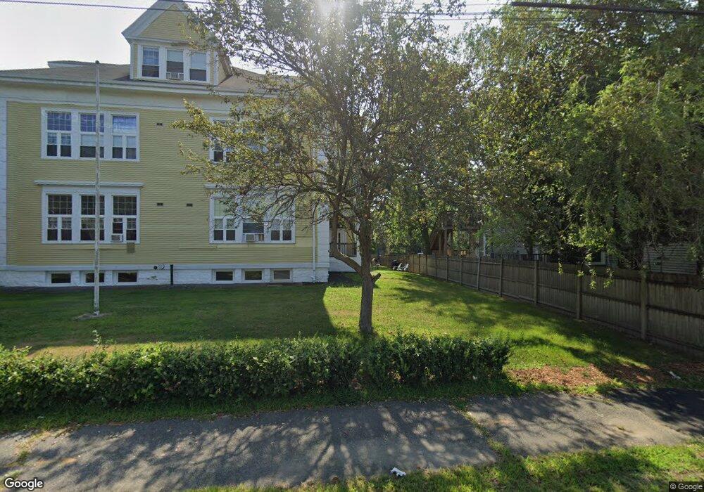
12R Water St Unit 3 Danvers, MA 01923
Estimated Value: $378,000 - $437,000
2
Beds
1
Bath
851
Sq Ft
$469/Sq Ft
Est. Value
About This Home
This home is located at 12R Water St Unit 3, Danvers, MA 01923 and is currently estimated at $399,095, approximately $468 per square foot. 12R Water St Unit 3 is a home located in Essex County with nearby schools including Danvers High School, St. Mary of the Annunciation School, and Bishop Fenwick High School.
Ownership History
Date
Name
Owned For
Owner Type
Purchase Details
Closed on
May 19, 2010
Sold by
Resilient Invest Llc
Bought by
Radic Ognjen
Current Estimated Value
Home Financials for this Owner
Home Financials are based on the most recent Mortgage that was taken out on this home.
Original Mortgage
$134,000
Outstanding Balance
$90,603
Interest Rate
5.23%
Mortgage Type
Purchase Money Mortgage
Estimated Equity
$308,492
Purchase Details
Closed on
May 11, 2005
Sold by
Danvers Friendship T and Bartson Lester J
Bought by
Jones Diane K
Home Financials for this Owner
Home Financials are based on the most recent Mortgage that was taken out on this home.
Original Mortgage
$182,400
Interest Rate
6.05%
Mortgage Type
Purchase Money Mortgage
Create a Home Valuation Report for This Property
The Home Valuation Report is an in-depth analysis detailing your home's value as well as a comparison with similar homes in the area
Home Values in the Area
Average Home Value in this Area
Purchase History
| Date | Buyer | Sale Price | Title Company |
|---|---|---|---|
| Radic Ognjen | $169,900 | -- | |
| Resilient Investments | $111,000 | -- | |
| Jones Diane K | $228,000 | -- |
Source: Public Records
Mortgage History
| Date | Status | Borrower | Loan Amount |
|---|---|---|---|
| Open | Jones Diane K | $134,000 | |
| Previous Owner | Jones Diane K | $31,300 | |
| Previous Owner | Jones Diane K | $182,400 | |
| Previous Owner | Jones Diane K | $45,600 |
Source: Public Records
Tax History
| Year | Tax Paid | Tax Assessment Tax Assessment Total Assessment is a certain percentage of the fair market value that is determined by local assessors to be the total taxable value of land and additions on the property. | Land | Improvement |
|---|---|---|---|---|
| 2025 | $3,341 | $304,000 | $0 | $304,000 |
| 2024 | $2,523 | $227,100 | $0 | $227,100 |
| 2023 | $2,609 | $222,000 | $0 | $222,000 |
| 2022 | $2,543 | $200,900 | $0 | $200,900 |
| 2021 | $2,512 | $188,200 | $0 | $188,200 |
| 2020 | $2,458 | $188,200 | $0 | $188,200 |
| 2019 | $2,398 | $180,600 | $0 | $180,600 |
| 2018 | $2,257 | $166,700 | $0 | $166,700 |
| 2017 | $2,365 | $166,700 | $0 | $166,700 |
| 2016 | $2,178 | $153,400 | $0 | $153,400 |
| 2015 | $2,254 | $151,200 | $0 | $151,200 |
Source: Public Records
Map
Nearby Homes
- 76 Water St
- 147 High St
- 6 Mcdewell Ave Unit 4
- 59 Riverview Ave
- 108 Abington Rd Unit 108
- 34 Bayview Terrace Unit 5
- 11 Riverside Ave Unit 111
- 7 Riverbank Ave Unit 7
- 508 Elliott St
- 152 Endicott St
- 35 High St Unit 3D
- 5 Holten St
- 15 Roland Rd
- 63 Adams St
- 13 Giles Ave Unit 2
- 97 Sylvan St Unit 7
- 14 Grove St
- 14 Williams St Unit C17
- 43 Hobart St Unit B
- 35 Locust St Unit 3
Your Personal Tour Guide
Ask me questions while you tour the home.