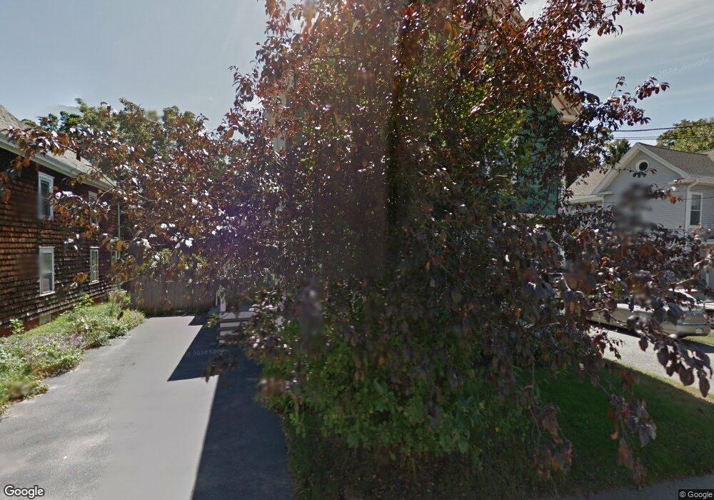
13 1/2 Whittier Ave Amesbury, MA 01913
Estimated Value: $589,000 - $649,000
3
Beds
2
Baths
1,553
Sq Ft
$397/Sq Ft
Est. Value
About This Home
This home is located at 13 1/2 Whittier Ave, Amesbury, MA 01913 and is currently estimated at $616,560, approximately $397 per square foot. 13 1/2 Whittier Ave is a home located in Essex County with nearby schools including Amesbury High School and Amesbury Seventh-Day Adventist School.
Ownership History
Date
Name
Owned For
Owner Type
Purchase Details
Closed on
Feb 19, 2025
Sold by
Carpenter Eric J
Bought by
Jems Enterprises Llc
Current Estimated Value
Purchase Details
Closed on
Dec 2, 2016
Sold by
Fnma
Bought by
Carpenter Eric J
Purchase Details
Closed on
Nov 12, 2014
Sold by
Horne Lisa and Nationstar Mortgage Ll
Bought by
Fnma
Purchase Details
Closed on
Aug 30, 2007
Sold by
Everett Jason and Everett Karen
Bought by
Horne Lisa A
Home Financials for this Owner
Home Financials are based on the most recent Mortgage that was taken out on this home.
Original Mortgage
$276,500
Interest Rate
6.71%
Mortgage Type
Purchase Money Mortgage
Purchase Details
Closed on
Aug 31, 1987
Sold by
Stewart Anne A
Bought by
Ray Anne L
Create a Home Valuation Report for This Property
The Home Valuation Report is an in-depth analysis detailing your home's value as well as a comparison with similar homes in the area
Home Values in the Area
Average Home Value in this Area
Purchase History
| Date | Buyer | Sale Price | Title Company |
|---|---|---|---|
| Jems Enterprises Llc | -- | None Available | |
| Jems Enterprises Llc | -- | None Available | |
| Carpenter Eric J | $147,000 | -- | |
| Carpenter Eric J | $147,000 | -- | |
| Fnma | $256,366 | -- | |
| Fnma | $256,366 | -- | |
| Horne Lisa A | $276,500 | -- | |
| Horne Lisa A | $276,500 | -- | |
| Ray Anne L | $105,000 | -- |
Source: Public Records
Mortgage History
| Date | Status | Borrower | Loan Amount |
|---|---|---|---|
| Previous Owner | Ray Anne L | $276,500 | |
| Previous Owner | Ray Anne L | $30,000 | |
| Previous Owner | Ray Anne L | $157,300 |
Source: Public Records
Tax History Compared to Growth
Tax History
| Year | Tax Paid | Tax Assessment Tax Assessment Total Assessment is a certain percentage of the fair market value that is determined by local assessors to be the total taxable value of land and additions on the property. | Land | Improvement |
|---|---|---|---|---|
| 2025 | $7,396 | $483,400 | $193,200 | $290,200 |
| 2024 | $6,986 | $446,700 | $182,300 | $264,400 |
| 2023 | $6,910 | $422,900 | $158,500 | $264,400 |
| 2022 | $6,314 | $356,900 | $137,800 | $219,100 |
| 2021 | $6,148 | $336,900 | $106,500 | $230,400 |
| 2020 | $5,460 | $317,800 | $102,400 | $215,400 |
| 2019 | $5,439 | $296,100 | $102,400 | $193,700 |
| 2018 | $5,237 | $275,800 | $97,500 | $178,300 |
| 2017 | $4,993 | $250,300 | $97,500 | $152,800 |
| 2016 | $4,946 | $243,900 | $97,500 | $146,400 |
| 2015 | $4,854 | $236,300 | $97,500 | $138,800 |
| 2014 | $4,660 | $222,200 | $97,500 | $124,700 |
Source: Public Records
Map
Nearby Homes
- 129 Friend St
- 19 Perkins St
- 31 Whitter Meadows Dr Unit 31
- 81 High St Unit 27
- 15 Sparhawk St Unit 3
- 17 Lincoln Ct
- 179 Lions Mouth Rd
- 4 Lincoln Ct
- 13 Lincoln Ct
- 37 Millyard Unit 204
- 48 Orchard St
- 5 Moncrief St Unit 1
- 49 W Greenwood St
- 188 Lions Mouth Rd
- 24 Aubin St Unit 2
- 43 Aubin St Unit 1
- 2 Hitching Post Ln
- 17 Linwood Place
- 4 Greenwood St
- 53 Market St
- 13 1/2 Whittier Ave Unit 1
- 13 Whittier Ave
- 11 Whittier Ave
- 15 Whittier Ave
- 9 Whittier Ave
- 14 Whittier Ave
- 17 Whittier Ave
- 20 Whittier Ave
- 7 Whittier Ave
- 11 Cammetts Ct
- 18 Whittier Ave
- 22 Whittier Ave
- 22 Whittier Ave Unit 22
- 22 Whittier Ave
- 10 Whittier Ave
- 19 Whittier Ave
- 5 Whittier Ave
- 5 Whittier Ave Unit A,7
- 6 Whittier Ave
- 7 Cammetts Ct