13-20 Michael Ct Unit 3 Bayside, NY 11360
Bayside NeighborhoodEstimated Value: $820,283 - $988,000
2
Beds
2
Baths
1,100
Sq Ft
$785/Sq Ft
Est. Value
About This Home
This home is located at 13-20 Michael Ct Unit 3, Bayside, NY 11360 and is currently estimated at $863,571, approximately $785 per square foot. 13-20 Michael Ct Unit 3 is a home located in Queens County with nearby schools including P.S. 209 - Clearview Gardens, J.H.S. 194 William Carr, and Bayside High School.
Ownership History
Date
Name
Owned For
Owner Type
Purchase Details
Closed on
May 16, 2025
Sold by
Yao Nathaniel L and Yao Yao
Bought by
Nathaniel Lim Yao Trustee and The Yao Family Trust Dated March 6 2025
Current Estimated Value
Purchase Details
Closed on
May 17, 2011
Sold by
Lercara Erika K and Lercara Saro
Bought by
Yao Nathaniel L and Yao Vivian L
Home Financials for this Owner
Home Financials are based on the most recent Mortgage that was taken out on this home.
Original Mortgage
$417,000
Interest Rate
4.85%
Mortgage Type
Purchase Money Mortgage
Purchase Details
Closed on
Jul 3, 2007
Sold by
Ma Jacob K J and Ma Joseph H
Bought by
Lercara Erika K and Lercara Saro
Home Financials for this Owner
Home Financials are based on the most recent Mortgage that was taken out on this home.
Original Mortgage
$400,000
Interest Rate
6.54%
Mortgage Type
Purchase Money Mortgage
Create a Home Valuation Report for This Property
The Home Valuation Report is an in-depth analysis detailing your home's value as well as a comparison with similar homes in the area
Home Values in the Area
Average Home Value in this Area
Purchase History
| Date | Buyer | Sale Price | Title Company |
|---|---|---|---|
| Nathaniel Lim Yao Trustee | -- | -- | |
| Yao Nathaniel L | $590,000 | -- | |
| Yao Nathaniel L | $590,000 | -- | |
| Lercara Erika K | $575,000 | -- | |
| Lercara Erika K | $575,000 | -- |
Source: Public Records
Mortgage History
| Date | Status | Borrower | Loan Amount |
|---|---|---|---|
| Previous Owner | Yao Nathaniel L | $417,000 | |
| Previous Owner | Lercara Erika K | $400,000 |
Source: Public Records
Tax History Compared to Growth
Tax History
| Year | Tax Paid | Tax Assessment Tax Assessment Total Assessment is a certain percentage of the fair market value that is determined by local assessors to be the total taxable value of land and additions on the property. | Land | Improvement |
|---|---|---|---|---|
| 2025 | $6,237 | $31,290 | $3,170 | $28,120 |
| 2024 | $6,237 | $31,051 | $3,432 | $27,619 |
| 2023 | $5,884 | $29,294 | $2,890 | $26,404 |
| 2022 | $4,743 | $36,889 | $3,898 | $32,991 |
| 2021 | $5,191 | $32,817 | $3,898 | $28,919 |
| 2020 | $4,762 | $33,129 | $3,898 | $29,231 |
| 2019 | $5,120 | $33,441 | $3,898 | $29,543 |
Source: Public Records
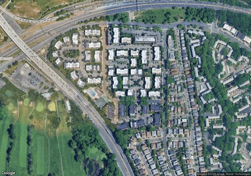
Map
Nearby Homes
- 14-04 Michael Place Unit 113 U
- 13-25 Estates Ln Unit 3F
- 1404 Bonnie Ln Unit 15803
- 208-08 Estates Dr Unit 22125
- 207-30 Jordan Dr Unit 97U
- 15-01 Jordan Ct Unit 104M
- 15-01 Jordan Ct Unit 104 U
- 12-34 Diane Place Unit 205 U
- 208-06 Robert Rd Unit 2
- 210 E 15th St Unit 6K
- 210 E 15th St Unit PHD
- 210 E 15th St Unit 2N
- 210 E 15th St Unit 6A
- 210 E 15th St
- 210 E 15th St Unit 10E
- 210 E 15th St Unit 1A
- 210 E 15th St Unit 2H
- 12-36 Estates Ln Unit 49 L
- 12-35 Robin Ln Unit Upper
- 13-36 Robin Ln Unit 70 U
- 13-20 Michael Ct
- 13-20 Michael Ct Unit 158 M
- 1324 Michael Place Unit 25138
- 1324 Michael Place Unit 25138
- 1324 Michael Place Unit 25138
- 13-24 Michael Place Unit 1
- 13-24 Michael Place
- 13-24 Michael Place Unit 25138
- 1318 Michael Ct
- 1318 Michael Ct
- 1318 Michael Ct Unit 1582
- 1318 Michael Ct Unit 1581
- 13-16 Michael Ct Unit 156L
- 1316 Michael Ct
- 1316 Michael Ct Unit 15
- 13-16 Michael Ct
- 13-16 Michael Ct Unit 158U
- 1316 Michael Ct Unit 1579
- 1316 Michael Ct Unit 1580
- 1320 Michael Ct Unit 158A