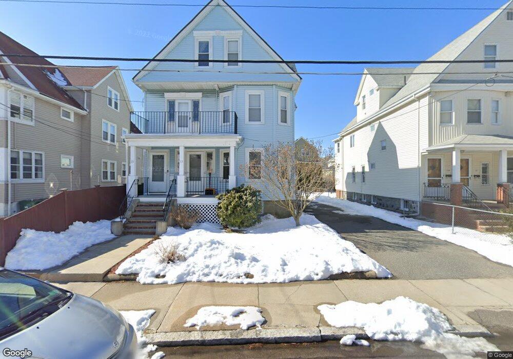
13 Amaranth Ave Unit 2 Medford, MA 02155
Glenwood NeighborhoodEstimated Value: $775,000 - $850,000
3
Beds
2
Baths
1,683
Sq Ft
$483/Sq Ft
Est. Value
About This Home
This home is located at 13 Amaranth Ave Unit 2, Medford, MA 02155 and is currently estimated at $812,123, approximately $482 per square foot. 13 Amaranth Ave Unit 2 is a home located in Middlesex County with nearby schools including Medford High School and Mystic Valley Regional Charter School.
Ownership History
Date
Name
Owned For
Owner Type
Purchase Details
Closed on
Aug 4, 2005
Sold by
Fricia Andrea and Fricia James
Bought by
Pratt Michele and Pratt Neal
Current Estimated Value
Home Financials for this Owner
Home Financials are based on the most recent Mortgage that was taken out on this home.
Original Mortgage
$276,000
Outstanding Balance
$144,707
Interest Rate
5.63%
Mortgage Type
Purchase Money Mortgage
Estimated Equity
$667,416
Create a Home Valuation Report for This Property
The Home Valuation Report is an in-depth analysis detailing your home's value as well as a comparison with similar homes in the area
Home Values in the Area
Average Home Value in this Area
Purchase History
| Date | Buyer | Sale Price | Title Company |
|---|---|---|---|
| Pratt Michele | $345,000 | -- |
Source: Public Records
Mortgage History
| Date | Status | Borrower | Loan Amount |
|---|---|---|---|
| Open | Pratt Michele | $276,000 |
Source: Public Records
Tax History Compared to Growth
Tax History
| Year | Tax Paid | Tax Assessment Tax Assessment Total Assessment is a certain percentage of the fair market value that is determined by local assessors to be the total taxable value of land and additions on the property. | Land | Improvement |
|---|---|---|---|---|
| 2025 | $5,992 | $680,900 | $0 | $680,900 |
| 2024 | $5,679 | $666,500 | $0 | $666,500 |
| 2023 | $5,379 | $621,900 | $0 | $621,900 |
| 2022 | $4,451 | $494,000 | $0 | $494,000 |
| 2021 | $4,552 | $483,700 | $0 | $483,700 |
| 2020 | $4,440 | $483,700 | $0 | $483,700 |
| 2019 | $4,544 | $473,300 | $0 | $473,300 |
| 2018 | $4,207 | $410,800 | $0 | $410,800 |
| 2017 | $4,338 | $410,800 | $0 | $410,800 |
| 2016 | $4,206 | $375,900 | $0 | $375,900 |
| 2015 | $4,246 | $362,900 | $0 | $362,900 |
Source: Public Records
Map
Nearby Homes
- 216 Central Ave Unit 218
- 42 Gibson St
- 55 Surrey St
- 320 Middlesex Ave Unit A207
- 320 Middlesex Ave Unit E403
- 320 Middlesex Ave Unit A406
- 320 Middlesex Ave Unit A208
- 74 Highland Ave
- 108 Highland Ave
- 830 Fellsway
- 45 Grant Ave
- 217 Highland Ave Unit 1
- 57 1st St Unit 2
- 82 2nd St
- 124 Grant Ave
- 500 Salem St Unit 304
- 500 Salem St Unit 708
- 149 Pearl St
- 84 Fellsway E
- 305 Riverside Ave Unit 41
- 13 Amaranth Ave Unit 1
- 13 Amaranth Ave Unit 13
- 13 Amaranth Ave Unit 1,13
- 15 Amaranth Ave Unit 2,15
- 15 Amaranth Ave Unit 2
- 11 Amaranth Ave
- 11 Amaranth Ave Unit A
- 17 Amaranth Ave
- 17 Amaranth Ave Unit 1
- 19 Amaranth Ave
- 19 Amaranth Ave Unit 1
- 9 Amaranth Ave
- 21 Amaranth Ave
- 1060 Fellsway
- 20 Amaranth Ave
- 1048 Fellsway Unit 2
- 73 Kenmere Rd
- 73 Kenmere Rd Unit 2
- 73 Kenmere Rd Unit 1
- 69 Kenmere Rd