13 Astor Ct Durham, NC 27705
West Durham NeighborhoodEstimated Value: $207,000 - $287,000
3
Beds
3
Baths
1,858
Sq Ft
$128/Sq Ft
Est. Value
About This Home
This home is located at 13 Astor Ct, Durham, NC 27705 and is currently estimated at $237,899, approximately $128 per square foot. 13 Astor Ct is a home located in Durham County with nearby schools including Morehead Montessori, Forest View Elementary, and Brogden Middle.
Ownership History
Date
Name
Owned For
Owner Type
Purchase Details
Closed on
May 30, 2003
Sold by
Leary Gwendolyn and Leary Roland
Bought by
Martin Nykedtra
Current Estimated Value
Home Financials for this Owner
Home Financials are based on the most recent Mortgage that was taken out on this home.
Original Mortgage
$110,000
Interest Rate
5%
Mortgage Type
Purchase Money Mortgage
Create a Home Valuation Report for This Property
The Home Valuation Report is an in-depth analysis detailing your home's value as well as a comparison with similar homes in the area
Home Values in the Area
Average Home Value in this Area
Purchase History
| Date | Buyer | Sale Price | Title Company |
|---|---|---|---|
| Martin Nykedtra | $110,000 | -- |
Source: Public Records
Mortgage History
| Date | Status | Borrower | Loan Amount |
|---|---|---|---|
| Previous Owner | Martin Nykedtra | $110,000 |
Source: Public Records
Tax History
| Year | Tax Paid | Tax Assessment Tax Assessment Total Assessment is a certain percentage of the fair market value that is determined by local assessors to be the total taxable value of land and additions on the property. | Land | Improvement |
|---|---|---|---|---|
| 2025 | $2,399 | $242,038 | $65,000 | $177,038 |
| 2024 | $1,557 | $111,628 | $25,000 | $86,628 |
| 2023 | $1,462 | $111,628 | $25,000 | $86,628 |
| 2022 | $1,429 | $111,628 | $25,000 | $86,628 |
| 2021 | $1,422 | $111,628 | $25,000 | $86,628 |
| 2020 | $1,389 | $111,628 | $25,000 | $86,628 |
| 2019 | $1,389 | $111,628 | $25,000 | $86,628 |
| 2018 | $1,218 | $89,825 | $18,000 | $71,825 |
| 2017 | $1,210 | $89,825 | $18,000 | $71,825 |
| 2016 | $1,169 | $89,825 | $18,000 | $71,825 |
| 2015 | $1,584 | $114,404 | $20,500 | $93,904 |
| 2014 | $1,584 | $114,404 | $20,500 | $93,904 |
Source: Public Records
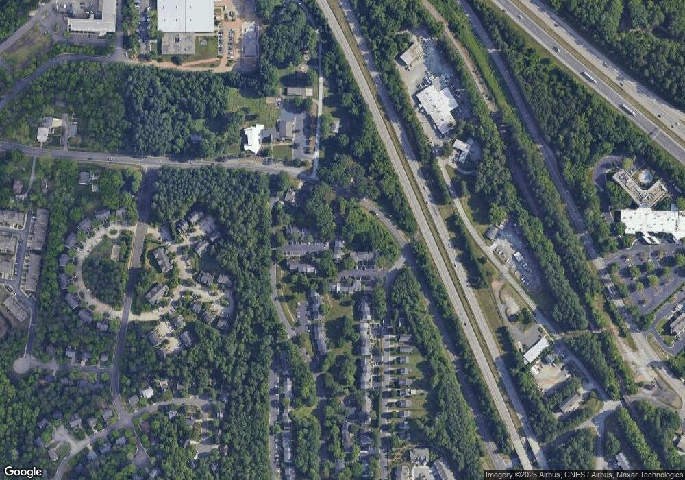
Map
Nearby Homes
- 4 Astor Ct
- 7 Durbin Place
- 22 Durbin Place
- 128 Galway Glenn Ln
- 112 Salmon River Dr
- 36 Georgetown Ct
- 19 Providence Ct
- 412 Lionel St
- 50 Galway Glenn Ln
- 309 Lionel St
- 219 Silas St
- 205 Silas St
- 18 Pocono Dr
- 74 Forest Oaks Dr
- 27 Forest Green Dr
- 4122 Westfield Dr
- 1229 Opal Ln
- 10 Forest Oaks Dr
- 1221 Opal Ln
- 1217 Opal Ln
Your Personal Tour Guide
Ask me questions while you tour the home.