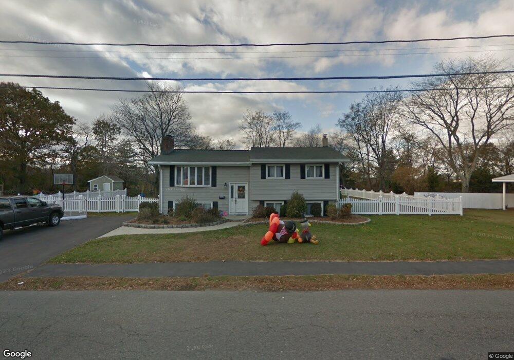
13 Baldwin St Peabody, MA 01960
Estimated Value: $761,000 - $819,000
3
Beds
2
Baths
1,909
Sq Ft
$411/Sq Ft
Est. Value
About This Home
This home is located at 13 Baldwin St, Peabody, MA 01960 and is currently estimated at $784,094, approximately $410 per square foot. 13 Baldwin St is a home located in Essex County with nearby schools including Peabody Veterans Memorial High School, St John The Baptist School, and Covenant Christian Academy.
Ownership History
Date
Name
Owned For
Owner Type
Purchase Details
Closed on
Oct 3, 2005
Sold by
Antunes Sandra
Bought by
Spack Jeffrey M and Spack Constance P
Current Estimated Value
Home Financials for this Owner
Home Financials are based on the most recent Mortgage that was taken out on this home.
Original Mortgage
$328,000
Interest Rate
5.84%
Mortgage Type
Purchase Money Mortgage
Purchase Details
Closed on
Oct 15, 2004
Sold by
Antunes Antonio T and Antunes Sandra
Bought by
Antunes Sandra
Home Financials for this Owner
Home Financials are based on the most recent Mortgage that was taken out on this home.
Original Mortgage
$100,000
Interest Rate
5.8%
Mortgage Type
Purchase Money Mortgage
Create a Home Valuation Report for This Property
The Home Valuation Report is an in-depth analysis detailing your home's value as well as a comparison with similar homes in the area
Home Values in the Area
Average Home Value in this Area
Purchase History
| Date | Buyer | Sale Price | Title Company |
|---|---|---|---|
| Spack Jeffrey M | $410,000 | -- | |
| Antunes Sandra | -- | -- |
Source: Public Records
Mortgage History
| Date | Status | Borrower | Loan Amount |
|---|---|---|---|
| Open | Antunes Sandra | $301,000 | |
| Closed | Antunes Sandra | $328,000 | |
| Closed | Antunes Sandra | $41,000 | |
| Previous Owner | Antunes Sandra | $100,000 |
Source: Public Records
Tax History Compared to Growth
Tax History
| Year | Tax Paid | Tax Assessment Tax Assessment Total Assessment is a certain percentage of the fair market value that is determined by local assessors to be the total taxable value of land and additions on the property. | Land | Improvement |
|---|---|---|---|---|
| 2025 | $6,424 | $693,700 | $319,300 | $374,400 |
| 2024 | $5,929 | $650,100 | $319,300 | $330,800 |
| 2023 | $5,747 | $603,700 | $266,100 | $337,600 |
| 2022 | $5,225 | $517,300 | $231,400 | $285,900 |
| 2021 | $5,155 | $491,400 | $210,400 | $281,000 |
| 2020 | $5,151 | $479,600 | $210,400 | $269,200 |
| 2019 | $4,886 | $443,800 | $210,400 | $233,400 |
| 2018 | $4,740 | $413,600 | $187,900 | $225,700 |
| 2017 | $4,568 | $388,400 | $187,900 | $200,500 |
| 2016 | $4,129 | $346,400 | $187,900 | $158,500 |
| 2015 | $3,984 | $323,900 | $187,900 | $136,000 |
Source: Public Records
Map
Nearby Homes
- 2 & 2R Prospect St
- 4 Price Rd
- 1 Reed Rd
- 351 Lowell St
- 17 Trask Rd
- 58 Trask Rd
- 68 Prospect St Unit 14
- 0 Willowdale Ave Unit 73387007
- 21 Hawthorne Cir
- 14 Raylen Ave
- 2 Crestwood Ln
- 8 Ledgewood Way Unit 20
- 8 Ledgewood Way Unit 17
- 12 Ledgewood Way Unit 26
- 7 Ledgewood Way Unit 11
- 50 Village Post Rd Unit 50
- 36 Forest St
- 19 Arnold Ave
- 72 Collins St
- 4R Forest St