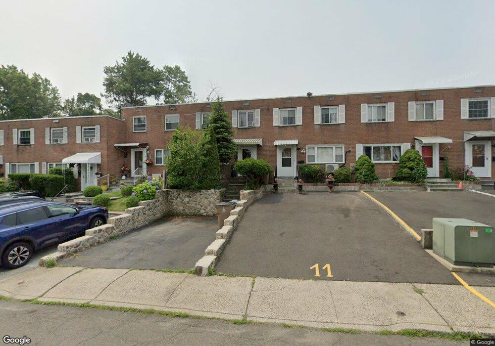
13 Barnstable Ln Stamford, CT 06907
Springdale NeighborhoodEstimated Value: $508,000 - $619,000
3
Beds
2
Baths
1,260
Sq Ft
$436/Sq Ft
Est. Value
About This Home
This home is located at 13 Barnstable Ln, Stamford, CT 06907 and is currently estimated at $548,855, approximately $435 per square foot. 13 Barnstable Ln is a home located in Fairfield County with nearby schools including Springdale Elementary School, Dolan School, and Stamford High School.
Ownership History
Date
Name
Owned For
Owner Type
Purchase Details
Closed on
Dec 26, 2006
Sold by
Mclaughlin Marie A
Bought by
Sanders Reis C and Sanders Tiwani
Current Estimated Value
Home Financials for this Owner
Home Financials are based on the most recent Mortgage that was taken out on this home.
Original Mortgage
$342,000
Outstanding Balance
$207,656
Interest Rate
6.5%
Mortgage Type
Purchase Money Mortgage
Estimated Equity
$341,199
Create a Home Valuation Report for This Property
The Home Valuation Report is an in-depth analysis detailing your home's value as well as a comparison with similar homes in the area
Home Values in the Area
Average Home Value in this Area
Purchase History
| Date | Buyer | Sale Price | Title Company |
|---|---|---|---|
| Sanders Reis C | $360,000 | -- | |
| Sanders Reis C | $360,000 | -- |
Source: Public Records
Mortgage History
| Date | Status | Borrower | Loan Amount |
|---|---|---|---|
| Open | Sanders Reis C | $342,000 | |
| Closed | Sanders Reis C | $342,000 | |
| Previous Owner | Sanders Reis C | $40,000 |
Source: Public Records
Tax History Compared to Growth
Tax History
| Year | Tax Paid | Tax Assessment Tax Assessment Total Assessment is a certain percentage of the fair market value that is determined by local assessors to be the total taxable value of land and additions on the property. | Land | Improvement |
|---|---|---|---|---|
| 2025 | $5,846 | $247,100 | $154,220 | $92,880 |
| 2024 | $5,718 | $247,100 | $154,220 | $92,880 |
| 2023 | $6,143 | $247,100 | $154,220 | $92,880 |
| 2022 | $4,980 | $186,240 | $116,060 | $70,180 |
| 2021 | $4,926 | $186,240 | $116,060 | $70,180 |
| 2020 | $4,799 | $186,240 | $116,060 | $70,180 |
| 2019 | $4,799 | $186,240 | $116,060 | $70,180 |
| 2018 | $4,622 | $186,240 | $116,060 | $70,180 |
| 2017 | $4,397 | $169,100 | $107,470 | $61,630 |
| 2016 | $4,273 | $169,100 | $107,470 | $61,630 |
| 2015 | $4,162 | $169,100 | $107,470 | $61,630 |
| 2014 | $4,023 | $169,100 | $107,470 | $61,630 |
Source: Public Records
Map
Nearby Homes
- 825 Hope St Unit 8
- 31 Chatfield St
- 900 Hope St Unit 8C
- 17 Lynn Ct
- 25 Birchwood Rd
- 49 Echo Dr N
- 78 Elizabeth Ave
- 143 Overbrook Dr
- 30 Lake Dr
- 57 Palmer St
- 172 Joffre Ave
- 27 Northill St Unit 5V
- 27 Northill St Unit 3A
- 24 Haig Ave
- 0 Toms Rd Unit LOT 56
- 85 Camp Ave Unit 6D
- 11 Old Oak Rd
- 1095 Hope St Unit B
- 44 Brundage St
- 83 Mulberry St