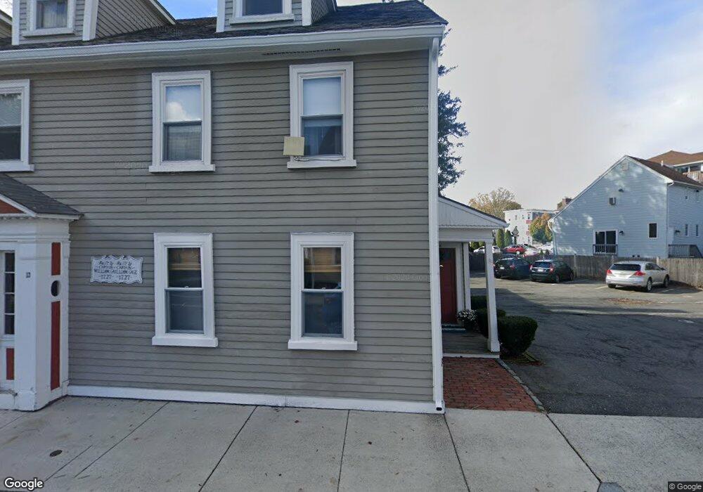
13 Bartlett St Unit 15 Beverly, MA 01915
Downtown Beverly NeighborhoodEstimated Value: $402,000 - $506,000
1
Bed
1
Bath
866
Sq Ft
$509/Sq Ft
Est. Value
About This Home
This home is located at 13 Bartlett St Unit 15, Beverly, MA 01915 and is currently estimated at $440,835, approximately $509 per square foot. 13 Bartlett St Unit 15 is a home located in Essex County with nearby schools including Beverly High School, Mrs Alexander's School, and Shore Country Day School.
Ownership History
Date
Name
Owned For
Owner Type
Purchase Details
Closed on
Feb 20, 2023
Sold by
Dropkin Adam P and Dropkin Brittney C
Bought by
Pszenny Ross T
Current Estimated Value
Purchase Details
Closed on
May 6, 2019
Sold by
Dropkin Jeffrey P and Dropkin Wendy L
Bought by
Dropkin Adam P
Home Financials for this Owner
Home Financials are based on the most recent Mortgage that was taken out on this home.
Original Mortgage
$257,050
Interest Rate
4%
Mortgage Type
New Conventional
Create a Home Valuation Report for This Property
The Home Valuation Report is an in-depth analysis detailing your home's value as well as a comparison with similar homes in the area
Home Values in the Area
Average Home Value in this Area
Purchase History
| Date | Buyer | Sale Price | Title Company |
|---|---|---|---|
| Pszenny Ross T | $392,000 | None Available | |
| Pszenny Ross T | $392,000 | None Available | |
| Dropkin Adam P | $265,000 | -- | |
| Dropkin Adam P | $265,000 | -- |
Source: Public Records
Mortgage History
| Date | Status | Borrower | Loan Amount |
|---|---|---|---|
| Previous Owner | Dropkin Adam P | $257,050 |
Source: Public Records
Tax History Compared to Growth
Tax History
| Year | Tax Paid | Tax Assessment Tax Assessment Total Assessment is a certain percentage of the fair market value that is determined by local assessors to be the total taxable value of land and additions on the property. | Land | Improvement |
|---|---|---|---|---|
| 2025 | $3,857 | $351,000 | $0 | $351,000 |
| 2024 | $3,637 | $323,900 | $0 | $323,900 |
| 2023 | $3,357 | $298,100 | $0 | $298,100 |
| 2022 | $3,420 | $281,000 | $0 | $281,000 |
| 2021 | $3,334 | $262,500 | $0 | $262,500 |
| 2020 | $3,114 | $242,700 | $0 | $242,700 |
| 2019 | $2,738 | $207,300 | $0 | $207,300 |
| 2018 | $2,662 | $195,700 | $0 | $195,700 |
| 2017 | $2,588 | $181,200 | $0 | $181,200 |
| 2016 | $2,464 | $171,200 | $0 | $171,200 |
| 2015 | $2,416 | $171,200 | $0 | $171,200 |
Source: Public Records
Map
Nearby Homes
- 12 Fayette St Unit 4
- 40 & 40R Stone St
- 43 Front St
- 7 Lothrop St
- 60 Rantoul St Unit 711N
- 10 Quincy Park
- 21 Summit Ave Unit 2
- 261 Rantoul St
- 19 Pond St
- The Cabot Collection
- 348 Rantoul St Unit 202
- 12 Thorndike St
- 16 Crescent Ave
- 70 Chase St
- 142 Elliott St
- 123 Livingstone Ave
- 19 Cedar St
- 17 Orchard St
- 39 & 41 Woodbury St
- 175 Lothrop St
- 13 Bartlett St Unit 15
- 13 Bartlett St Unit 15
- 13 Bartlett St Unit 15
- 13 Bartlett St Unit 4
- 13 Bartlett St Unit 2
- 13 Bartlett St
- 13 Bartlett St Unit 1
- 15 Bartlett St Unit 4
- 9 Bartlett St
- 16 Bartlett St
- 12 Bartlett St
- 7 Bartlett St
- 21 Bartlett St
- 3 Lovett St
- 75 Cabot St Unit 17
- 75 Cabot St Unit 16
- 75 Cabot St Unit 15
- 75 Cabot St Unit 14
- 75 Cabot St Unit 13
- 75 Cabot St Unit 12