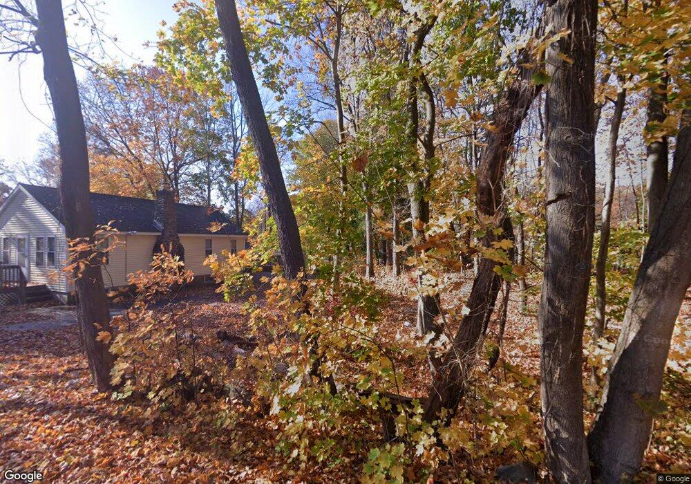
13 Bauer Rd East Hampton, CT 06424
Middle Haddam NeighborhoodEstimated Value: $331,697 - $486,000
3
Beds
2
Baths
1,584
Sq Ft
$253/Sq Ft
Est. Value
About This Home
This home is located at 13 Bauer Rd, East Hampton, CT 06424 and is currently estimated at $400,924, approximately $253 per square foot. 13 Bauer Rd is a home located in Middlesex County with nearby schools including Memorial School, Center Elementary School, and East Hampton Middle School.
Ownership History
Date
Name
Owned For
Owner Type
Purchase Details
Closed on
Jun 11, 1993
Sold by
Yarrow Robert N
Bought by
Sanzo Paul Michael and Sanzo Lucia Ann
Current Estimated Value
Home Financials for this Owner
Home Financials are based on the most recent Mortgage that was taken out on this home.
Original Mortgage
$120,458
Interest Rate
7.41%
Mortgage Type
Unknown
Create a Home Valuation Report for This Property
The Home Valuation Report is an in-depth analysis detailing your home's value as well as a comparison with similar homes in the area
Home Values in the Area
Average Home Value in this Area
Purchase History
| Date | Buyer | Sale Price | Title Company |
|---|---|---|---|
| Sanzo Paul Michael | $120,000 | -- | |
| Sanzo Paul Michael | $120,000 | -- |
Source: Public Records
Mortgage History
| Date | Status | Borrower | Loan Amount |
|---|---|---|---|
| Open | Sanzo Paul Michael | $142,400 | |
| Closed | Sanzo Paul Michael | $121,000 | |
| Closed | Sanzo Paul Michael | $20,000 | |
| Closed | Sanzo Paul Michael | $120,458 |
Source: Public Records
Tax History
| Year | Tax Paid | Tax Assessment Tax Assessment Total Assessment is a certain percentage of the fair market value that is determined by local assessors to be the total taxable value of land and additions on the property. | Land | Improvement |
|---|---|---|---|---|
| 2025 | $4,946 | $124,560 | $36,020 | $88,540 |
| 2024 | $4,738 | $124,560 | $36,020 | $88,540 |
| 2023 | $4,492 | $124,560 | $36,020 | $88,540 |
| 2022 | $4,317 | $124,560 | $36,020 | $88,540 |
| 2021 | $4,301 | $124,560 | $36,020 | $88,540 |
| 2020 | $4,233 | $127,730 | $36,020 | $91,710 |
| 2019 | $4,286 | $129,340 | $37,920 | $91,420 |
| 2018 | $4,051 | $129,340 | $37,920 | $91,420 |
| 2017 | $4,051 | $129,340 | $37,920 | $91,420 |
| 2016 | $3,808 | $129,340 | $37,920 | $91,420 |
| 2015 | $3,765 | $135,540 | $44,600 | $90,940 |
| 2014 | $3,276 | $135,540 | $44,600 | $90,940 |
Source: Public Records
Map
Nearby Homes
- 15 Bauer Rd
- 9 Bauer Rd
- 1 Bauer Rd
- 14 Bauer Rd
- 8 Bauer Rd
- 4 Bates Dr
- 8 Bates Dr
- 49 Leesville Rd
- 50 Middle Haddam Rd
- 10 Keighley Pond Rd
- 9 Bates Dr
- 8 Keighley Pond Rd
- 2 Keighley Pond Rd
- 16 Keighley Pond Rd
- 57 Middle Haddam Rd
- 55 Middle Haddam Rd
- 5 Keighley Pond Rd
- 4 Bates Dr
- 38 Keighley Pond Rd
- 57 Leesville Rd
Your Personal Tour Guide
Ask me questions while you tour the home.