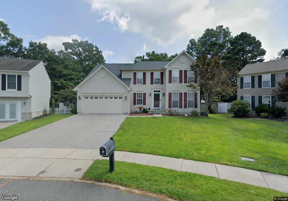
13 Belair Ct Mays Landing, NJ 08330
Estimated Value: $432,000 - $477,000
--
Bed
--
Bath
2,500
Sq Ft
$184/Sq Ft
Est. Value
About This Home
This home is located at 13 Belair Ct, Mays Landing, NJ 08330 and is currently estimated at $459,660, approximately $183 per square foot. 13 Belair Ct is a home located in Atlantic County with nearby schools including Joseph Shaner School, George L. Hess Educational Complex, and William Davies Middle School.
Ownership History
Date
Name
Owned For
Owner Type
Purchase Details
Closed on
Nov 19, 2004
Sold by
Grimes Jarrett
Bought by
Lopez Hernan
Current Estimated Value
Home Financials for this Owner
Home Financials are based on the most recent Mortgage that was taken out on this home.
Original Mortgage
$210,000
Outstanding Balance
$104,587
Interest Rate
5.75%
Estimated Equity
$355,073
Purchase Details
Closed on
Aug 31, 2000
Sold by
Nvr Inc
Bought by
Grimes Jarrett D and Grimes Natina S
Home Financials for this Owner
Home Financials are based on the most recent Mortgage that was taken out on this home.
Original Mortgage
$193,596
Interest Rate
8.07%
Mortgage Type
VA
Create a Home Valuation Report for This Property
The Home Valuation Report is an in-depth analysis detailing your home's value as well as a comparison with similar homes in the area
Home Values in the Area
Average Home Value in this Area
Purchase History
| Date | Buyer | Sale Price | Title Company |
|---|---|---|---|
| Lopez Hernan | $305,000 | -- | |
| Lopez Hernan | $305,000 | -- | |
| Lopez Hernan | $305,000 | -- | |
| Grimes Jarrett D | $188,415 | Title America Agency Corp |
Source: Public Records
Mortgage History
| Date | Status | Borrower | Loan Amount |
|---|---|---|---|
| Open | Lopez Hernan | $210,000 | |
| Closed | Lopez Hernan | $210,000 | |
| Previous Owner | Grimes Jarrett D | $193,596 | |
| Closed | Lopez Hernan | $0 |
Source: Public Records
Tax History Compared to Growth
Tax History
| Year | Tax Paid | Tax Assessment Tax Assessment Total Assessment is a certain percentage of the fair market value that is determined by local assessors to be the total taxable value of land and additions on the property. | Land | Improvement |
|---|---|---|---|---|
| 2025 | $8,351 | $243,400 | $49,600 | $193,800 |
| 2024 | $8,351 | $243,400 | $49,600 | $193,800 |
| 2023 | $7,602 | $243,400 | $49,600 | $193,800 |
| 2022 | $7,852 | $243,400 | $49,600 | $193,800 |
| 2021 | $7,585 | $243,400 | $49,600 | $193,800 |
| 2020 | $7,585 | $243,400 | $49,600 | $193,800 |
| 2019 | $7,605 | $243,400 | $49,600 | $193,800 |
| 2018 | $7,329 | $243,400 | $49,600 | $193,800 |
| 2017 | $7,210 | $243,400 | $49,600 | $193,800 |
| 2016 | $7,001 | $243,400 | $49,600 | $193,800 |
| 2015 | $6,755 | $243,400 | $49,600 | $193,800 |
| 2014 | $6,930 | $273,300 | $54,600 | $218,700 |
Source: Public Records
Map
Nearby Homes
- 87 Devon Rd
- 6314 Lance Ave
- 6307 Lance Ave
- 0 Harding Hwy Unit 597638
- 0 Harding Hwy Unit NJAC2019438
- 6301 Knight Ave
- 6302 Palmer Ave
- 6206 Roberts Ave
- 6251 Old Harding Hwy
- 16 Holly Ct
- 13 Hickory Ln
- 14 Hickory Ln
- 11 Maple Ct
- 10 Locust Ct
- 42 Dogwood Ln
- 39 Dogwood Ln Unit OAKS OF WEYMOUTH
- 39 Dogwood Ln
- 4 Locust Ct
- 43 Hickory Ln Unit NJ
- 43 Hickory Ln