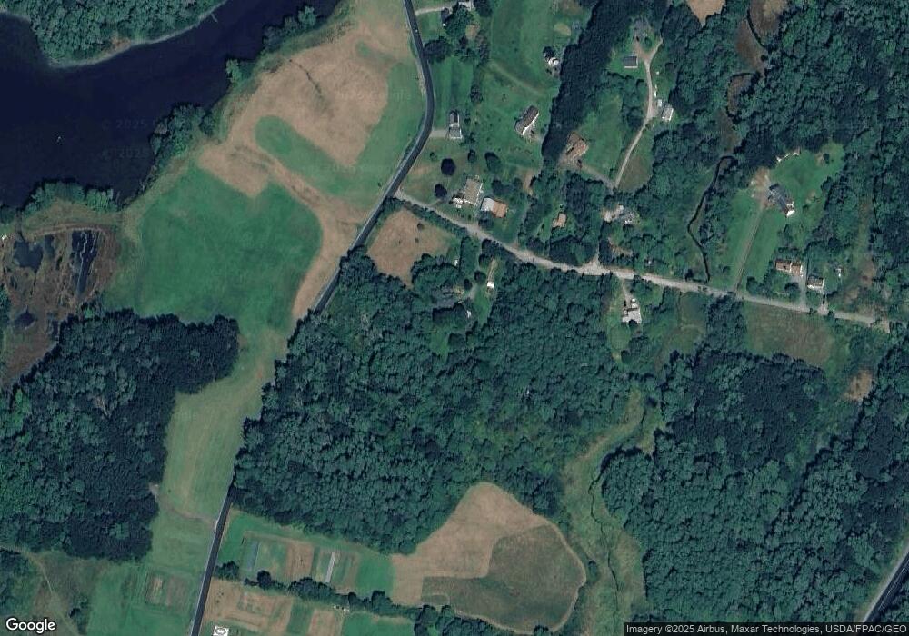
13 Branch Rd Damariscotta, ME 04543
Estimated Value: $375,893 - $463,000
4
Beds
2
Baths
1,663
Sq Ft
$246/Sq Ft
Est. Value
About This Home
This home is located at 13 Branch Rd, Damariscotta, ME 04543 and is currently estimated at $409,298, approximately $246 per square foot. 13 Branch Rd is a home located in Lincoln County with nearby schools including Great Salt Bay Community School, Damariscotta Montessori School, and Lincoln Academy.
Ownership History
Date
Name
Owned For
Owner Type
Purchase Details
Closed on
Nov 5, 2019
Sold by
Arnold Peter S
Bought by
Arnold Peter S and Everett Geneie
Current Estimated Value
Purchase Details
Closed on
Oct 19, 2018
Sold by
Arnold Peter S
Bought by
Arnold Peter S and Everett Geneie
Create a Home Valuation Report for This Property
The Home Valuation Report is an in-depth analysis detailing your home's value as well as a comparison with similar homes in the area
Home Values in the Area
Average Home Value in this Area
Purchase History
| Date | Buyer | Sale Price | Title Company |
|---|---|---|---|
| Arnold Peter S | -- | -- | |
| Arnold Peter S | -- | -- | |
| Arnold Peter S | -- | -- | |
| Arnold Peter S | -- | -- |
Source: Public Records
Tax History Compared to Growth
Tax History
| Year | Tax Paid | Tax Assessment Tax Assessment Total Assessment is a certain percentage of the fair market value that is determined by local assessors to be the total taxable value of land and additions on the property. | Land | Improvement |
|---|---|---|---|---|
| 2024 | $4,201 | $227,100 | $58,300 | $168,800 |
| 2023 | $3,482 | $222,500 | $58,300 | $164,200 |
| 2022 | $3,105 | $186,500 | $49,000 | $137,500 |
| 2021 | $2,965 | $186,500 | $49,000 | $137,500 |
| 2020 | $2,984 | $186,500 | $49,000 | $137,500 |
| 2019 | $2,922 | $181,500 | $49,000 | $132,500 |
| 2018 | $2,958 | $181,500 | $49,000 | $132,500 |
| 2017 | $3,055 | $181,500 | $49,000 | $132,500 |
| 2016 | $3,125 | $181,500 | $49,000 | $132,500 |
| 2015 | $3,096 | $181,500 | $49,000 | $132,500 |
| 2014 | $2,868 | $181,500 | $49,000 | $132,500 |
| 2013 | $2,741 | $181,500 | $49,000 | $132,500 |
Source: Public Records
Map
Nearby Homes
- 16 Townley Dr
- 826 Atlantic Hwy
- 68 Belvedere Rd
- 574 Main St Unit 111
- 295 Mills Rd
- 6 Teal Ln
- 128 Mills Rd
- 72 Glidden St
- 26 Lake Meadow Ln
- 4 Shamrock Ln
- Lot#10 Shamrock Ln
- 22 Shamrock Ln
- 178 Lower Cross Rd
- Lot 60 Heater Rd
- 80 Academy Hill Rd
- 35 Main St
- 00 W Hamlet Rd
- Lot 2-412 Center St
- Lot 4-412 Center St
- Lot 3-412 Center St
- 6 Branch Rd
- 0 Branch Rd Unit 390475
- 0 Branch Rd Unit 1357404
- 0 Branch Rd Unit 1306049
- 18 Branch Rd
- 29 Branch Rd
- 189 Belvedere Rd
- 7 Creek Ln
- 28 Sibling Ln
- 36 Sibling Ln
- 12 Creek Ln
- 16 Branch Rd
- 21 Creek Ln
- 54 Branch Rd
- 52 Branch Rd
- 28 Creek Ln
- 13 Hardy Hill Ln
- 00 Belvedere Rd
- 15 Oyster Creek Ln
- lot A Bayview & Belvedere
