13 Brandon Ln Unit 31E Mystic, CT 06355
Mystic NeighborhoodEstimated Value: $810,000 - $856,000
3
Beds
2
Baths
3,174
Sq Ft
$262/Sq Ft
Est. Value
About This Home
This home is located at 13 Brandon Ln Unit 31E, Mystic, CT 06355 and is currently estimated at $832,393, approximately $262 per square foot. 13 Brandon Ln Unit 31E is a home located in New London County with nearby schools including Stonington Middle School and Stonington High School.
Ownership History
Date
Name
Owned For
Owner Type
Purchase Details
Closed on
Mar 6, 2025
Sold by
Judith G Dupont Ret and Dupont
Bought by
Kinghouse Capital Llc
Current Estimated Value
Purchase Details
Closed on
Mar 29, 2023
Sold by
Dupont Judith G
Bought by
Judith G Dupont Ret and Dupont
Purchase Details
Closed on
Nov 6, 2008
Sold by
Richard A Kimball Ret and Kimball Richard A
Bought by
Dupont Judith G
Create a Home Valuation Report for This Property
The Home Valuation Report is an in-depth analysis detailing your home's value as well as a comparison with similar homes in the area
Home Values in the Area
Average Home Value in this Area
Purchase History
| Date | Buyer | Sale Price | Title Company |
|---|---|---|---|
| Kinghouse Capital Llc | $800,000 | None Available | |
| Judith G Dupont Ret | -- | None Available | |
| Dupont Judith G | $705,000 | -- | |
| Dupont Judith G | $705,000 | -- |
Source: Public Records
Mortgage History
| Date | Status | Borrower | Loan Amount |
|---|---|---|---|
| Previous Owner | Dupont Judith G | $200,000 |
Source: Public Records
Tax History Compared to Growth
Tax History
| Year | Tax Paid | Tax Assessment Tax Assessment Total Assessment is a certain percentage of the fair market value that is determined by local assessors to be the total taxable value of land and additions on the property. | Land | Improvement |
|---|---|---|---|---|
| 2025 | $8,498 | $438,500 | $0 | $438,500 |
| 2024 | $8,156 | $438,500 | $0 | $438,500 |
| 2023 | $8,112 | $438,500 | $0 | $438,500 |
| 2022 | $7,346 | $294,900 | $0 | $294,900 |
| 2021 | $7,402 | $294,900 | $0 | $294,900 |
| 2020 | $7,257 | $294,900 | $0 | $294,900 |
| 2019 | $7,257 | $294,900 | $0 | $294,900 |
| 2018 | $7,027 | $294,900 | $0 | $294,900 |
| 2017 | $9,357 | $389,400 | $0 | $389,400 |
| 2016 | $9,096 | $389,400 | $0 | $389,400 |
| 2015 | $8,672 | $389,400 | $0 | $389,400 |
| 2014 | $8,267 | $389,400 | $0 | $389,400 |
Source: Public Records
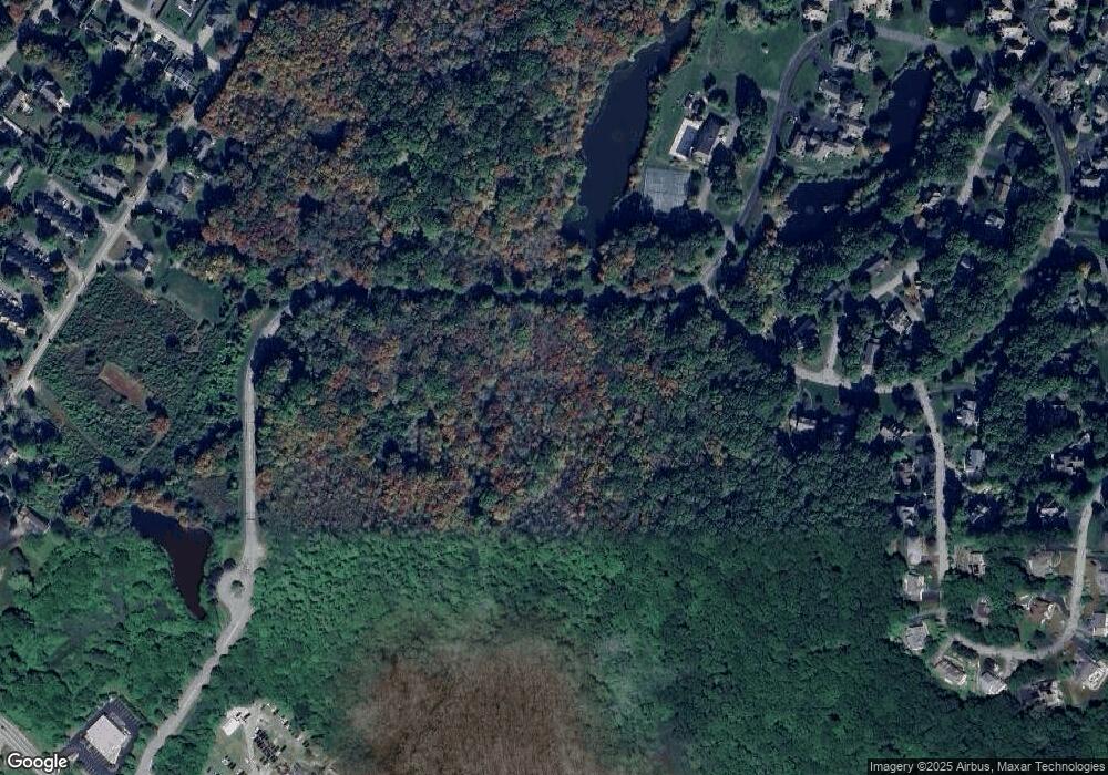
Map
Nearby Homes
- 0 Smail St Unit 24066473
- 20 Lambs Way
- 30 Cove Rd
- 215 Pequotsepos Rd
- 44 Williams Ave
- 17 Old Stonington Rd
- 9 Kingfisher Way
- 6 Kingfisher Way
- 38 Rossie St
- 62 Greenmanville Ave
- 6 Rogers Dr
- 17 Roosevelt Ave
- 8 Joyce St
- 59 Montauk Ave
- 301 Montauk Ave
- 75 Montauk Ave
- 28 Rossie St
- 174 Montauk Ave
- 39 Gledhill Ave
- 32 E Main St
- 13 Brandon Ln
- 14 Brandon Ln
- 14 Brandon Ln Unit 8-30
- 14 Brandon Ln Unit 30
- 14 Brandon Ln Unit 14
- 12 Brandon Ln
- 12 Brandon Ln Unit 12
- 15 Brandon Ln
- 15 Brandon Ln Unit x
- 15 Brandon Ln Unit 15
- 11 Brandon Ln
- 11 Brandon Ln Unit 11
- 11 Brandon Ln Unit 33
- 10 Brandon Ln
- 10 Brandon Ln Unit 10
- 3 Brandon Ln
- 3 Brandon Ln Unit 3
- 4 Exeter Ct
- 4 Exeter Ct Unit 4
- 9 Brandon Ln