13 Brewster Cir Bridgton, ME 04009
Estimated Value: $581,000 - $709,607
4
Beds
3
Baths
952
Sq Ft
$690/Sq Ft
Est. Value
About This Home
This home is located at 13 Brewster Cir, Bridgton, ME 04009 and is currently estimated at $657,152, approximately $690 per square foot. 13 Brewster Cir is a home located in Cumberland County with nearby schools including Lake Region High School.
Ownership History
Date
Name
Owned For
Owner Type
Purchase Details
Closed on
Nov 5, 2019
Sold by
Titcomb Jeffery M and Titcomb Lauren S
Bought by
Cohen Steven H and Cohen Susan B
Current Estimated Value
Home Financials for this Owner
Home Financials are based on the most recent Mortgage that was taken out on this home.
Original Mortgage
$328,000
Outstanding Balance
$288,556
Interest Rate
3.6%
Mortgage Type
New Conventional
Estimated Equity
$368,596
Create a Home Valuation Report for This Property
The Home Valuation Report is an in-depth analysis detailing your home's value as well as a comparison with similar homes in the area
Home Values in the Area
Average Home Value in this Area
Purchase History
| Date | Buyer | Sale Price | Title Company |
|---|---|---|---|
| Cohen Steven H | -- | -- |
Source: Public Records
Mortgage History
| Date | Status | Borrower | Loan Amount |
|---|---|---|---|
| Open | Cohen Steven H | $328,000 |
Source: Public Records
Tax History Compared to Growth
Tax History
| Year | Tax Paid | Tax Assessment Tax Assessment Total Assessment is a certain percentage of the fair market value that is determined by local assessors to be the total taxable value of land and additions on the property. | Land | Improvement |
|---|---|---|---|---|
| 2024 | $4,549 | $266,824 | $110,000 | $156,824 |
| 2023 | $4,589 | $266,824 | $110,000 | $156,824 |
| 2022 | $4,056 | $266,824 | $110,000 | $156,824 |
| 2021 | $3,949 | $266,824 | $110,000 | $156,824 |
| 2020 | $3,989 | $266,824 | $110,000 | $156,824 |
| 2019 | $4,002 | $266,824 | $110,000 | $156,824 |
| 2018 | $3,949 | $266,824 | $110,000 | $156,824 |
| 2017 | $4,082 | $266,824 | $110,000 | $156,824 |
| 2016 | $3,962 | $266,824 | $110,000 | $156,824 |
| 2015 | $5,246 | $381,507 | $240,000 | $141,507 |
| 2014 | $5,364 | $381,507 | $240,000 | $141,507 |
Source: Public Records
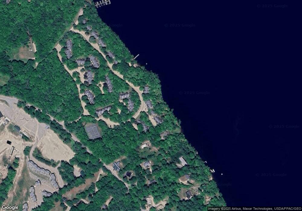
Map
Nearby Homes
- 4 Mountain Rd Unit 4
- 6 E Pinnacle Rd Unit 6
- 5 Elk Ln
- 10 N Bay Rd
- 188 Knights Hill Rd
- 11 Campbell Dr
- 31 Helena Way
- Lot 3 Jameson Dr
- 380 Hio Ridge Rd
- 28 Colony Ln
- 260 Hio Ridge Rd
- 699 N North High St
- 17 Dyvonne Terrace
- 665 N High St
- 144 Kezar Heights
- 294 Hio Ridge Shores S
- 97 Kezar Heights
- Lot 1 Whitney Rd
- 1376 Bridgton Rd
- 0 Hio Ridge Rd Unit 1637364
- 13 Brewster Cir Unit 13
- 12 Brewster Cir
- 15 Brewster Cir
- 10 Brewster Cir Unit 10
- 16 Brewster Cir
- 16 Brewster Cir Unit 16
- 21 Brewster Cir Unit 21
- 20 Brewster Cir Unit 20
- 24 Brewster Cir
- 24 Brewster Cir Unit 24
- 22 Brewster Cir Unit 22
- 25 Brewster Cir Unit 25
- 18 Brewster Cir Unit 18
- 17 Brewster Cir Unit 17
- 17 Brewster Cir Unit 1
- 19 S Edgewater Ln
- 18 Edgewater Ln
- 35 Brewster Cir Unit 35
- 31 Brewster Cir Unit 31
- 31 Brewster Circle Moose Pond Acc Unit 31