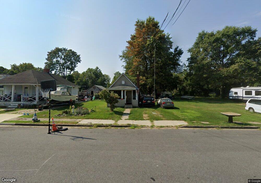
13 Broad St Deepwater, NJ 08023
Estimated Value: $61,000 - $209,000
Studio
--
Bath
504
Sq Ft
$216/Sq Ft
Est. Value
About This Home
This home is located at 13 Broad St, Deepwater, NJ 08023 and is currently estimated at $108,808, approximately $215 per square foot. 13 Broad St is a home with nearby schools including Valley Park Elementary School, Central Park Elementary School, and Penn Beach Elementary School.
Ownership History
Date
Name
Owned For
Owner Type
Purchase Details
Closed on
Oct 1, 2025
Sold by
Fundpality Ii Llc
Bought by
Citron Ventures 11 Llc
Current Estimated Value
Purchase Details
Closed on
Jan 3, 2019
Sold by
Cr 2018 Llc
Bought by
Frank Adrew W
Purchase Details
Closed on
Oct 8, 2018
Sold by
Deutsche Bank Natl T Co
Bought by
Cr C
Purchase Details
Closed on
Jun 7, 2002
Sold by
Litinger Michael P and Litzinger Michael P
Bought by
Litzinger Timothy C
Create a Home Valuation Report for This Property
The Home Valuation Report is an in-depth analysis detailing your home's value as well as a comparison with similar homes in the area
Home Values in the Area
Average Home Value in this Area
Purchase History
| Date | Buyer | Sale Price | Title Company |
|---|---|---|---|
| Citron Ventures 11 Llc | $60,000 | None Listed On Document | |
| Frank Adrew W | $9,900 | -- | |
| Cr C | $5,100 | -- | |
| Litzinger Timothy C | -- | -- |
Source: Public Records
Tax History
| Year | Tax Paid | Tax Assessment Tax Assessment Total Assessment is a certain percentage of the fair market value that is determined by local assessors to be the total taxable value of land and additions on the property. | Land | Improvement |
|---|---|---|---|---|
| 2025 | $3,079 | $60,400 | $27,600 | $32,800 |
| 2024 | $2,964 | $60,400 | $27,600 | $32,800 |
| 2023 | $2,964 | $60,400 | $27,600 | $32,800 |
| 2022 | $2,871 | $60,400 | $27,600 | $32,800 |
| 2021 | $2,792 | $60,400 | $27,600 | $32,800 |
| 2020 | $2,708 | $60,400 | $27,600 | $32,800 |
| 2019 | $2,574 | $60,400 | $27,600 | $32,800 |
| 2018 | $2,481 | $60,400 | $27,600 | $32,800 |
| 2017 | $2,394 | $60,400 | $27,600 | $32,800 |
| 2016 | $2,203 | $60,400 | $27,600 | $32,800 |
| 2015 | $2,102 | $60,400 | $27,600 | $32,800 |
| 2014 | $2,046 | $60,400 | $27,600 | $32,800 |
Source: Public Records
Map
Nearby Homes
- 107 Plant St
- 581 N Broadway
- 21 Van Buren St Unit PENNSVILLE TOWNSHIP
- 40 Filmore St
- 50 Van Buren St
- 239 Pin Oak Dr
- 604 Hawks Bridge Rd
- 1 Victory Ave Unit 84
- 1 Victory Ave Unit 74
- 1 Victory Ave Unit 72
- 1 Victory Ave Unit 8
- 1 Victory Ave Unit 93
- 1 Victory Ave Unit 56
- 1 Victory Ave Unit 26
- 1 Victory Ave Unit 52
- 0 Kent Ave
- 361 N Hook Rd
- 613 Hawks Bridge Rd
- 17 King St
- 11 Leap Ct
Your Personal Tour Guide
Ask me questions while you tour the home.